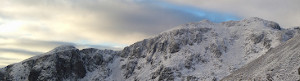

Bidean nam Bian
17. 11. 2025
Peter Schrammel
Weather
sunny, 2° in the morning
Interest 
*****: Two valleys, three summits, lakes, waterfalls and an enormous 360° view
Route
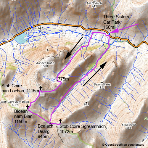
Glencoe, Three Sisters Car Park, 160m - little lakes, 775m - Stob Coire nan Lochan, 1115m - Bidean nam Bian, 1150m - Bealach Dearg, 945m - Stob Coire Sgreamhach, 1072m - Bealach Dearg - Glencoe, Three Sisters Car Park
Elevation gain
1324m
Distance
12km
Timing
6h (1:40 + 0:50 + 0:35 + 0:30 + 0:15 + 0:10 + 2:00)
Stamina
F
Difficulty
I, A: a 5m rocky section at a waterfall half-way up Coire nan Lochan 0+, a few steps on the northeast ridge 0+ and a final 3m step I to the summit of Stob Coire nan Lochan; Bidean nam Bian north ridge at most 0+; east ridge one step 0+; Stob Coire Sgreamhach at most 0+; descent from Bealach Dearg: steep, narrow gully I-, then rocky, but 0; an awkward 5m rock before the river crossing at 300m 0+; one step above the canyon 0+; awkwardly slippery steps down to the footbridge across River Coe A (in wet conditions)
Danger
5: steep meadows and scree on the way into Coire nan Lochan 3-4, then 2; northeast ridge of Stob Coire nan Lochan increasingly more exposed 4; Bidean nam Bian north ridge: traverses into the west face at the beginning 4-5, then mostly 3-4 on the east face; to Stob Coire Sgreamhach 2 (depending on the route up to 4); descent from Bealach Dearg: 3 at the beginning, steep meadows along the valley 3, some short sections up to 4; canyon in the lower part 5
Visitor frequency
c: nobody up to the summit of Stob Coire nan Lochan, 3 hikers on the summit, 1 trail runner on the summit of Stob Coire Sgreamhach, nobody down to the plain of Coire Gabhail, then several dozens of casual walkers
Comments
Contiuous 10cm snow starting at 650m, up to 30cm in accumulations
Report
The second hike on my early winter hiking trip to Scotland let me into the Glencoe valley. Already on the way to Fort William I was speculating whether it was possible to traverse Aonach Eagach, but the hike of Ben Nevis taught me that icy conditions started as low as 300m. Thus, I decided to explore the mountain range opposite. I left Fort William at 6.30am. I was the second car to arrive at the Three Sisters car park. It was still dark. While I was putting on my boots, the outline of the three sisters started to appear against the slowly brightening overcast sky. At 7.20am I walked down towards the bridge that allowed me to cross River Coe. The path into Coire nan Lochan was well-trodden, partly paved, partly worn, but steep and efficient. After some slightly exposed traverses, the path followed the right bank of the torrent. The snowy north face of Stob Coire nan Lochan was shimmering in dim pink, which disappeared quickly again. A bit of scrambling led me past a waterfall and opened the view towards an impressive waterfall that dropped down a cliff that separated me from the lakes in the upper part of the valley. I felt that the breakfast wasn't enough and ate waffle bar. I took the left path to bypass the cliff, which was increasingly covered by snow and ice making the scrambling delicate. Soon I arrived at the plateau. Suddenly I heard voices. After scanning the landscape, I noticed three hikers standing on the top of a massive cliff in the north ridge of Stob Coire nan Lochan. It was just after 9am when I put on my crampons and traversed towards the east ridge. There was a faint trace in the now from a few days ago. The ridge became narrower as I gained altitude. After a point with spectacular views down to the little lakes, the path stays below the ridge in the steep south face, with alternating sections of traversing and scrambling. It was increasingly sunny now, and the views into the dark hole of Coire Gabhail and its surrounding mountains were as fantastic as the wintery ambiance with thick frost sticking on the rocks. Suddenly, I heard voices again and I realised that I had reached the summit. It was 10am. The three guys that I had seen from the distance before were discussing about the panorama and where less freezing conditions for wall climbing could be. The enormous north face of Bidean nam Bian was full of ice. I took a few pictures and continued down to the saddle towards Bidean nam Bian. The path first traversed into the exposed north face before it climbs on the southern side of the ridge. There were at least 20cm of snow, but it was well tramped down. At 10.45am I reached the summit cairn. It was still mostly overcast, but the view was gigantic: from Ben Cruachan along Loch Etive in the south, over Ben More and Ben Lawers to Ben Alder in the east, Ben Nevis in the north and the mountains west of Loch Linnhe in the west. While I was having my lunch, the clouds dissolved progressively and I enjoyed the sun that I missed so much on the summit of Ben Nevis the day before. At 11.20am I continued my way down the east ridge. Arriving at Bealach Dearg, I was wondering where the path would lead down into Coire Gabhail, which looked extremely steep from Stob Coire nan Lochan. A first exposed gully with foot steps let me continue in disbelief. Then I reached the actually gully which was very spectacular, but less dangerous. However, before I took the way down into Coire Gabhail I wanted to make a detour to the summit of Stob Coire Sgreamhach which was just 15min further east and impressed me with its rocky north face when seen from Stob Coire nan Lochan. On the way there the stiff grass covered by snow formed bizarre heads with thick snowy hair. The weather remain sunny. Thus, I enjoyed the summit for more than 30min. From here the big, black cliffs of Bidean nam Bian's northeast face looked really grim. Suddenly, a trail runner arrived at the summit. She said hello, quickly put on her jacket, took a sip and continued down Beinn Fhada. At 12.40pm I headed back down to Bealach Dearg and climbed down the narrow cleft. The path was very icy and I needed to be very careful despite my crampons. Looking back up towards the col, it was hard to believe that it was possible to climb down what looked more like an ice cascade. The river at the bottom of the valley disappeared into tunnels in several places because its gorge had been covered by landslides from the steep faces. The path continued high up above the gorges. I made fast progress despite the rough terrain. Nonetheless it took me more than an hour to reach the river plain that Coire Gabhail is famous for. Some walkers were picnicking there and more or less equipped walkers were on a pilgrimage to this fascinating place. The plain had been formed by a huge landslide still visible today that shut the valley, leading to the valley filling up with rubble behind that dam. A weirdly shaped rock is the most difficult part of the path back down. After fording the reappearing river via huge stepping stones, the new tourist path goes over the hill, whereas I took the old path through the gorge that surprises by being very exposed, but with great views to the waterfalls. The last surprise were the slippery rocks down to the bridge over River Coe where the cable provided was greatly appreciated. At 3pm I reached the, now full, car park. The sun has already gone down behind the Three Sisters when I continued my journey to Loch Lomond where I would stay overnight and fly back to Oxford the day after.
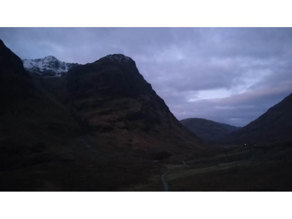
Stob Coire nan Lochan and Aonach Dubh before sunrise
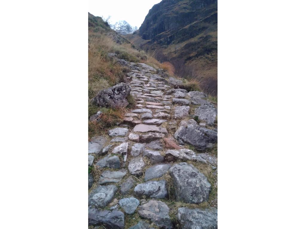
Paved trail into Coire nan Lochan
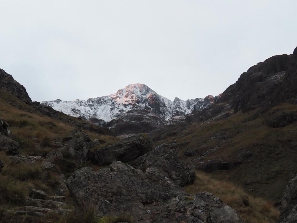
A touch of colour on the north face of Stob Coire nan Lochan
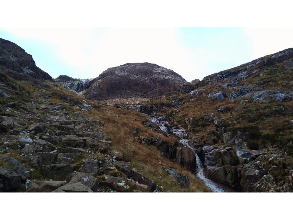
Towards the rocky barrier below the little lakes
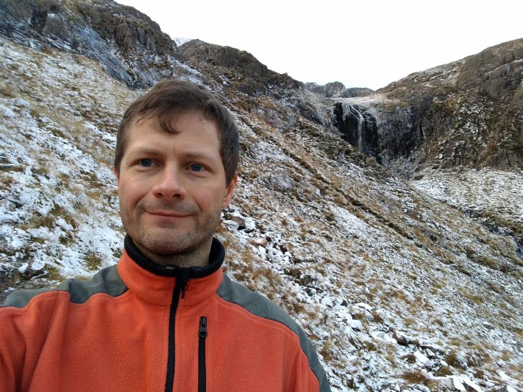
Brief break below the waterfall
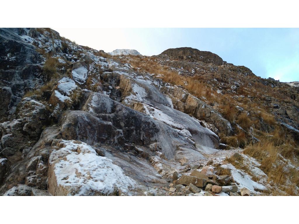
Scrambling over icy rocks towards the little lakes
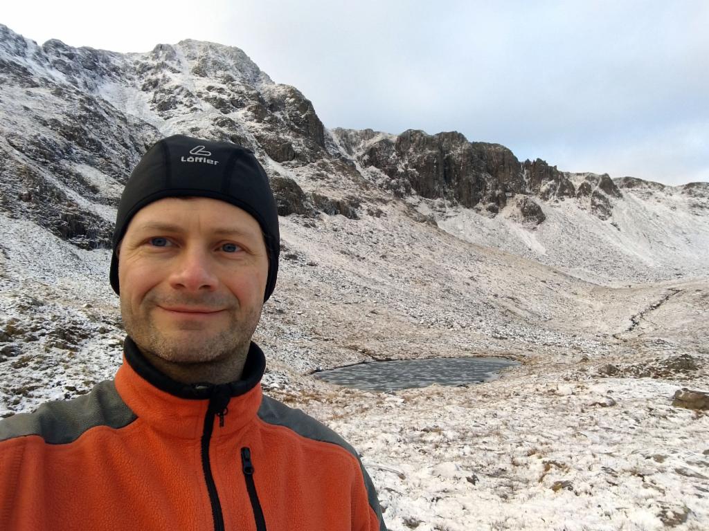
At the little lakes
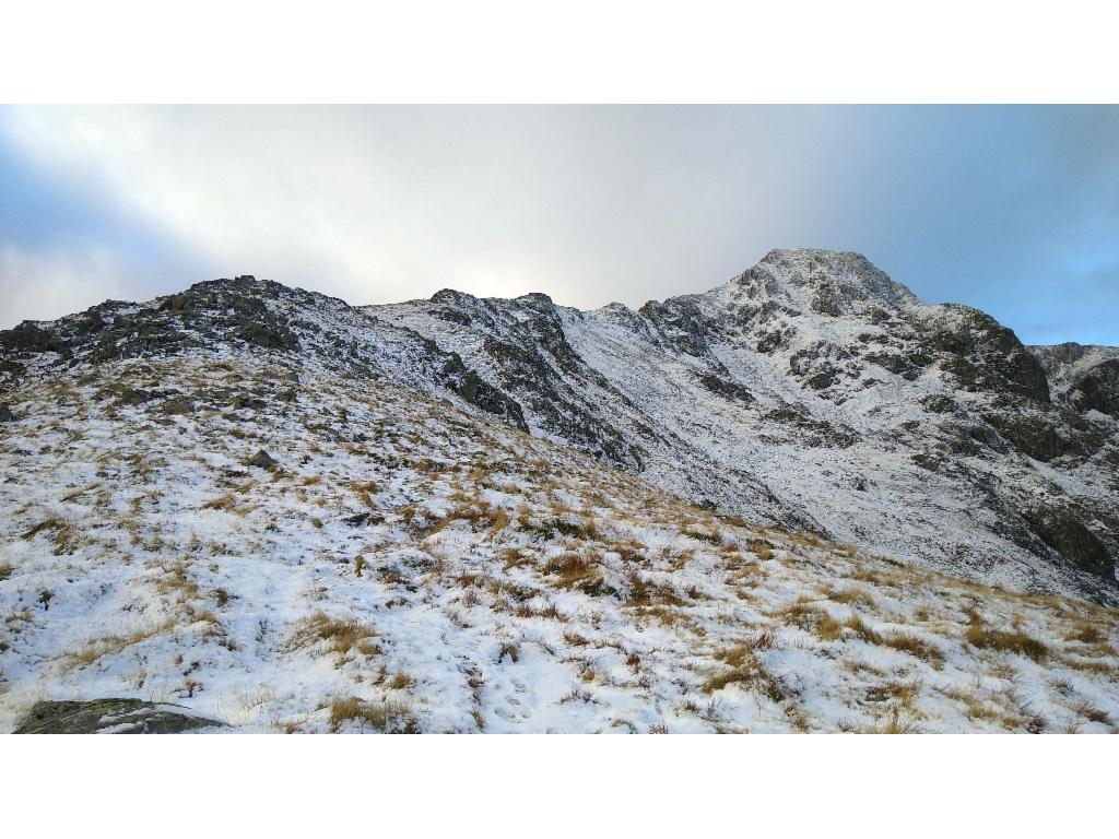
Northeast ridge of Stob Coire nan Lochan
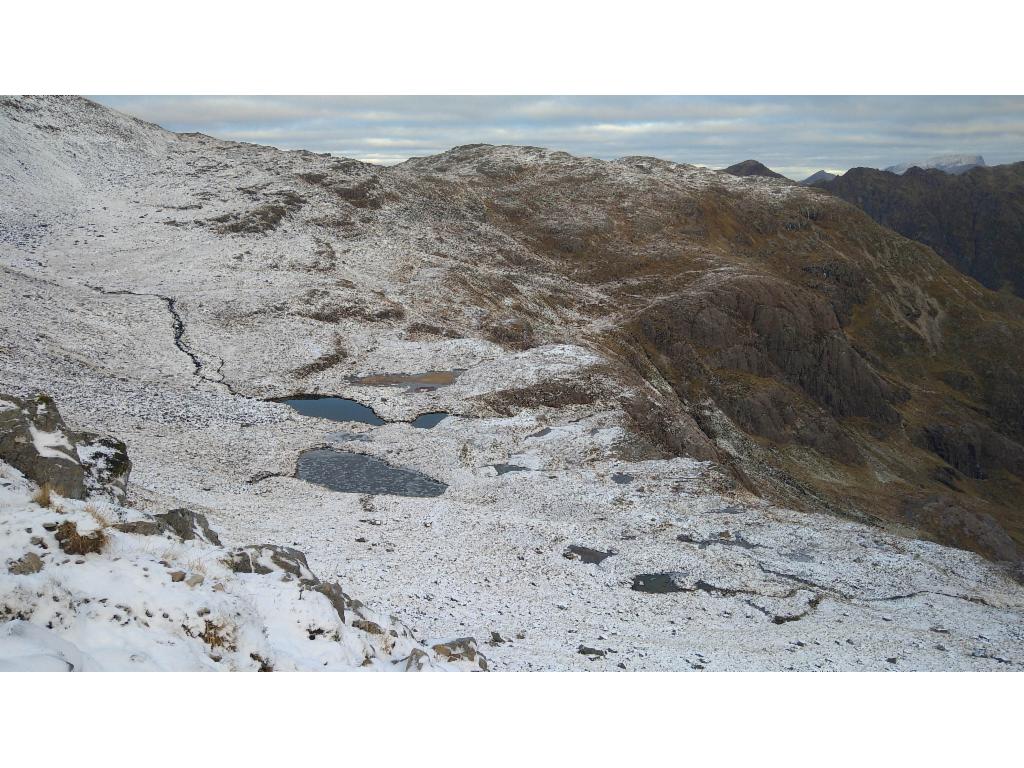
Not all the lakes are frozen.
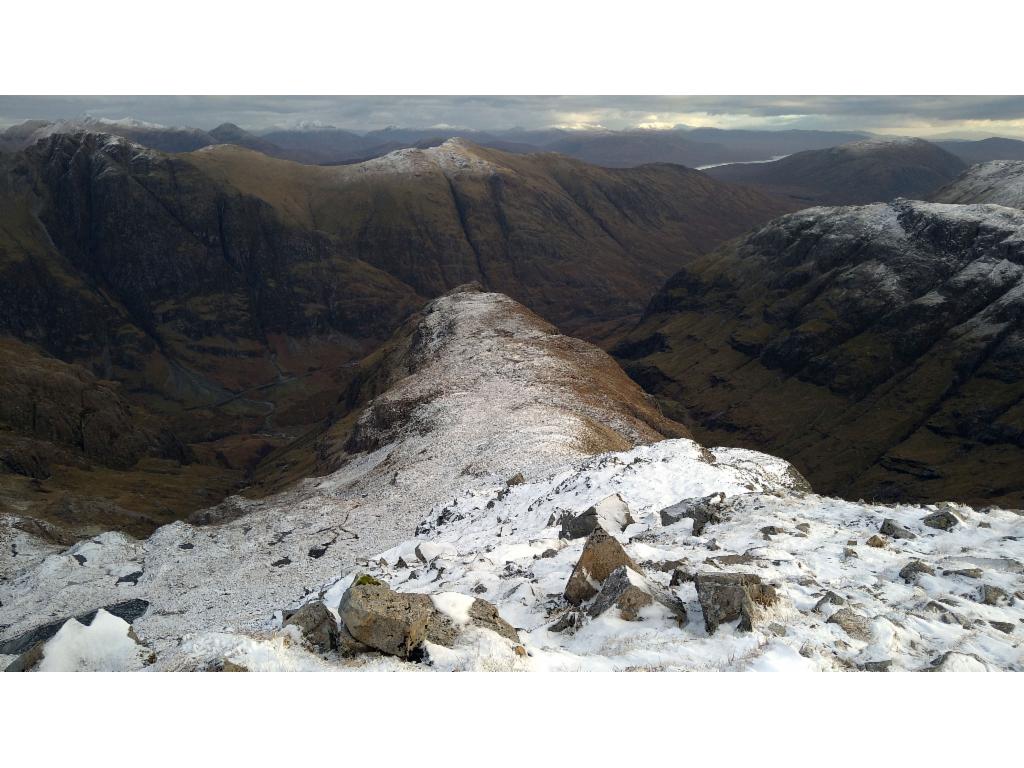
Looking down the spine of Gearr Aonach
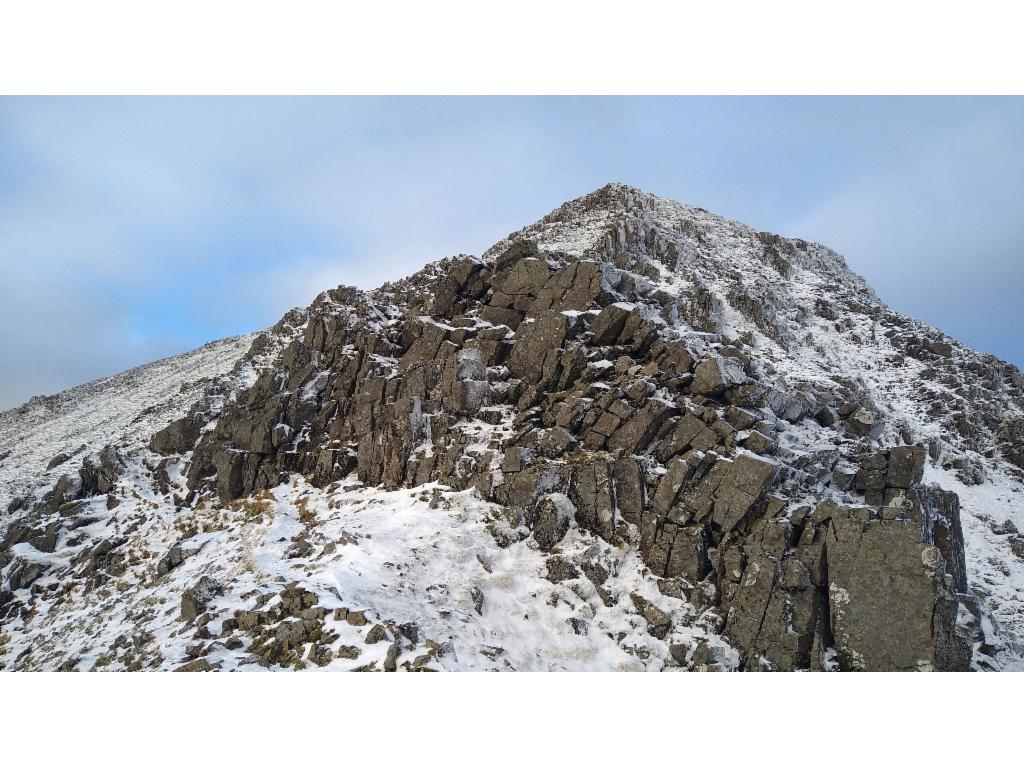
This barrier is bypassed on the left.
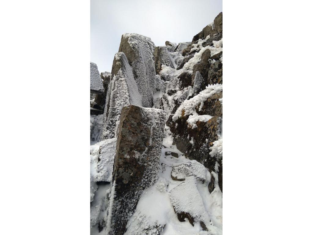
A last bit of scrambling below the summit
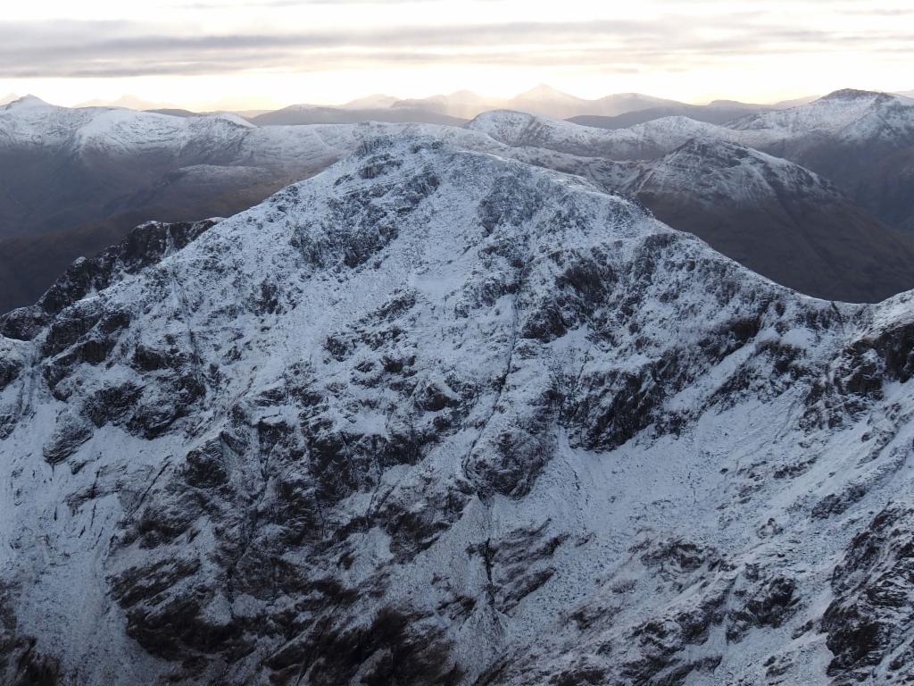
Stob Coire Sgreamhach from Stob Coire nan Lochan, with path descending from Bealach Dearg on the right
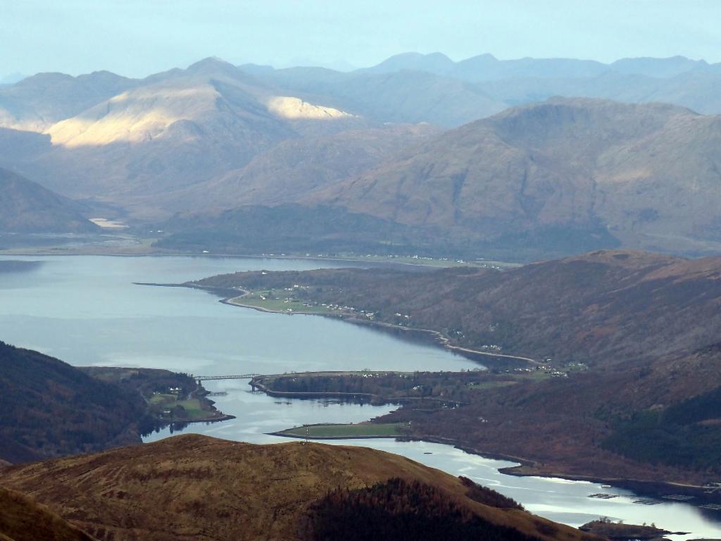
Bridge across Loch Leven
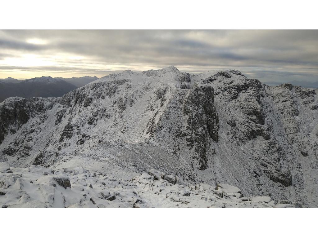
Descending to the saddle towards the north ridge of Bidean nam Bian
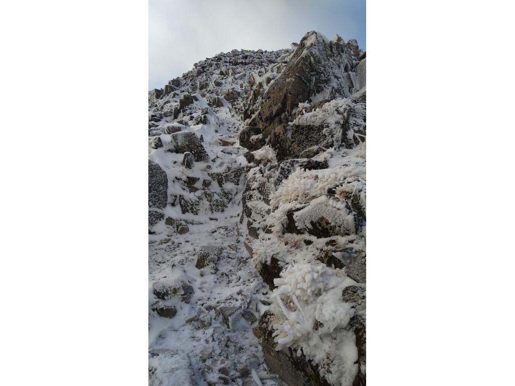
Scrambling the north ridge of Bidean nam Bian
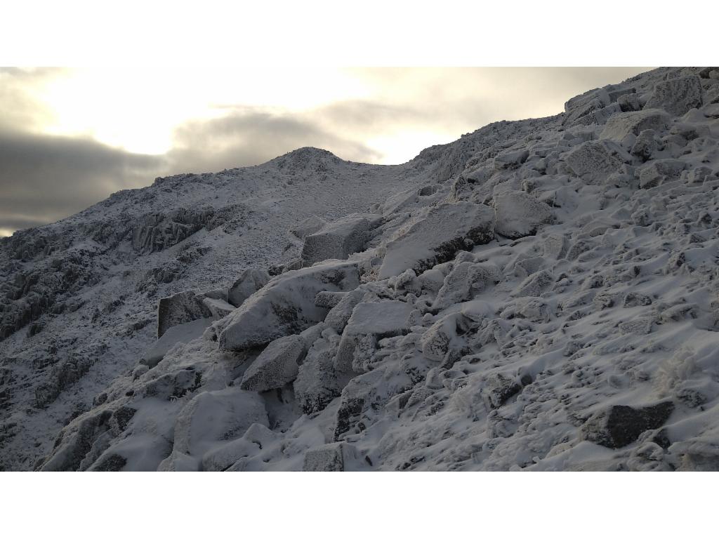
Wintery conditions
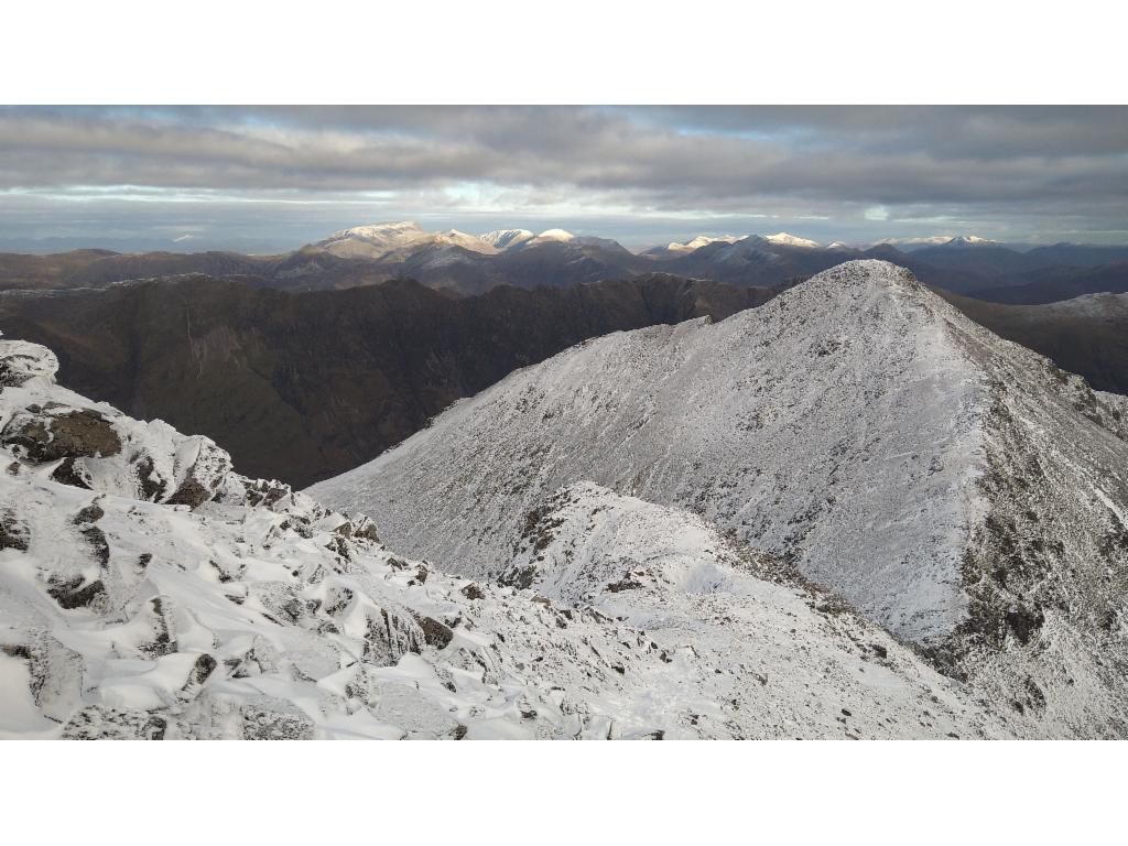
The Nevis Range appears at the horizon.
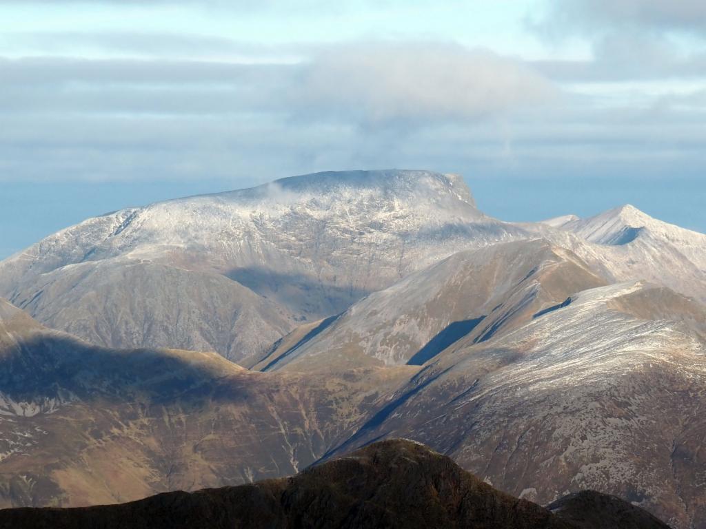
Ben Nevis from the summit of Bidean nam Bian
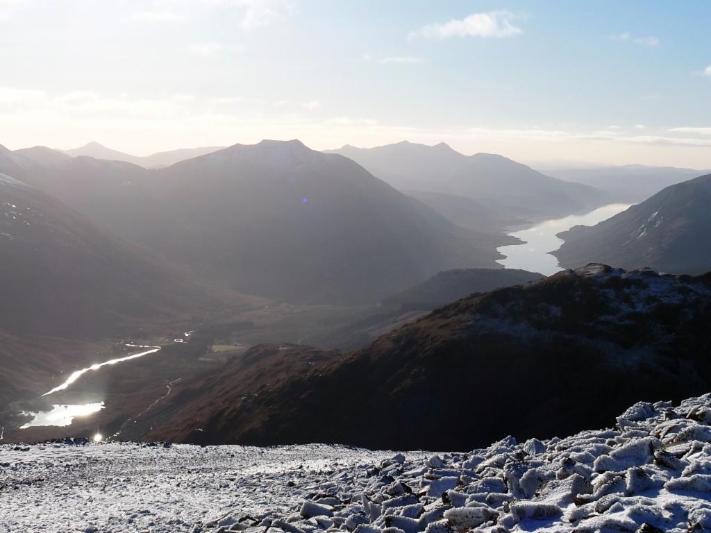
Ben Starav, Ben Cruachan and Loch Etive in the south
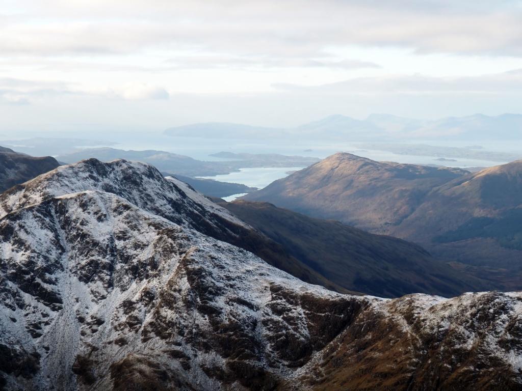
Loch Creran shimmering to the southwest
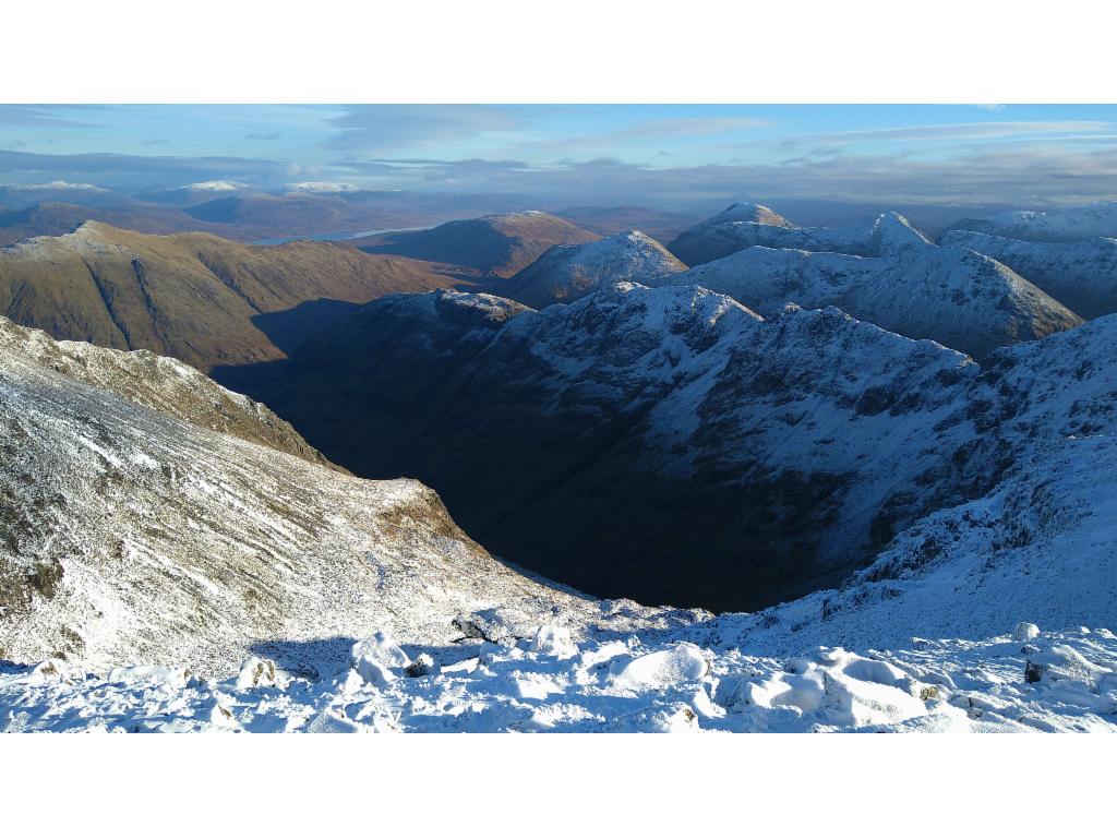
The dark hole of Coire Gabhail
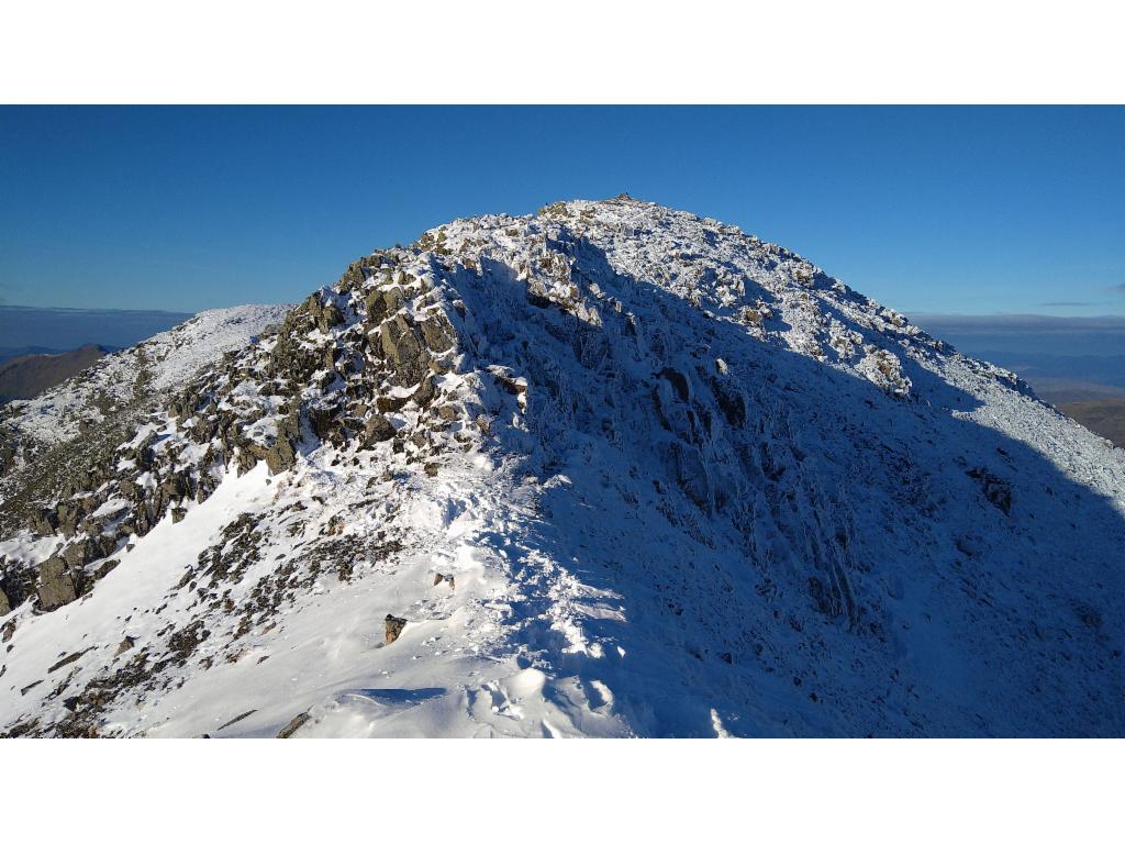
Looking back at the Bidean nam Bian summit
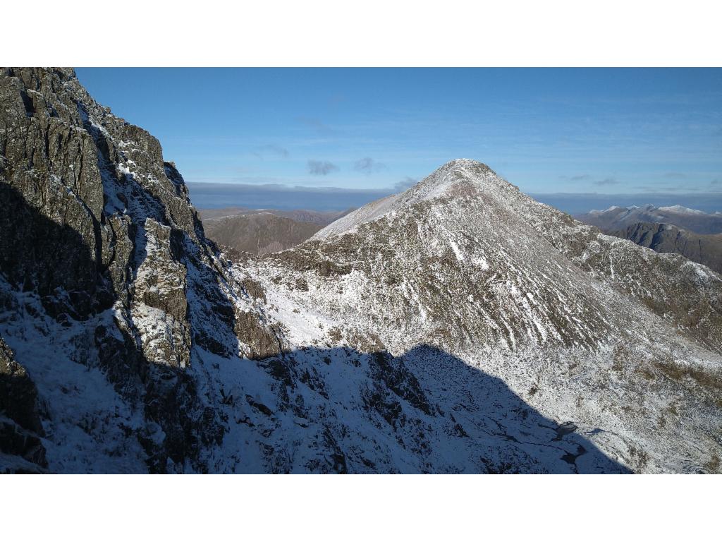
The pyramid of Stob Coire nan Lochan
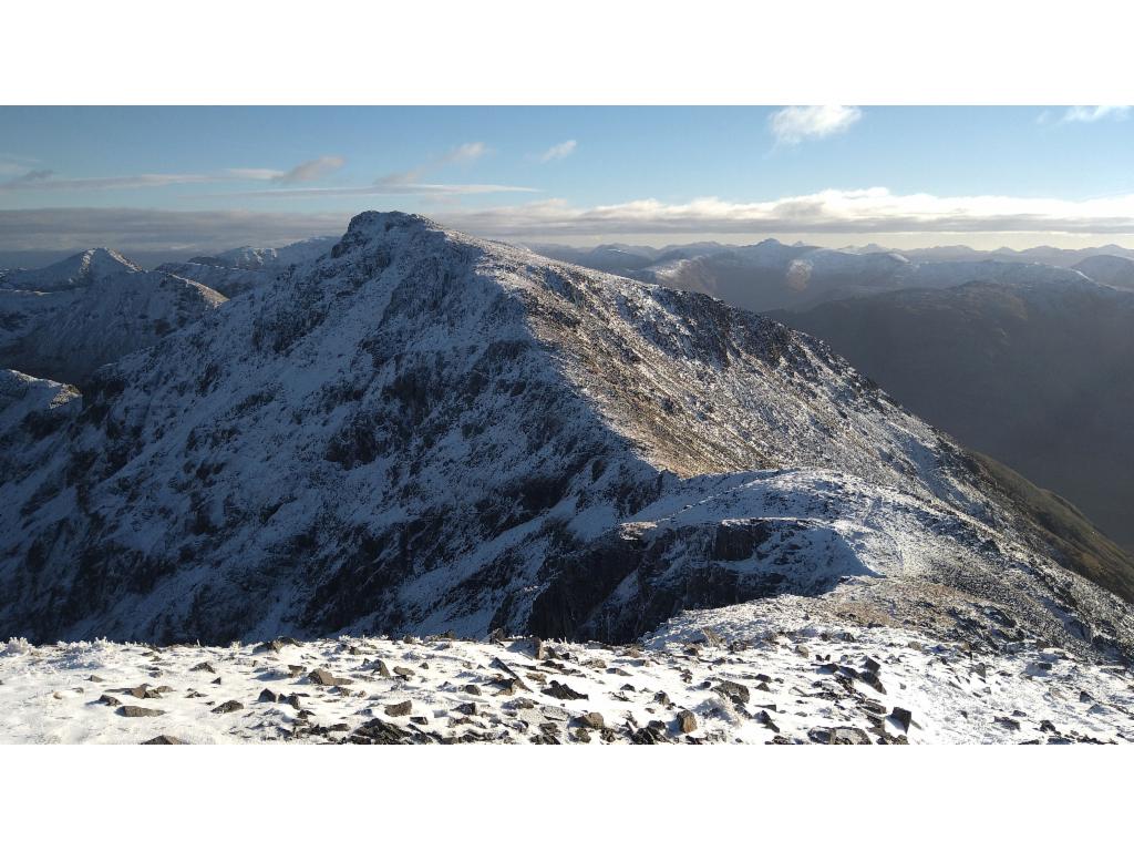
Stob Coire Sgreamhach via Bealach Dearg
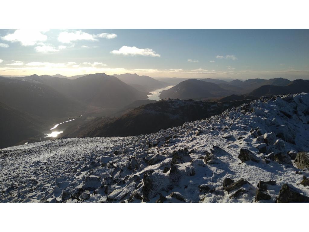
Sun rays hitting Lochan Urr, with Loch Etive in the distance seen from Bealach Dearg
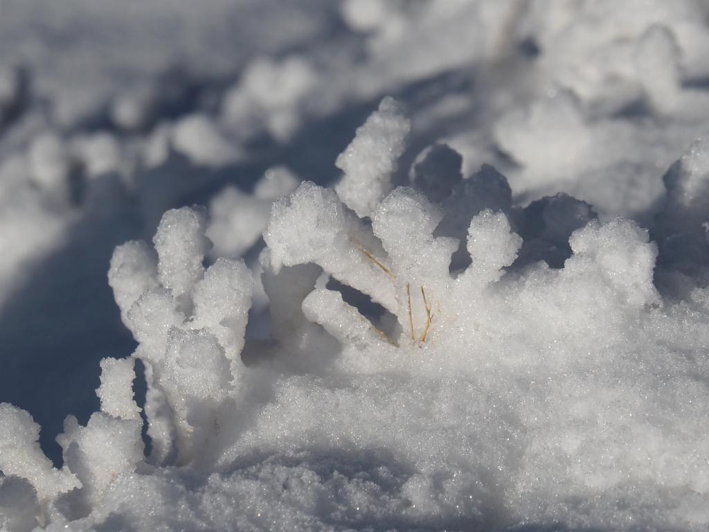
Growing trees of snow
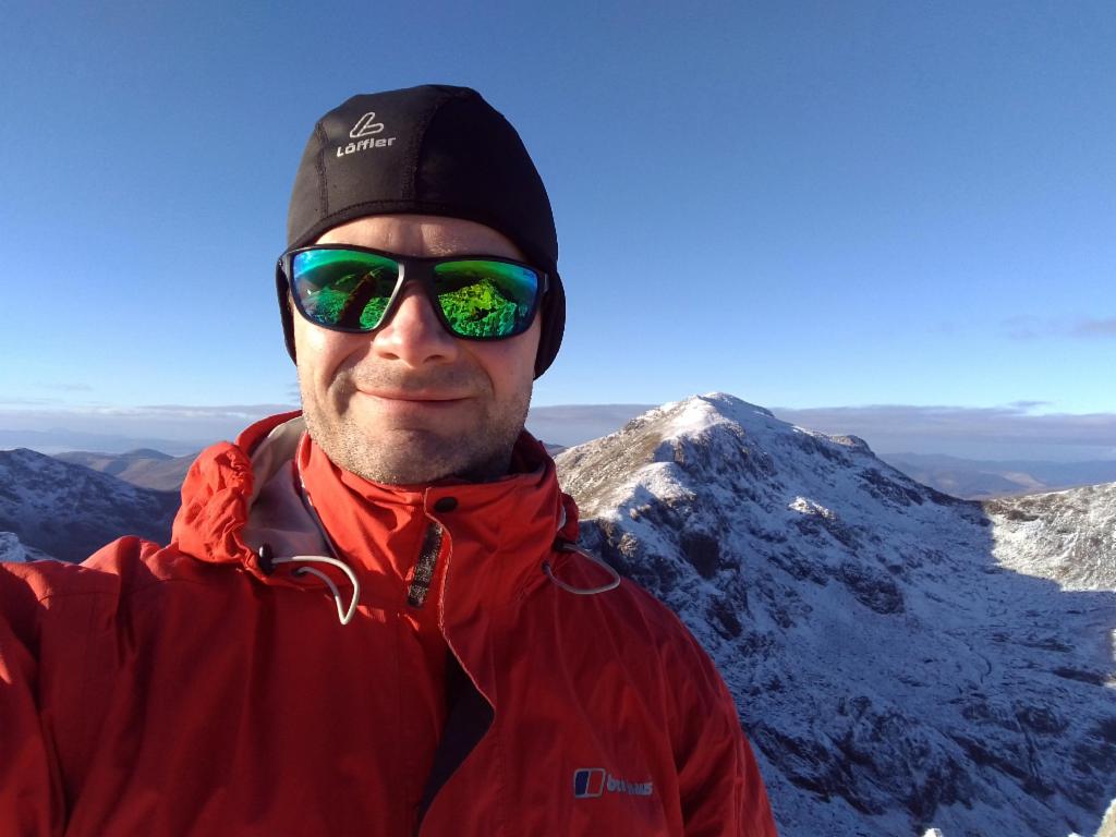
Enjoying the sun on Stob Coire Sgreamhach
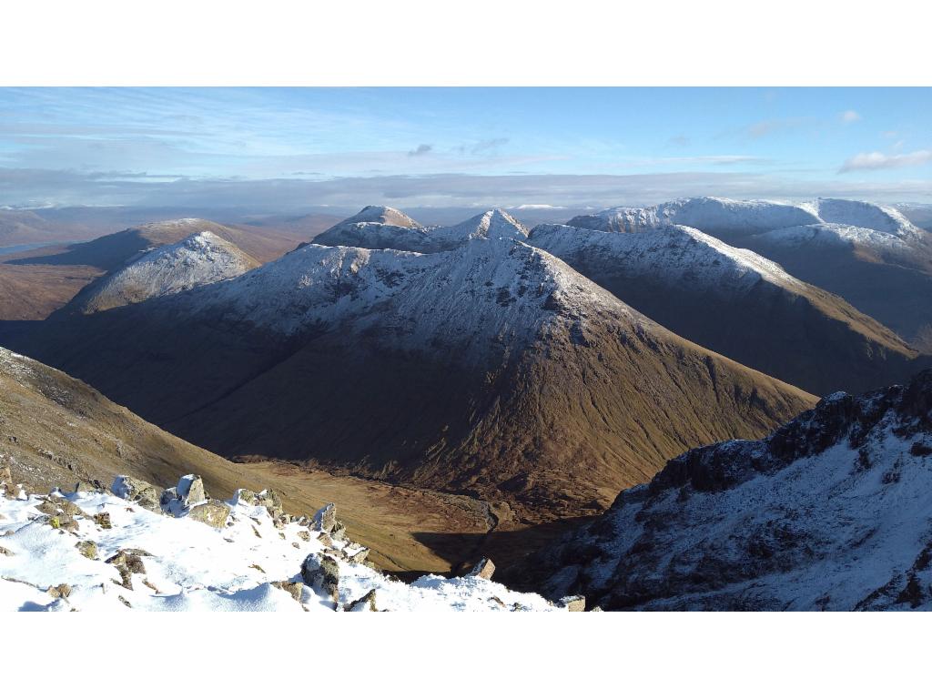
Buachaille Etive Beag and Mòr
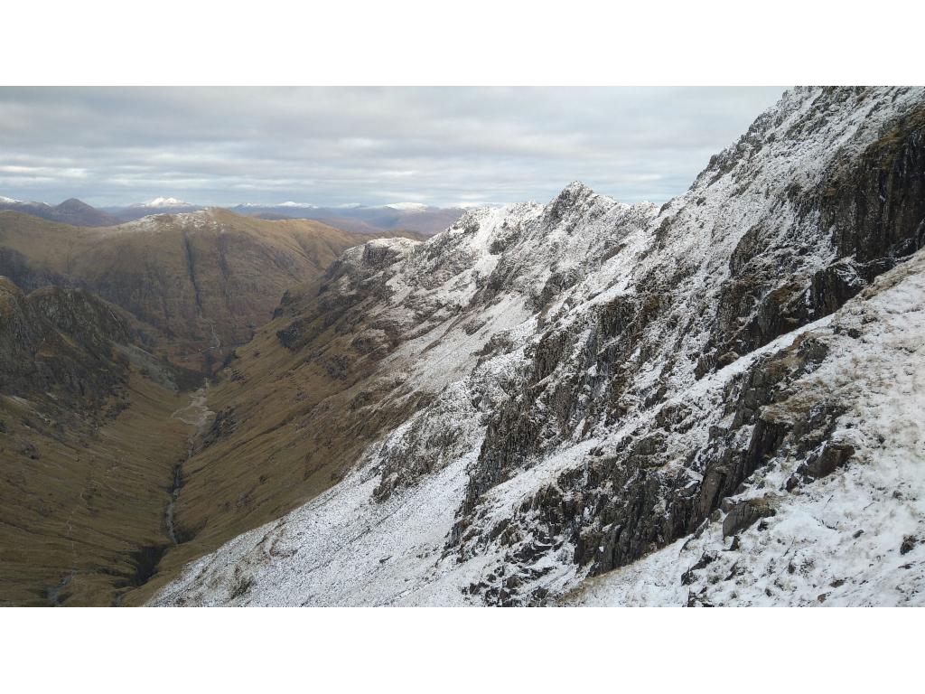
Beinn Fhada flanking the right side of the Hidden Valley
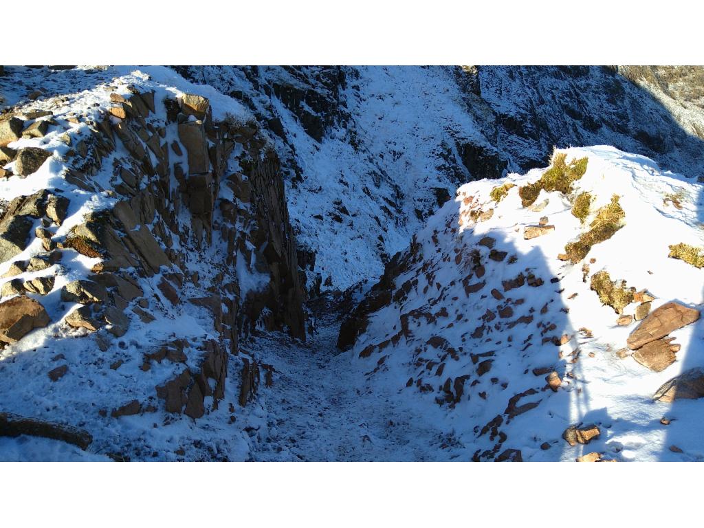
Start of the descent into the cleft
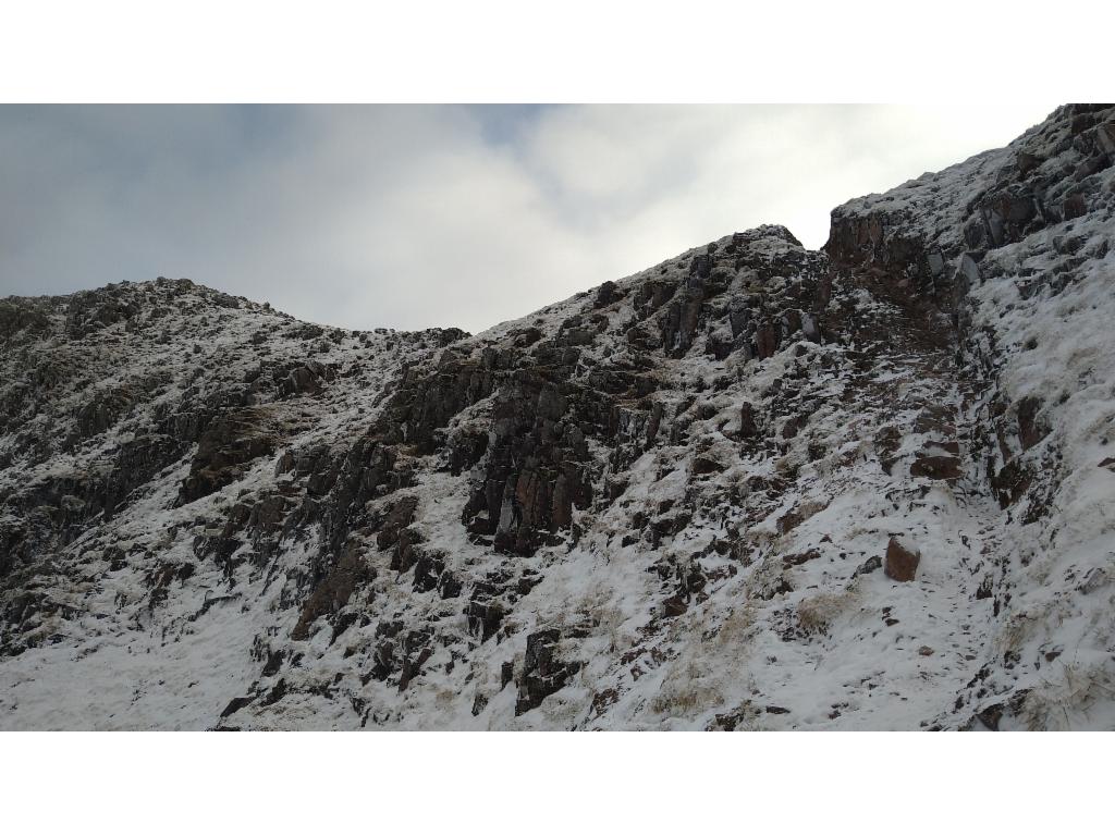
The cleft that admits the descent from Bealach Dearg
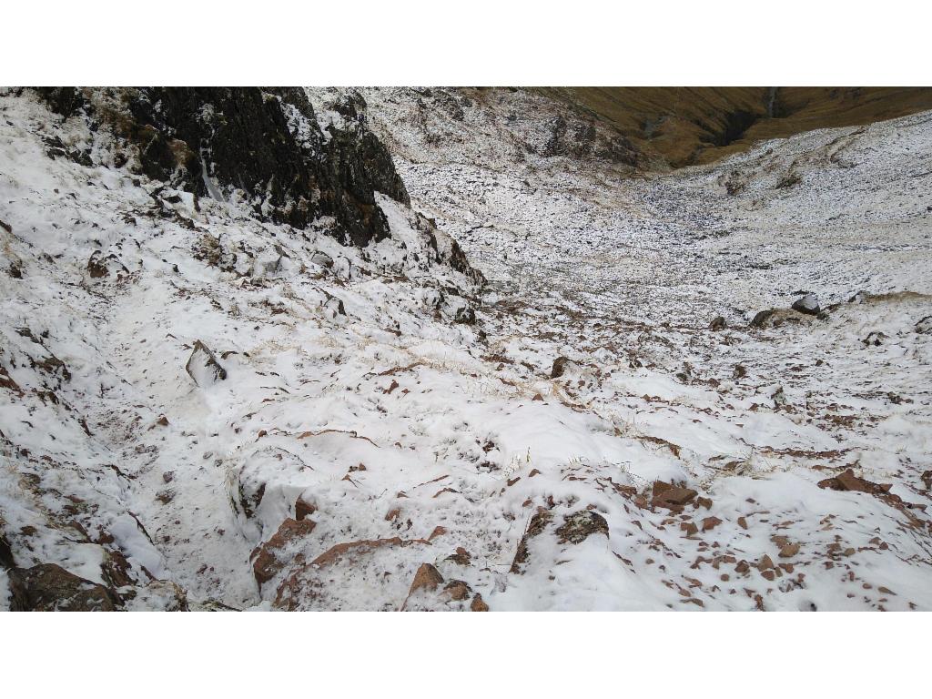
Looking down the steep ice and snow covered slope into Coire Gabhail
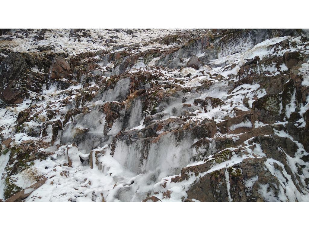
Looking back, the path looks more like an ice fall...
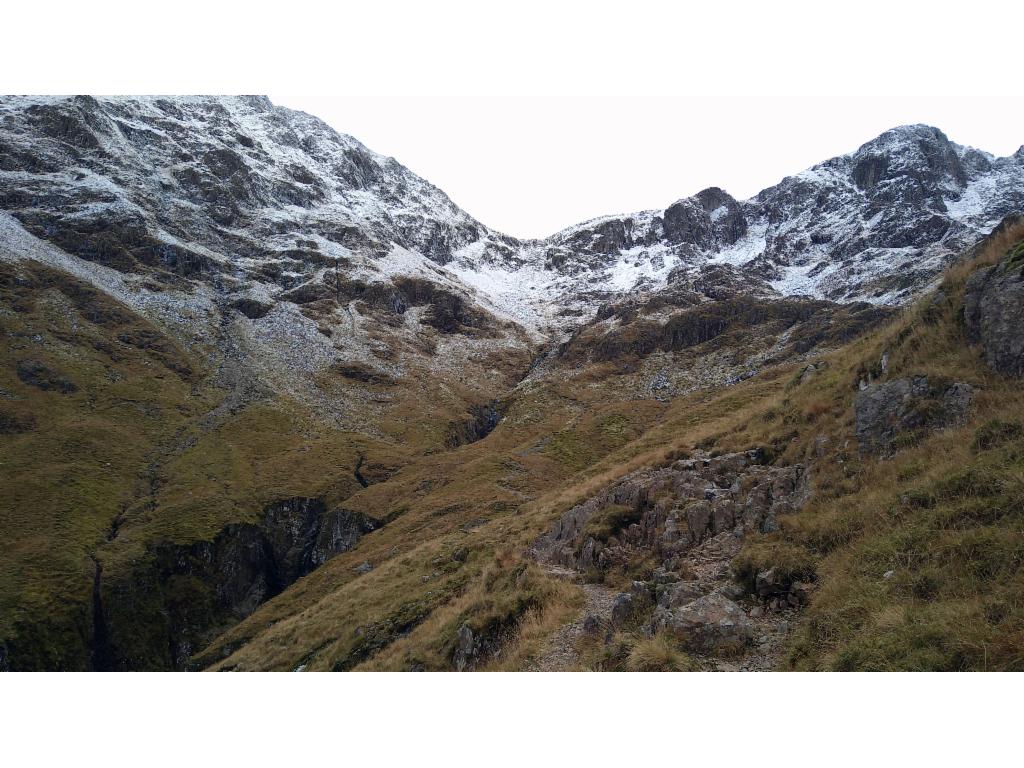
Looking back at the wintery slopes of Bealach Dearg
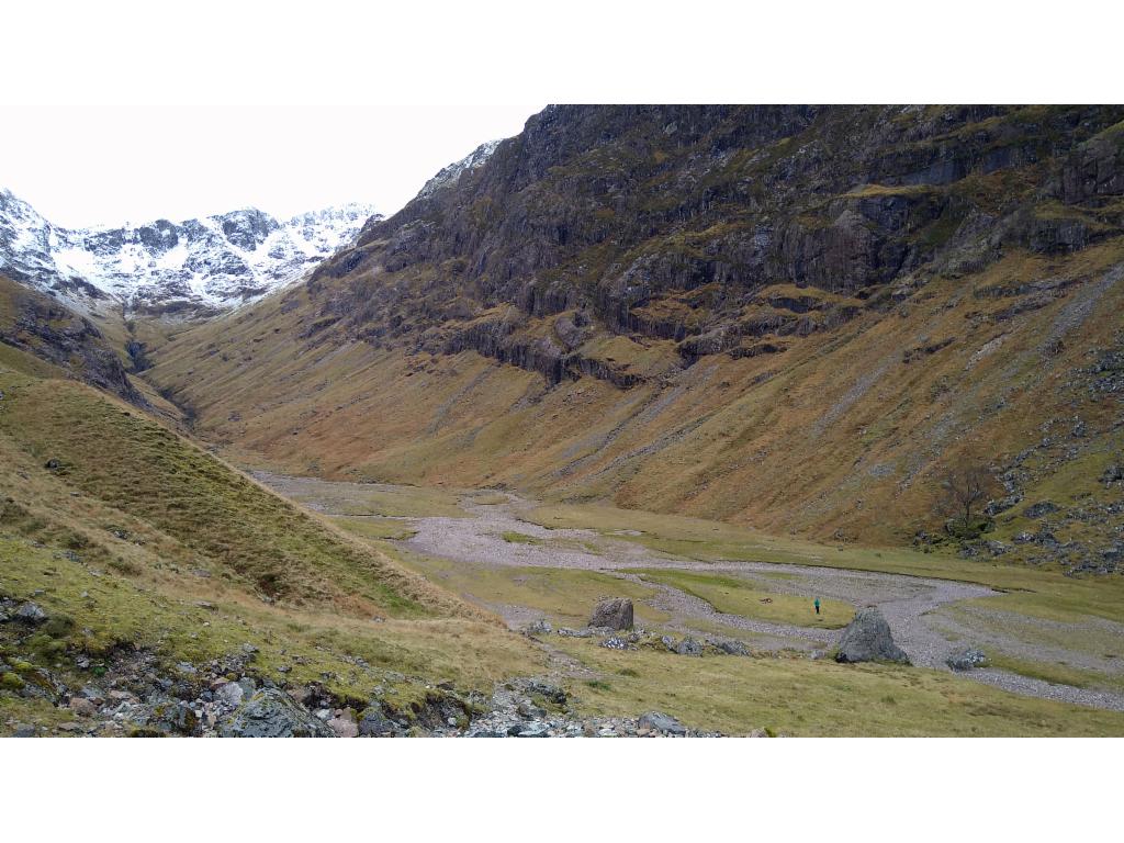
The famous river plain of Coire Gabhail
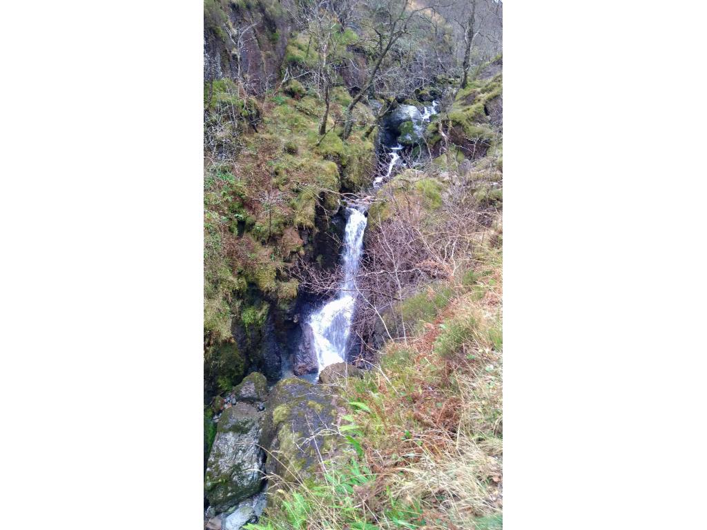
Waterfalls in the lower gorge
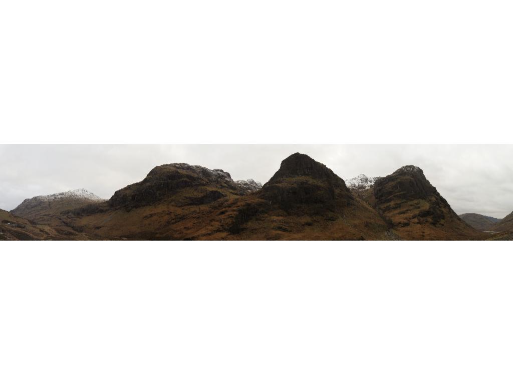
The Three Sisters from the car park