
Pretty River Valley
10. 5. 2025
Peter Schrammel
Weather
cloudless
Interest 
***: Section of the Bruce Trail with nice views to the Georgian Bay
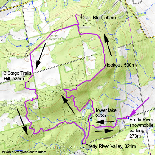
Route
Pretty River snowmobile parking, 278m - lower lake, 378m - lookout, 500m - Osler Bluff, 505m - 3 Stage Trails Hill, 535m - Pretty River Valley, 324m - Pretty River snowmobile parking
Elevation gain
593m
Distance
18km
Timing
4 1/2h (1/2 + 1 + 2/3 + 2/3 + 1 1/6 + 1/2)
Stamina
C: quite long
Difficulty
0: some rocky sections, quite rough terrain throughout
Danger
3: never directly exposed, but sometimes cliffs and deep cracks are near the path; be careful with children
Visitor frequency
d: quite busy with hikers and some mountainbikers
Comments
Massive windthrow damage caused by an ice storm end of March. The paths south of the river were difficult to follow.
Report
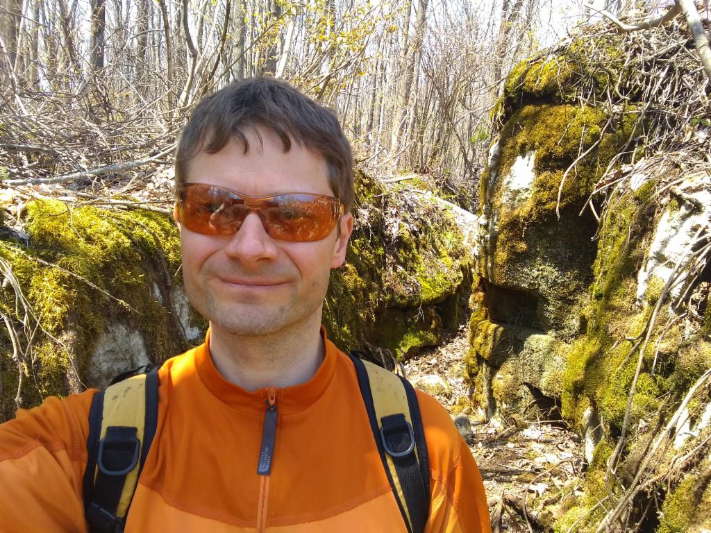
I had a late evening flight from Toronto. So, I decided to explore the area close to Lake Huron’s Georgian Bay on this cloudless day. The starting point was the snowmobile parking of Pretty River Valley Provincial Park, a 2h drive from Hamilton via Highways 403 and 10. When I arrived there at 11am I was lucky to grab the last space in the parking lot. I was a bit surprised by the 50km/h speed limit signs along the bumpy, eroded track. I then realised that this is why the parking was called for snowmobiles. I followed the Bruce Trail signs uphill. There was a lot of wind damage as I had seen on the previous days. The trees looked bare, more like in late autumn rather then May. Later I would learn that all that damage was caused by an ice storm end of March. On the way down from the hill I encountered a guided group of hill walkers. I needed to check the several times to find the right way to the lower lake as the signage wasn’t great. The path to the upper lake is not marked at all, but at least it was exactly as shown on the map. After having walked around the upper lake I suddenly reached a third lake which I did not expect, but seemed to be a temporary lake in the place of the swamp marked on the map. That also meant that I had missed the northeasternmost path to the plateau. But this wasn’t a problem – I just took the next path. Due to the missing foliage, it was quite bright in the forest and quite some flowers were blossoming along the way. After reaching the plateau I overtook a young couple who had taken the same path. There were some nice views from the edge of the rather hidden cliffs. Finally, I reached a lookout at the southeasternmost corner of the plateau with a great view to the Georgian Bay. Another couple also just arrived there and took some pictures. In the sequel the path was a lot more rugged. There were cracks in the rock again as I had already seen them on Mount Nemo a week earlier. One of the cracks was even filled with snow. After reaching a dirt track the marked path continued a bit further down and led directly through a shallow crack. Apparently, they had to relocate the trail because the owner of the land disallowed crossing their land. I followed the trail and arrived at another forest road. This wasn’t quite where I wanted to go, but maybe the path will go to the summit of Osler Bluff nonetheless. After a while it was clear that it wasn’t going there, but another path might approach it from the northwest. This was a bit of a detour, but worth the view down to Georgian Bay again. Following the edge of the plateau towards the west was forbidden again, so I had to retrace my way and continue on the marked path through Petun Conservation Area until I reached a gravel road. There were quite some cars with dog walkers. I had to follow the dusty road to cross the plateau to re-enter Pretty River Valley Park again. Rather than continuing straight I was tempted to use the crooked path leading to a little hill. This was totally worth it. These paths seem to be popular among mountainbikers – one of them overtook me on the way down. The further plan was to take one of the paths south of the river. I first followed one of these funny, rocky, crooked paths again and then crossed a glade. Suddenly, the number of fallen trees and broken branches got so much worse that I could not follow the path anymore. I turned right to see whether I could find the parallel path as indicated on the map, but there the situation was not much better. So, I had to fight my way down. Finally, I reached a piece of path again, which ended at a small glade with the remains of a hut. I was increasingly worried that I would get too far to the southwest. Suddenly, I saw a sign “slow” on a tree next to what seemed to be a track – hardly recognizable due to all the broken trees that were lying across it. This was not the only sign. So, it seemed that I was on a snowmobile track again, which was leading in the right direction at least. After some time there was a bend and a crossing, which I was able to recognize on the map and the GPS point roughly confirmed my position. The track was now leading straight down – again over hundreds of crushed trees – to the river, where I joined the marked trail again. The creek is actually quite beautiful with lots of tiny waterfalls. Now, I needed to find the path that would get me back to the parking because just following the river would eject me at the road far away from the parking. At some point there was a path to the left, but since it didn’t quite match what was depicted in the map, I thought it was too early. I continued, but the second path that I expected didn’t exist. So, likely the map wasn’t quite faithful. Anyways, there was a third path further down after a fascinating section where the brook flows in an enormously dense, dark forest. The path then finally led me back over the hill to the parking where I arrived towards 4pm. I changed clothes so that my suitcase was ready for the flight and drove back down – the section after Caledon where Highway 10 drops down the escarpment was quite impressive, with the road going 30km straight into Lake Ontario behind the skyscrapers of Mississauga.
50km/h?
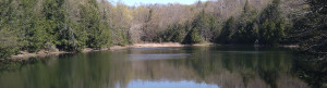
At the lower lake
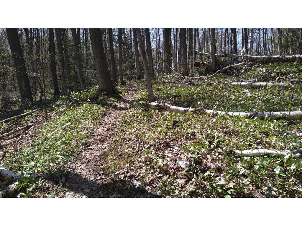
Trail
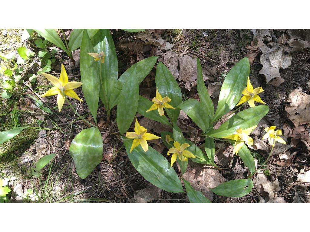
Yellow trout lily
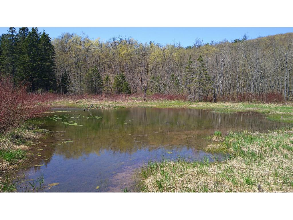
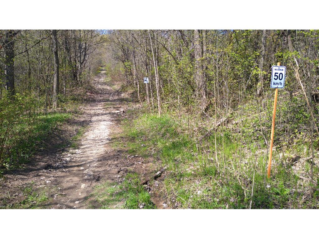
Little lake
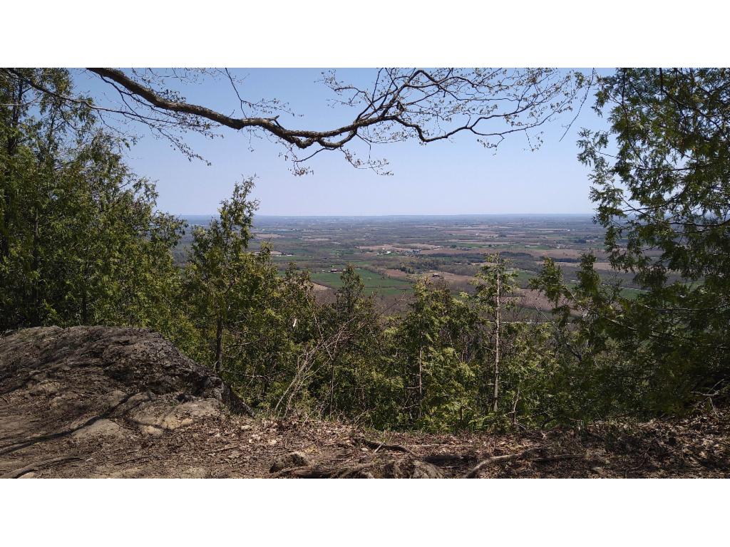
View from the plateau towards the southeast
Path through the crack
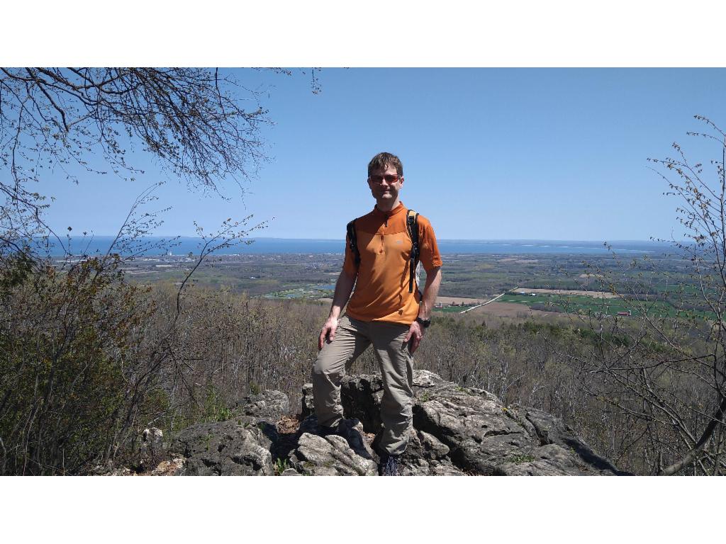
Georgian Bay from the lookout
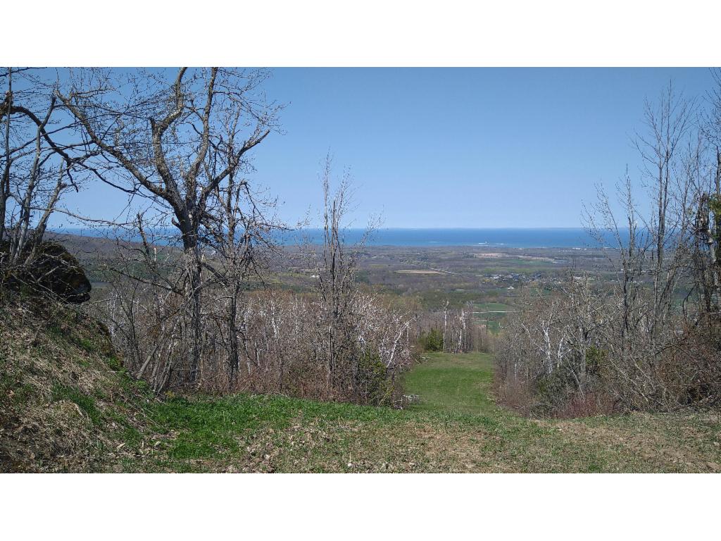
Georgian Bay from Osler Bluff
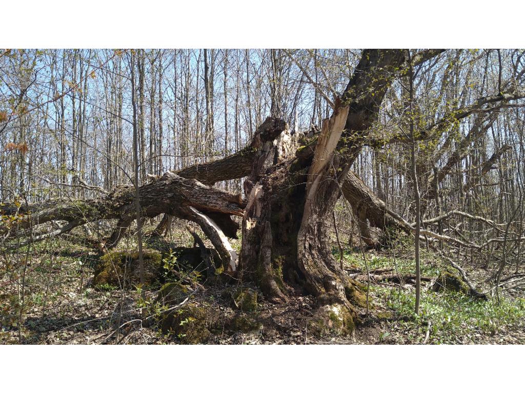
Windthrow
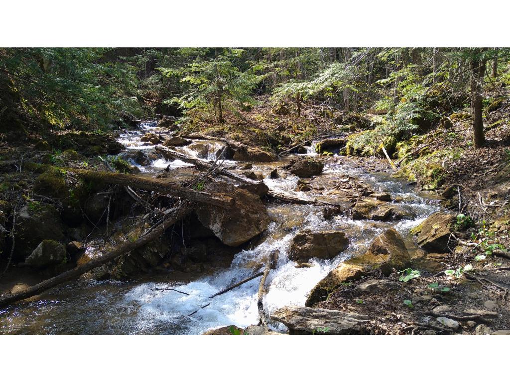
Pretty River
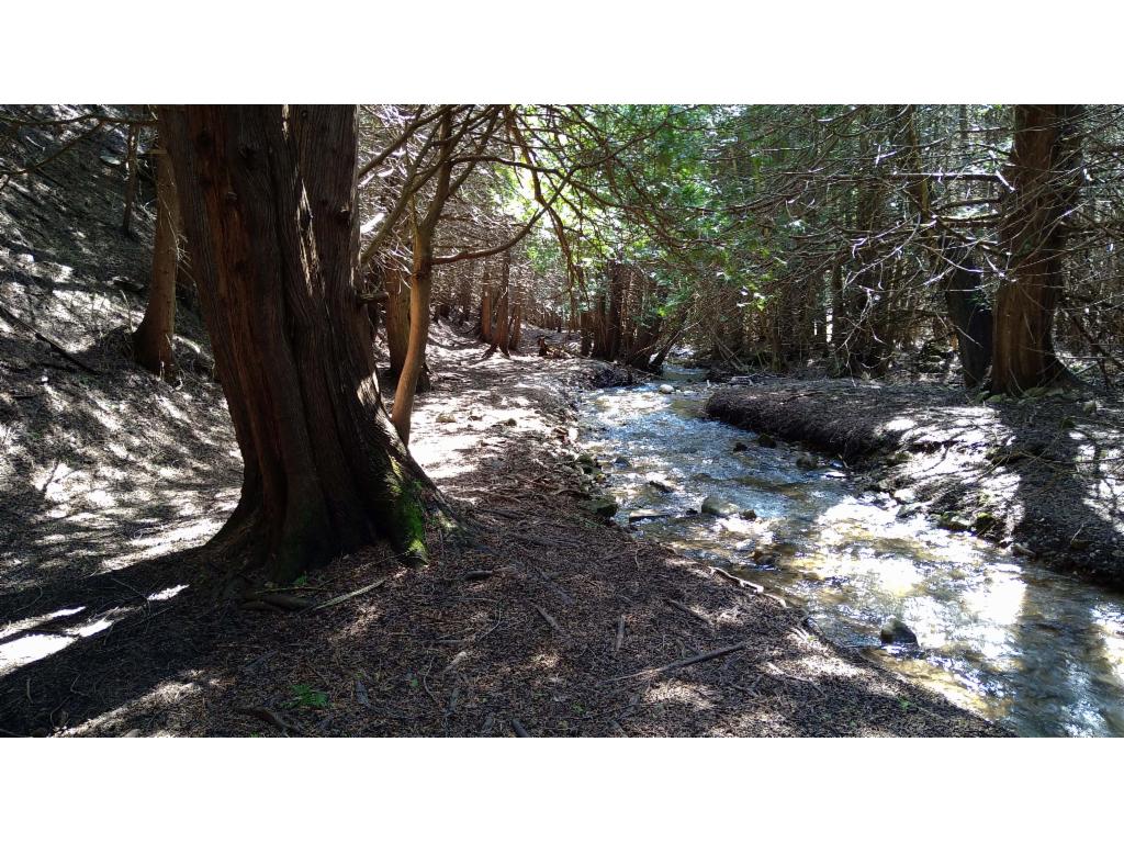
Pretty River flowing in the dark forest