
Elora Gorge
9. 5. 2025
Peter Schrammel
Weather
sunny
Interest 
***: River gorge with cliffs, waterfalls and a nice little town
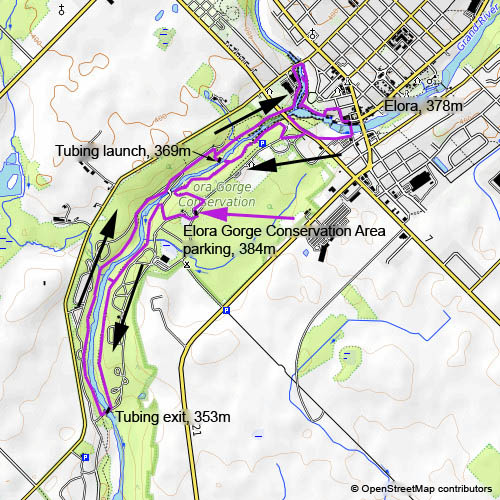
Route
Elora Gorge Conservation Area parking, 384m - Tubing exit, 353m - Tubing launch, 369m - Elora, 378m - Elora Gorge Conservation Area parking
Elevation gain
240m
Distance
10km
Timing
2 2/3h (2/3 + 2/3 + 2/3 + 2/3)
Stamina
B
Difficulty
0: sometimes rocky
Danger
1: The cliffs are all fenced off.
Visitor frequency
c: lonely towards the south, busier around Elora
Comments
Entry fee $8.99. The paths are not marked and sometimes not obvious, but usually just follow the fence.
Report
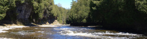
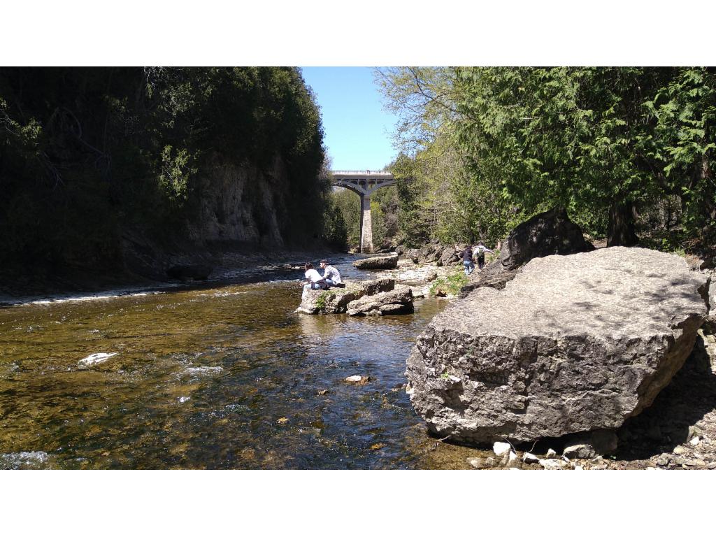
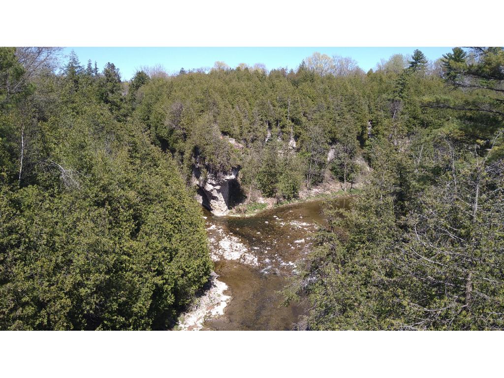
The day before I had to fly back again, I had a couple of hours and the weather was much better: blue skies and quite warm. So, I took on the 75min drive via Guelph to Elora where I parked on the grounds of the Elora Gorge Conservation Area. The plan was to first walk down along the left bank and then back on the other side. This place is well-prepared for mass tourism, given the number of picnic places, garbage bins and abundant warning signs and high fences that guard the edge of the cliffs. However, on this afternoon I didn’t see anyone for the first half of the circuit. Only a raccoon came my way and turned on his heels when he noticed me. The path was not marked. So, I just followed the traces, which mostly led along the fences. At one point there was access to the river bed with a beautiful of a waterfall of a brook that dropped into the gorge on the opposite bank. There were lots of fallen branches in some places, likely the aftermath of a storm, which I only learned about the day after. The river was flowing calmly between cliffs of varying heights. After 45min I reached the bridge, which was more like an elevated ford allowing the waters to flow under it normally and pass over it at times of flooding. On the other bank the path was even rougher and less trodden. The highlight is the fording of the brook that squeezes itself through a gap in the rocks before it falls down into the gorge. Views into the gorge itself are rather rare and often made inaccessible by the fences. Finally, I had to continue on a gravel road. Workers were mowing the meadows of the park near the tubing launch that is reachable via metal stairs allowing access to the river bed at the rapids. The path continues, as before, with rare views until it reaches David Street Bridge which crosses Irvine Creek. The bottom of Irvine Creek can be reached via stairs. A few locals were enjoying the sun on the boulders in the river bed. Newly-weds were taking pictures at the Lover’s Leap, a rocky balcony at the confluence of the two rivers. The next highlight that I expected were the Elora Gorge Falls, but they were never fully visible – it would be time to prune some branches. I walked through the town, picked up some ice cream and crossed the bridge to see whether there was a better view of the falls. The Tooth of Time, an undercut rocky island in the middle of the falls was visible, but not the ramp-like falls next to gigantic former mill building. I took a picture from Wellington Road Bridge and looked for the entrance to the park, but couldn’t find it. There was only a gate with “trespassing forbidden”. A German couple had the same problem. So, we joined forces and entered through the gate. A worker inside the gate told us to use the visitor entrance, but couldn’t explain where it was. So, we just continued. The path along the cliff offered some better views here, In particular when the path passes through a hole in the rock. After almost 3h of walking I returned to the car that got quite hot, having been exposed to the plain sun, and drove back to Hamilton.
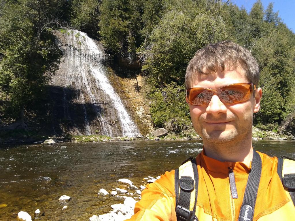
At the waterfall of a tributary
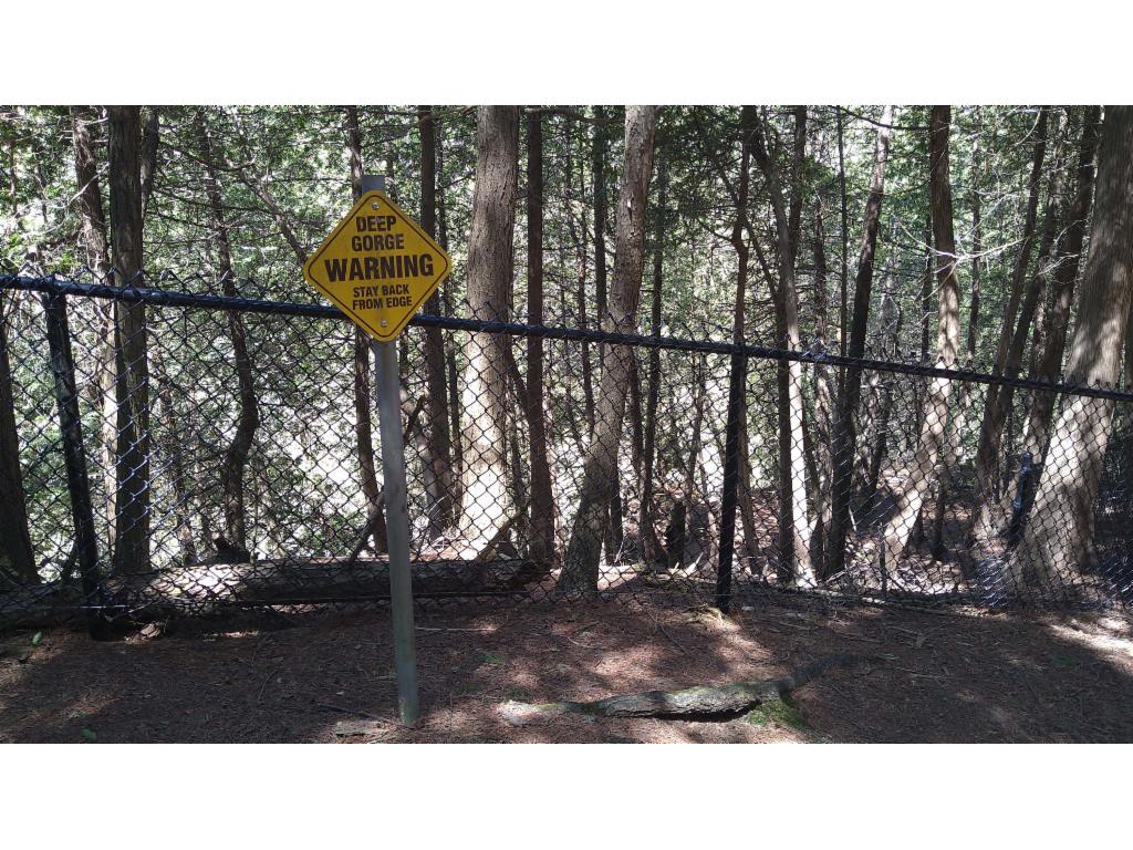
Well-protected cliff
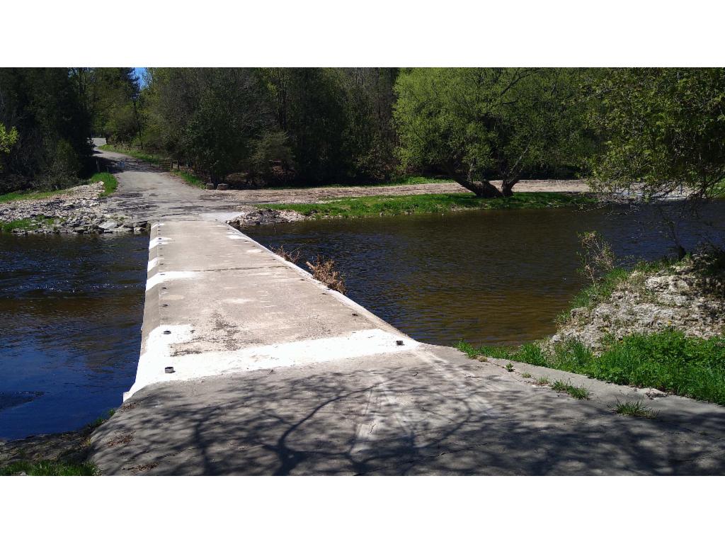
"Bridge"
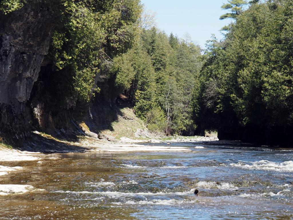
In the gorge at the tubing launch point
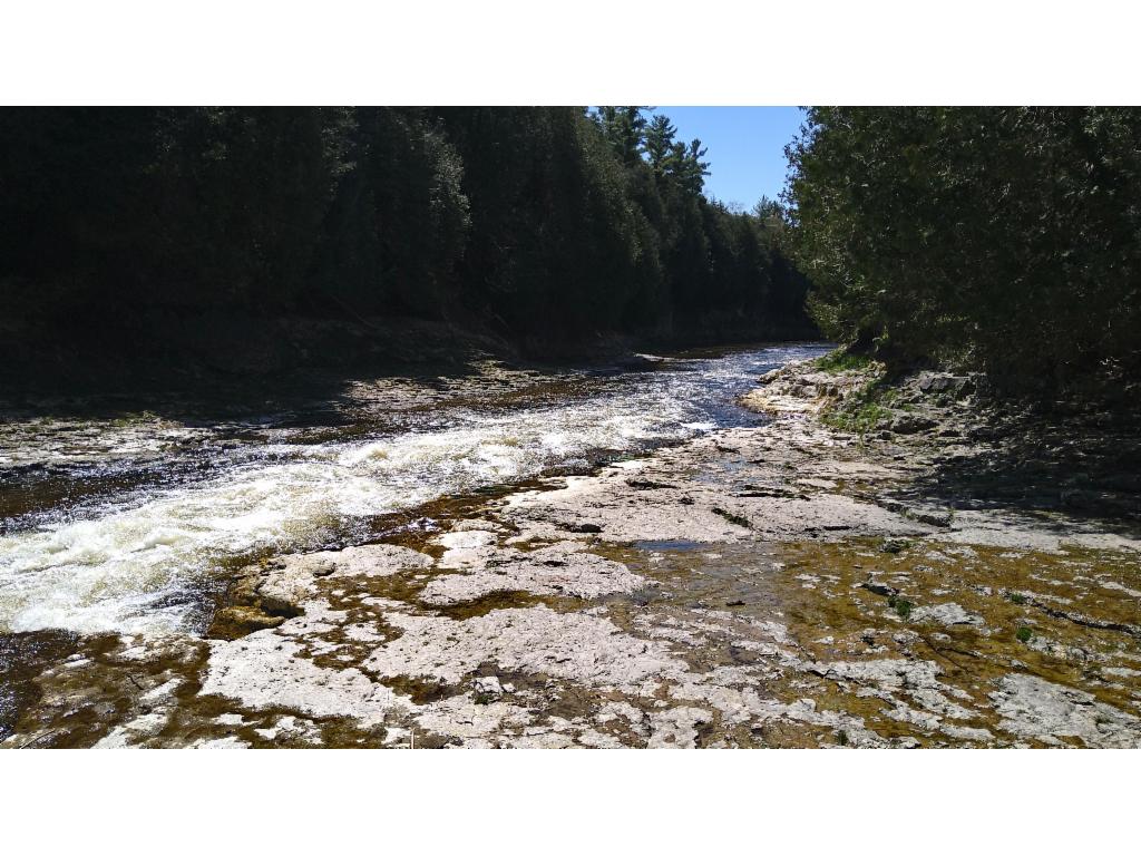
Grand River at the tubing launch point
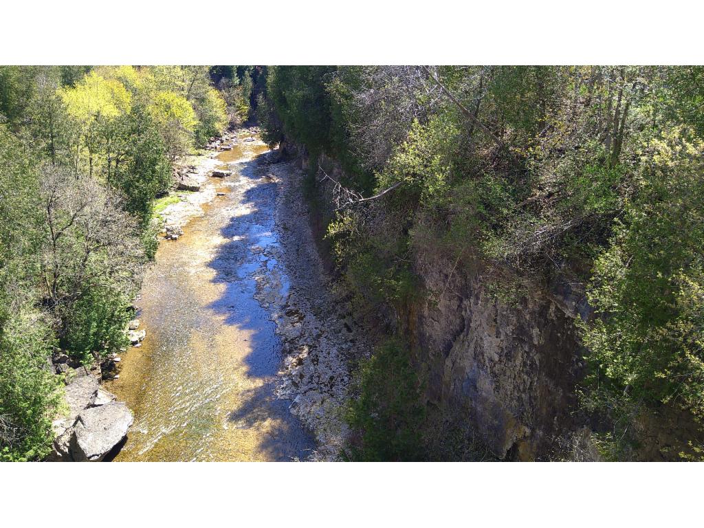
View from David Street Bridge into Irvine River gorge
At the bottom of Irvine River gorge
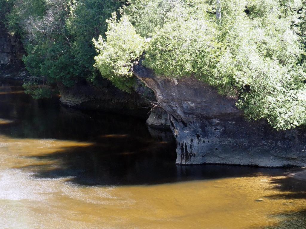
Overhanging cliffs downstream of Elora Falls

In Elora town
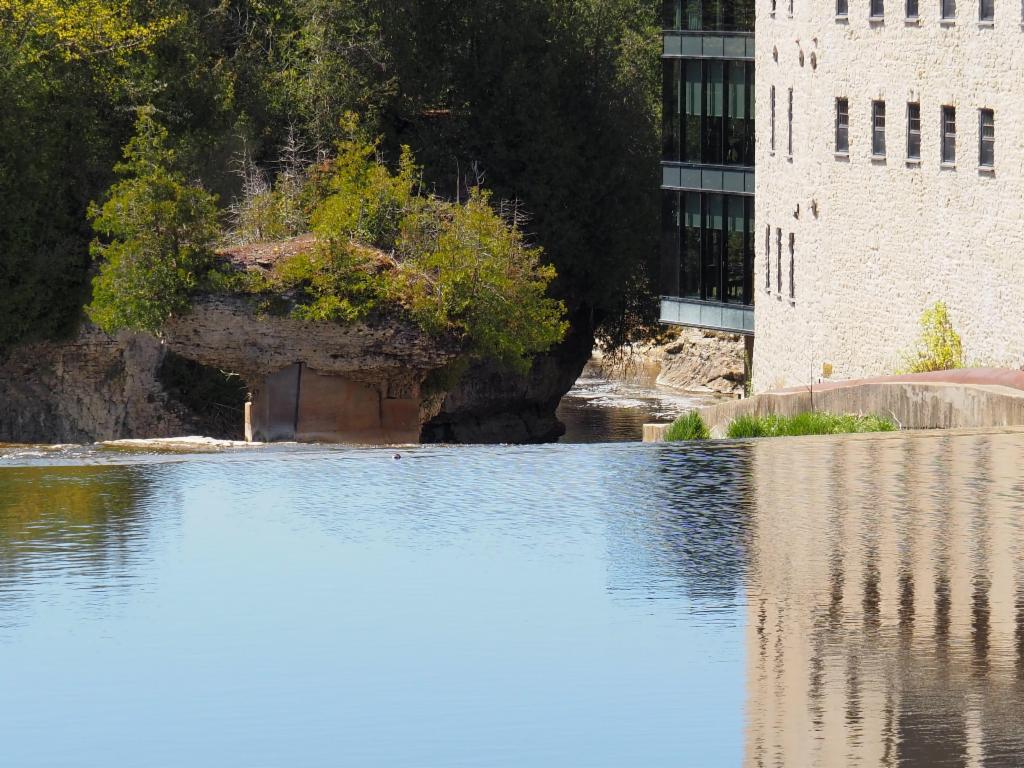
Tooth of Time from behind
Lover's Leap from Wellington Road Bridge
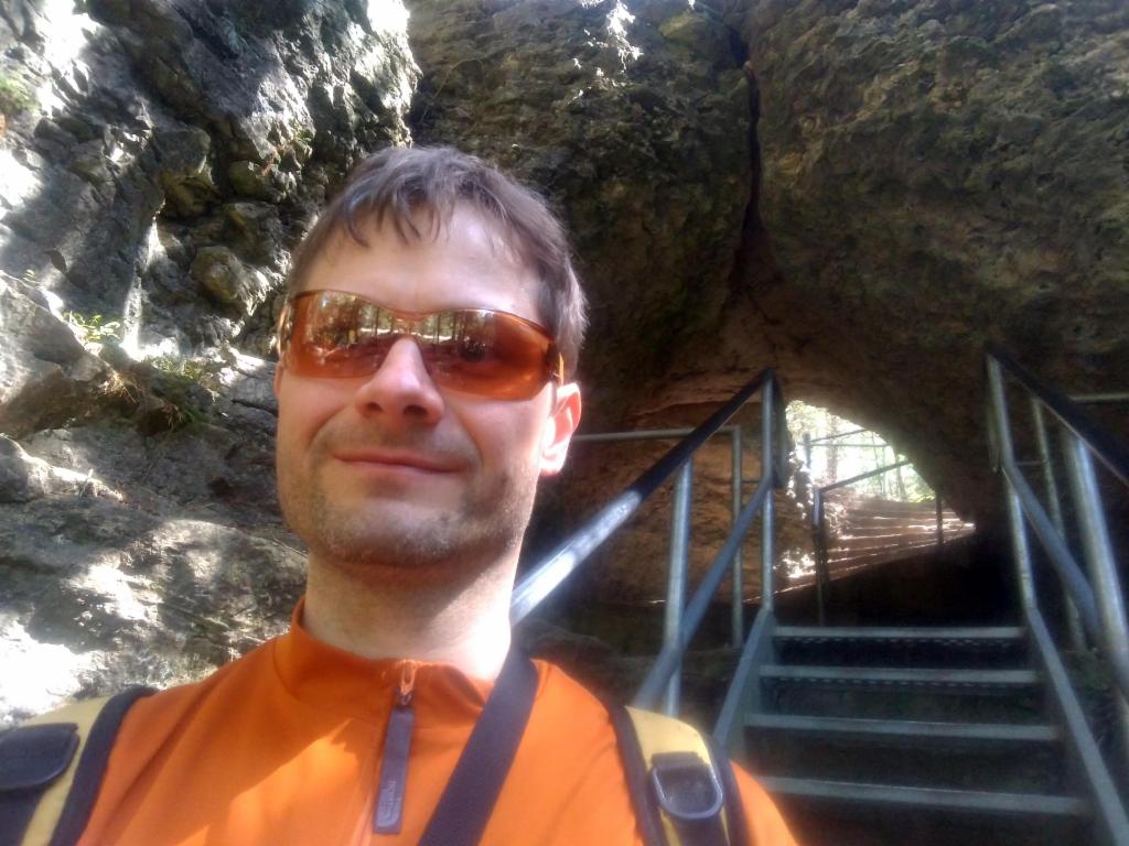
Hole in the Rock