
Albion Falls, Felker's Falls and Devil's Punchbowl
4. 5. 2025
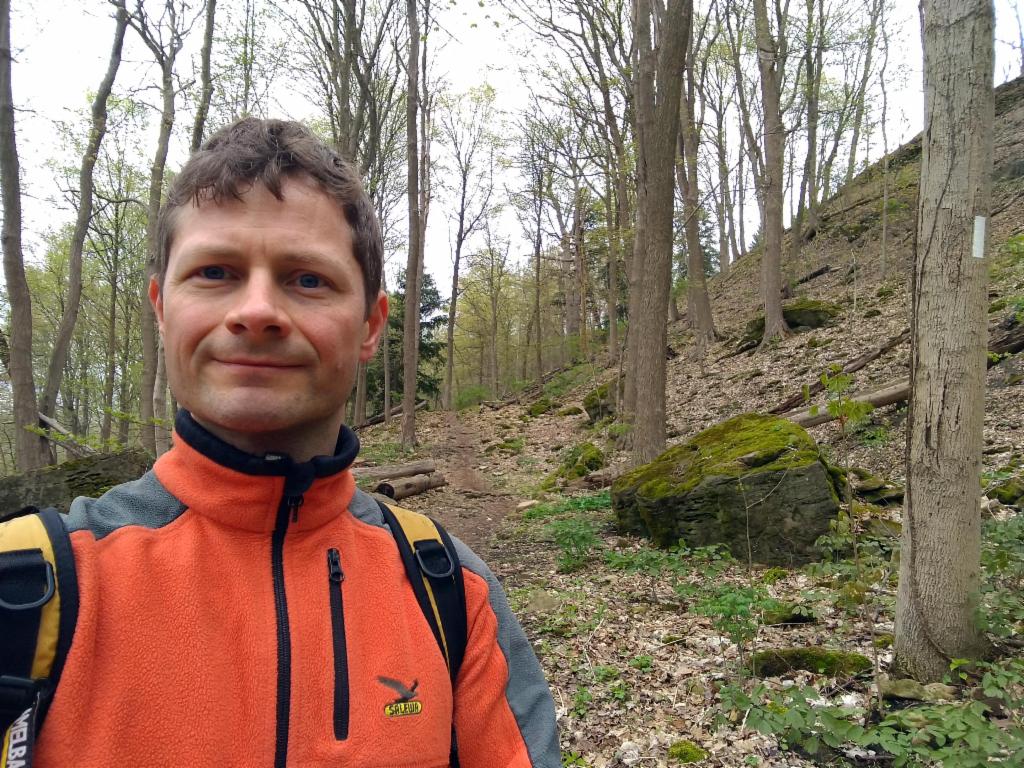
Peter Schrammel
Weather
overcast
Interest 
***: Section of the Bruce Trail in the middle of Hamilton, with at least three waterfalls
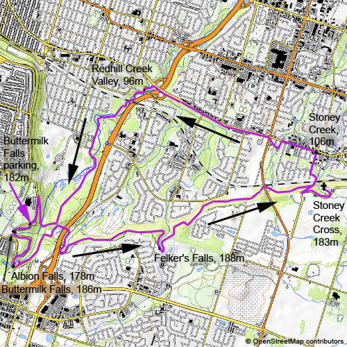
Route
Buttermilk Falls parking, 182m - Buttermilk Falls, 186m - Albion Falls, 178m - Felker's Falls, 188m - Stoney Creek Cross, 183m - Stoney Creek, 106m - Redhill Creek Valley, 96m - Buttermilk Falls parking
Elevation gain
350m
Distance
20km
Timing
3 5/6h (1/6 + 1/6 + 5/6 + 5/6 + 1/3 + 1/2 + 1)
Stamina
C: very long
Difficulty
0: some rocky terrain
Danger
2: never directly exposed, some steep forest sections; the cliffs near the waterfalls are fenced off
Visitor frequency
d: lots of dog walkers
Report
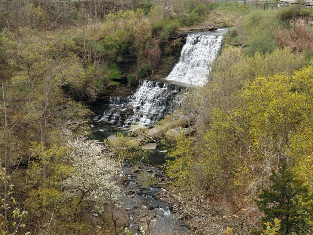
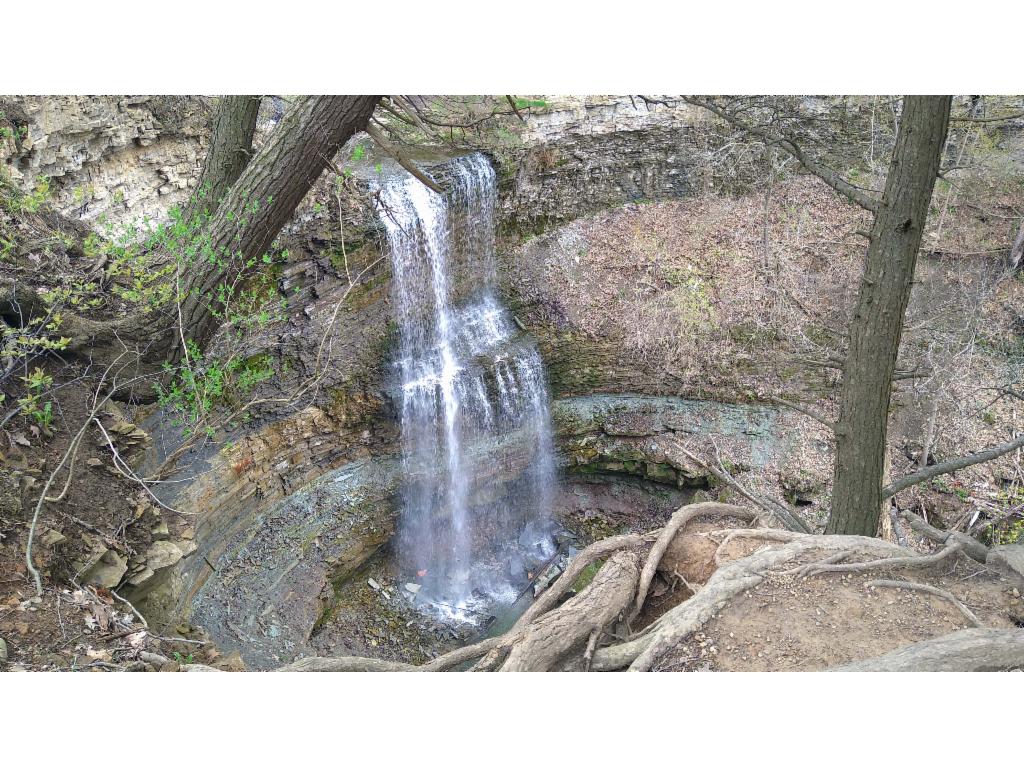
Rainy weather was announced for my second day in Ontario. So, I stayed in Hamilton and explored the waterfalls along the escarpment that cuts through the city. I drove up Sherman Access and parked near the Buttermilk Falls. The cliffs drop impressively into the gully there, but the falls were almost dry. So was the weather, still. I continued on the trail to the ramp-like Albion Falls, which are best seen from the indicated viewing point. The view from the Lover’s Leap opposite was quite overgrown and views are blocked by a fence unfortunately. I continued on the Redhill Trail past the Bear Meeting Place – fortunately without bears – to pass under the motorway and walk up the disused, steep Mount Albion Road. From there a beautiful trail follows a little unspectacular canyon until I rejoins a tarmacked cycle path. After a while the path turns right announcing the next gully with Felker’s Falls, carefully fenced off to a degree that they become invisible. A bit disappointed I walked around to the eastern side of the gully where the views of the quite impressive 20m waterfall are considerably better – despite the fence. I got a bit concerned about the extent of the circuit I had planned as I had already walked more than 6km and I had hardly done a third of the whole route. The weather was grey, but that wasn’t a problem because the path led through the woods along the escarpment with scarce views to the lower part of the city. In places the path got more rugged and I was glad to wear hiking boots. I had made fast progress in the meanwhile, passing under Centennial Parkway, thus there was no need to shorten the route. I continued uphill to Ridge Road in order to reach Devil’s Punchbowl. I was glad to finally get views of the lake and the skyline of Toronto on the opposite shore. Even the sun appeared briefly. When approaching the falls from above, I realised that the enormous construction on the cliff opposite was not a transmitter, but a cross. Some people tried to get views of the Upper Punchbowl Falls from the road, but they are only visible from the eastern side. So, I walked around the canyon towards the cross. The thinly layered cliffs and the waters falling like a fountain spout are most impressive from there. The platform at the cross offered my unobstructed views of Hamilton and the lake – just this was already worth the trip. I was roughly at the half-way point and the second half looked a lot more unpleasant. I had to hike back down and then walk across Stoney Creek to reach the lower end of Redhill Creek Valley. In the end it took me only 35min to walk all the way along King Street with a short detour through Battlefield Park. The trail through Redhill Valley was actually a broad gravel road, which takes unexpected turns and ups and downs in the beginning. It seems that the river was actually relocated in order to make space for the motorway. Compensating for the lack of wildlife on this tour so far, there were lots of birds chirping in the still leafless trees. Finally the path approached the Bear Meeting Place where I turned eastwards in the morning. Now, I hiked down to the river, crossed it and took a narrow trail to climb back up to the road returning to the parking. The weather has deteriorated in the meanwhile and I had to hurry to get into the car to avoid a shower.
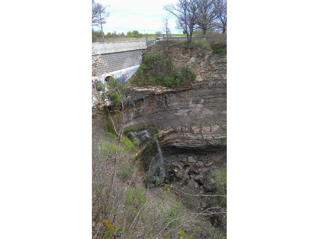
Buttermilk Falls - almost dry
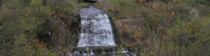
Albion Falls
Felker's Falls
Trail after Felker's Falls
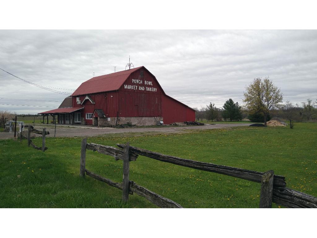
Punchbowl Market and Bakery
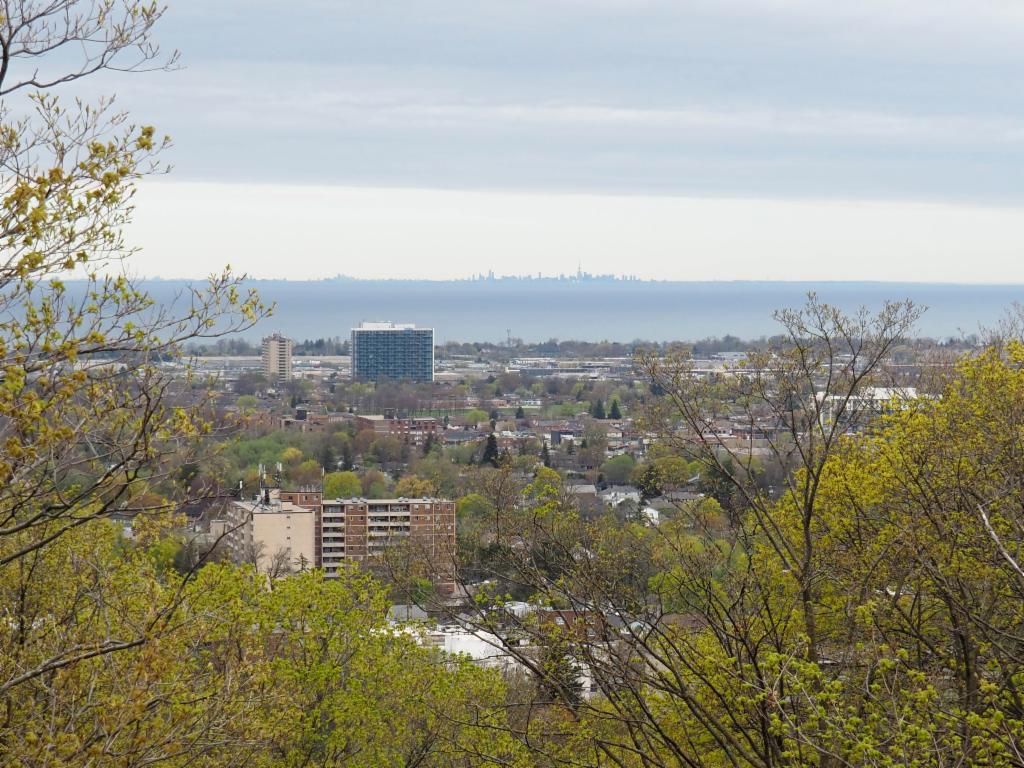
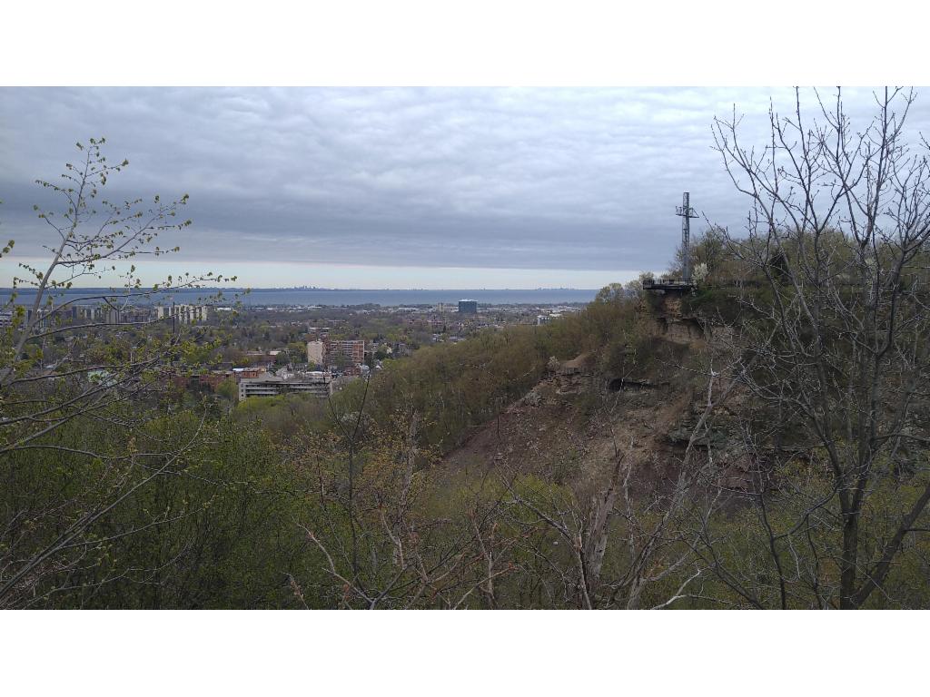
Lake Ontario and the skyline of Toronto
William Sinclair Memorial Cross above Stoney Creek
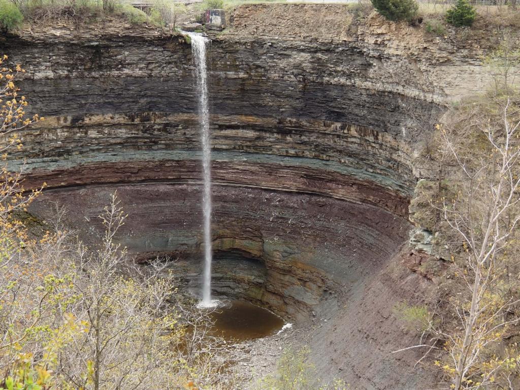
The Devil's Punchbowl
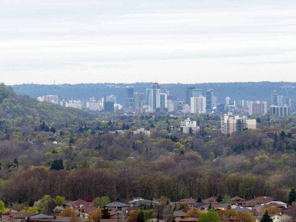
Hamilton from the cross
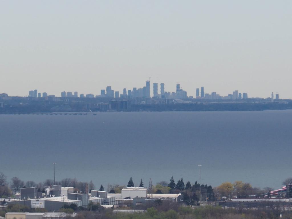
Skyline of Mississauga from the cross
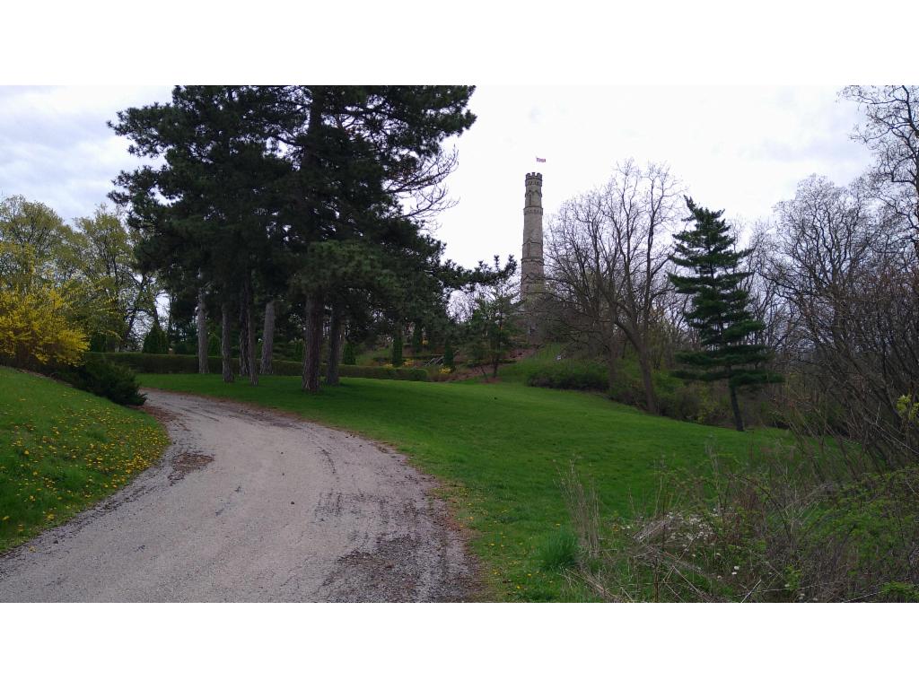
Tower in Battlefield Park
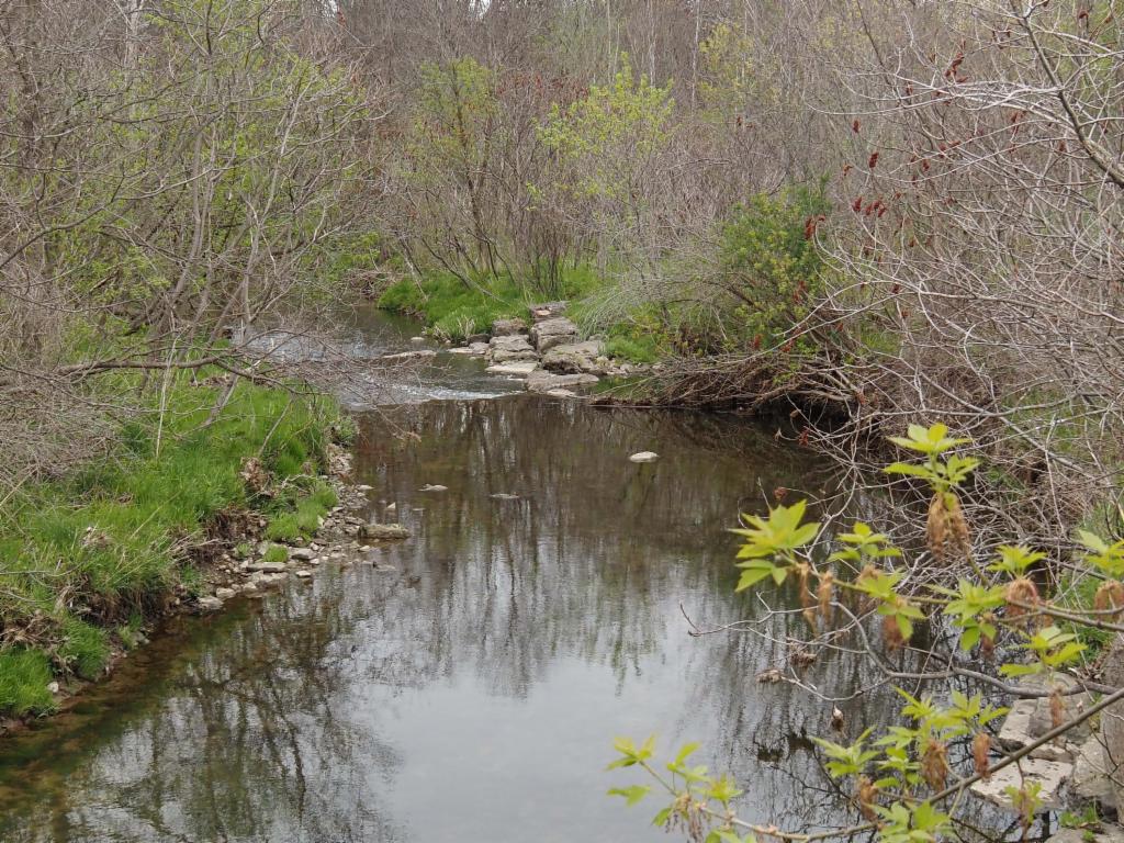
Redhill Creek
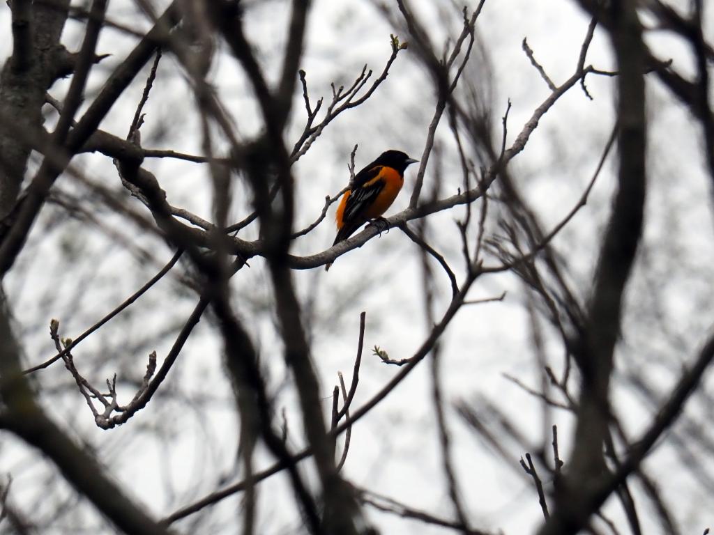
Baltimore Oriole