
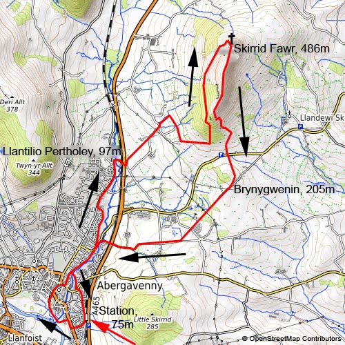
Skirrid Fawr
4. 5. 2024
Peter Schrammel
Weather
sunny
Interest 
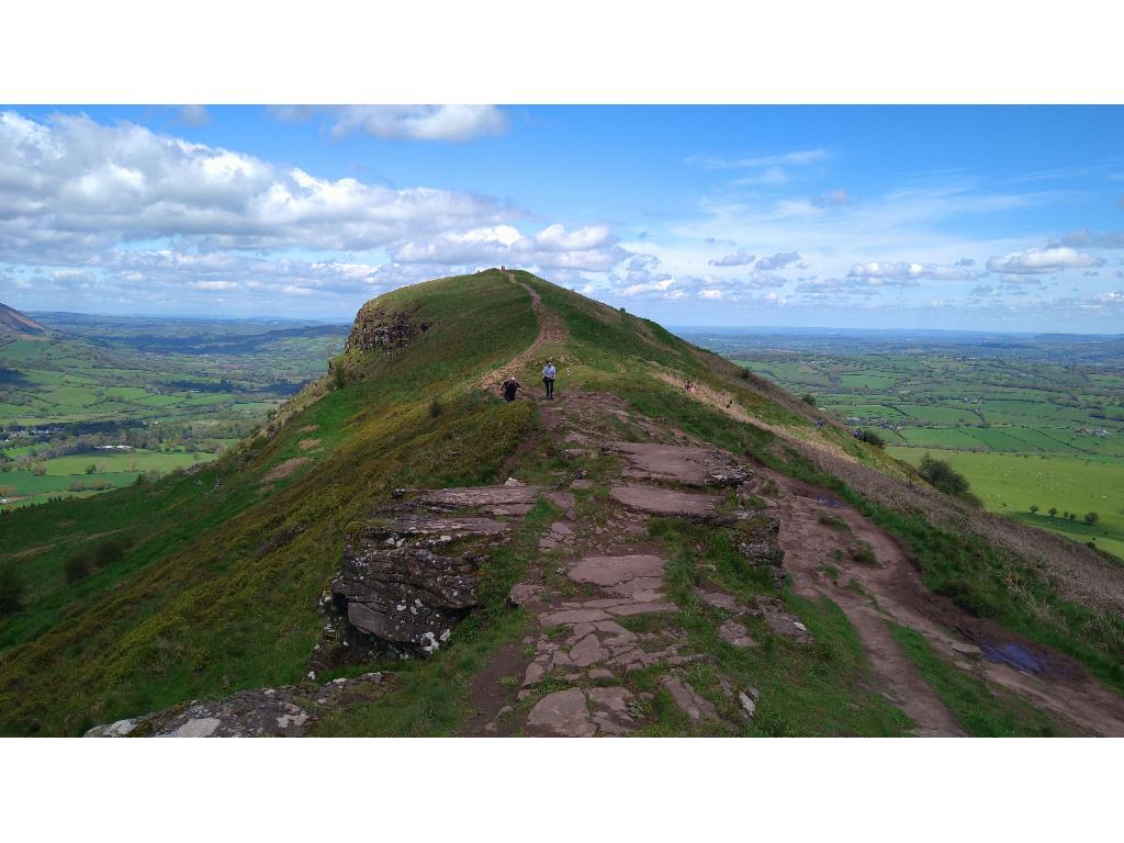
***: 360° panorama from a rocky eastern outpost of the Black Mountains
Route
Abergavenny station, 75m - Llantilio Pertholey, 97m - Skirrid Fawr, 486m - Bryngywenin, 205m - Abergavenny station
Elevation gain
524m
Distance
17km
Timing
3 1/2h (3/4 + 1 1/4 + 3/4 + 3/4)
Stamina
D: The approach is longer than the actual ascent.
Difficulty
0: The northwest ridge and the south ridge have both quite steep sections.
Danger
3: a short section towards the end of the northwest ridge 3, otherwise 2 due to paths being close to cliffs
Visitor frequency
d: on the main paths e, otherwise c
Comments
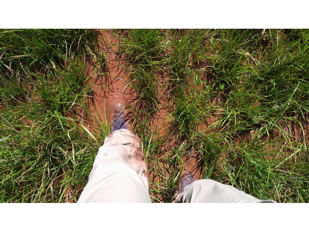
extremely muddy conditions
Report
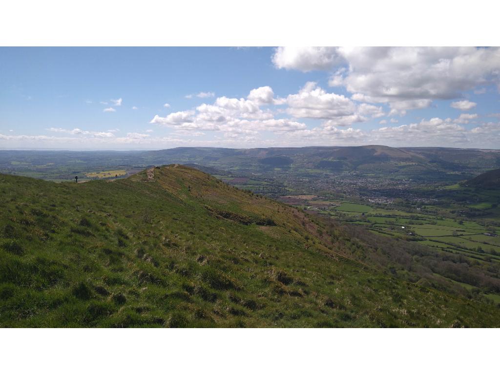
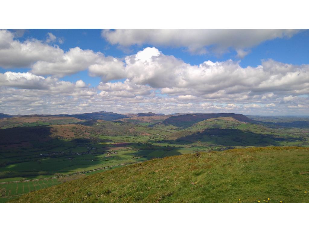
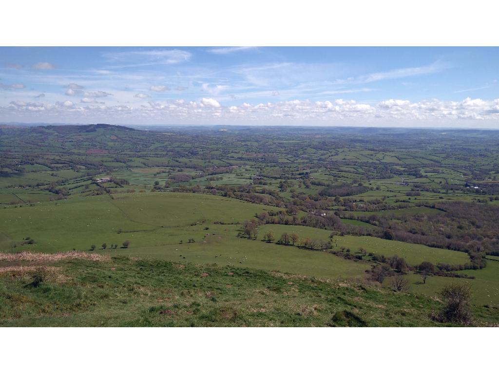
After several weeks of morose weather, there was finally a sunnier Saturday on this bank holiday weekend. I initially discovered Skirrid Fawr when Joel invited me to a flight from Oxford to Ebbw Vale. The distinctive rocky silhouette of this quite isolated little mountain fascinated me since then. I took the train at 7:31 via Reading and Newport to Abergavenny. With a slight delay due to an overcrowded two-carriage train, I left Abergavenny train station after 10am. I had a bit less than 5 hours to complete the route, which would fit quite tightly. I didn’t expect to have time to see the town centre on the way back, so I made a little detour via the castle park to the centre, a typical little British town, right away. Then I followed Ross Road taking the paths along the little canyon of Gafenni river. After St Teilo’s Church I passed under the railway and A465, and then took a footpath to the left, which is not in the map. This path led me across increasingly soaked pastures up to the farmer’s road. Then I continued on the path as indicated on the map. Near the gates the ground was incredibly muddy. Gradually, views opened across the valley to Sugarloaf mountain. After a final pasture devastated by horses, I joined the broad, steep main path, which was also quite muddy. There were lots of hikers with and without dogs. I wanted to take the more interesting steeper path along the northwestern ridge. Hence, I needed to go around the mountain along its western slopes. This path leads up and down through seemingly pristine woods, but was again very muddy. Suddenly, I had a view to the impressive cliff of the mountain’s west face. From a little saddle I took a faint path to reach the ridge. I quickly climbed the steep stair-like path behind the edge of the ridge to the near summit. It was just after 12pm. The summit was quite busy and the weather was good, just a few clouds. I had nice views across endless small-sized pastures in the valleys. The Malvern Hills were visible at the northeastern horizon, the Cotswolds in the east, the Bristol Channel in the south and the near Brecon Beacons and Black Mountains in the west. it was quite windy: whereas I could walk in t-shirt in the valley, now I had to put on a pullover, a jacket and a hat. I had lunch enjoying the views. At 1pm, I followed the broad ridge southwards with nice views back into the west face. Lots of people were still arriving. The path was getting steeper and muddier again further down. Some people were carrying their dogs so that they wouldn’t get too dirty. I wanted to avoid the B4521; so I took the path down and across a little hill to Bryngwenin. These sections were insanely slippery and muddy and again. The further plan was to cross the golf course and then maybe I could reach the paths around Little Skirrid which would lead directly down to the station. But it turned out that it was not possible to cross Tredilion Park. So I had to walk down to Ross Road again. However, now I crossed the footbridge over Afon Gafenni and walked through residential areas back to the station, where I arrived at 2.30pm. The train was delayed, but I reached all connections back to Oxford because they were all delayed too.
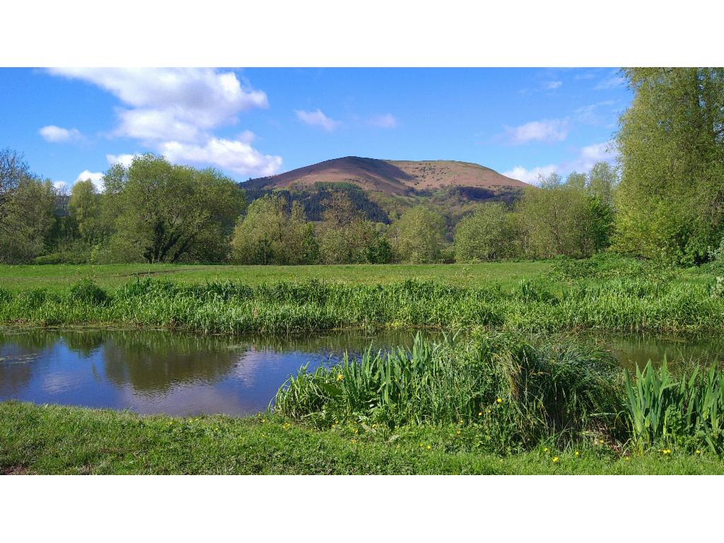
The Blorenge from the castle park
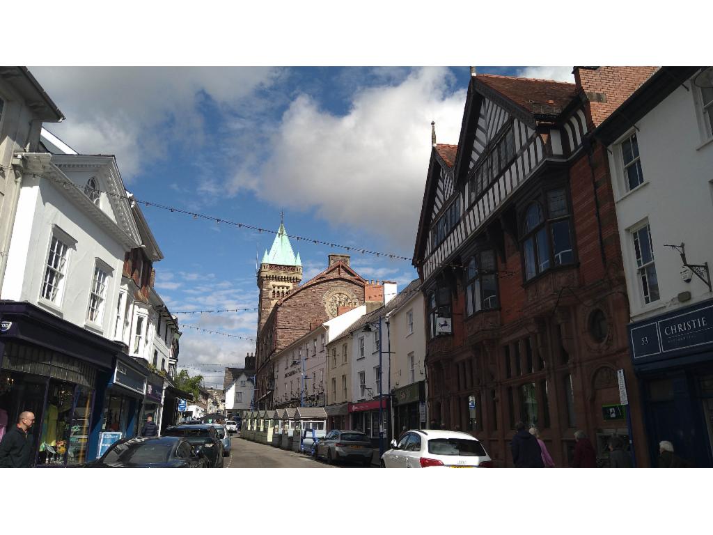
Cross Street
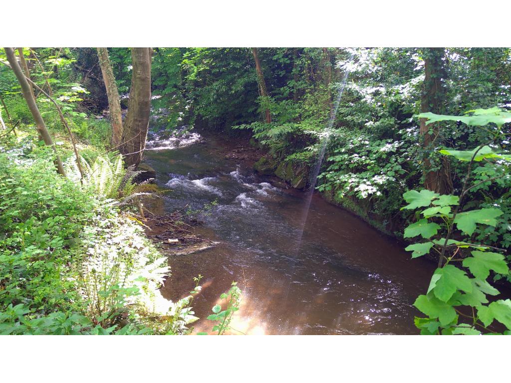
Afon Gafenni
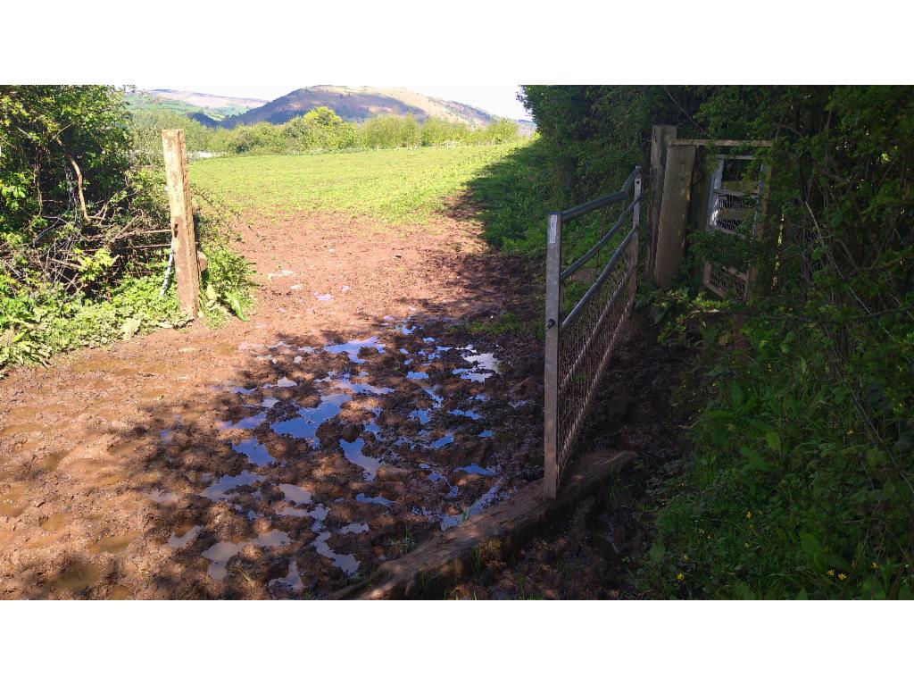
Deep mud
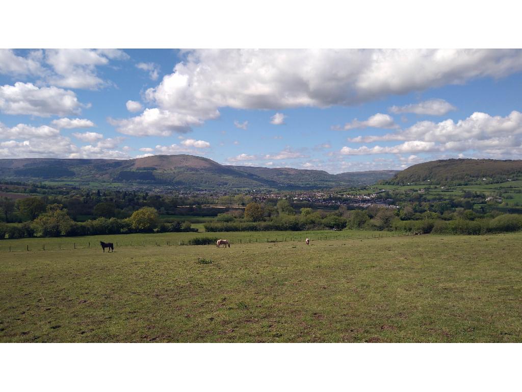
Pastures east of Abergavenny
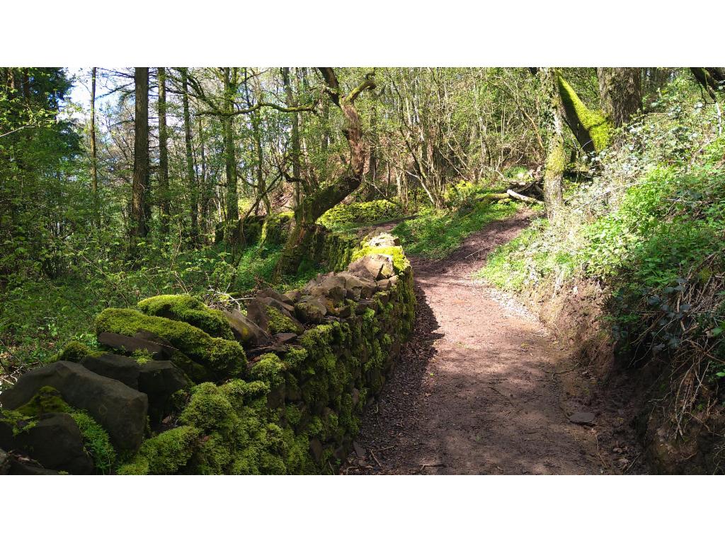
Beginning of the path along the western slopes
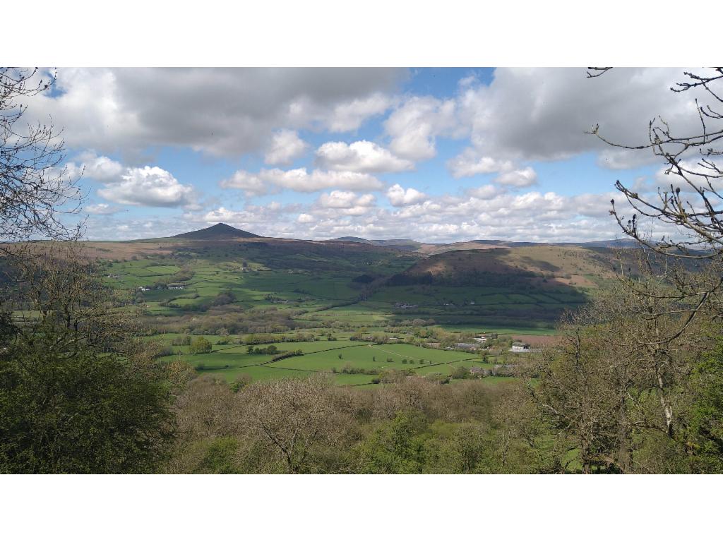
Sugarloaf
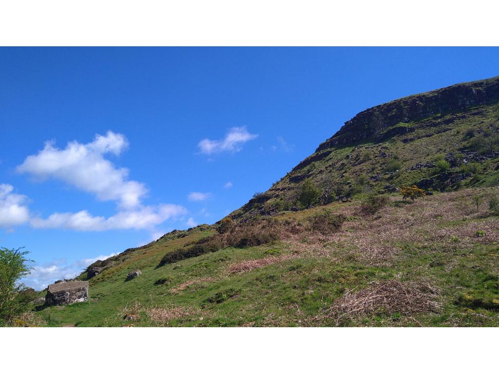
Approaching the rocky west face
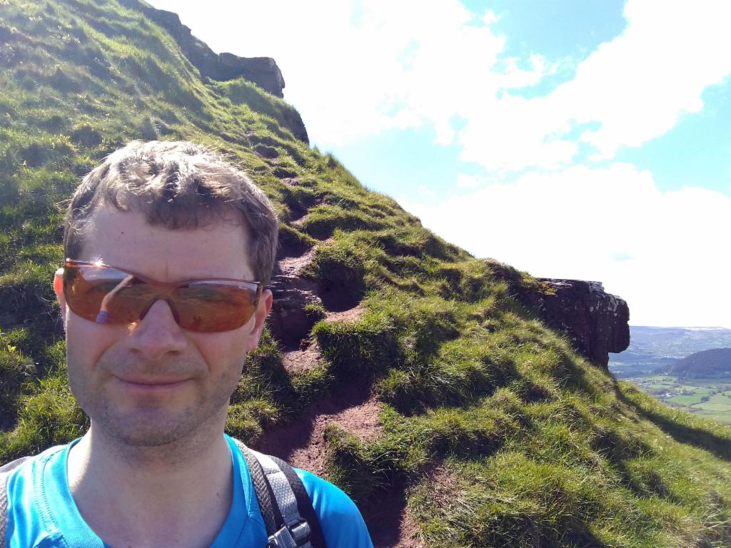
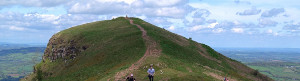
On the northwest ridge
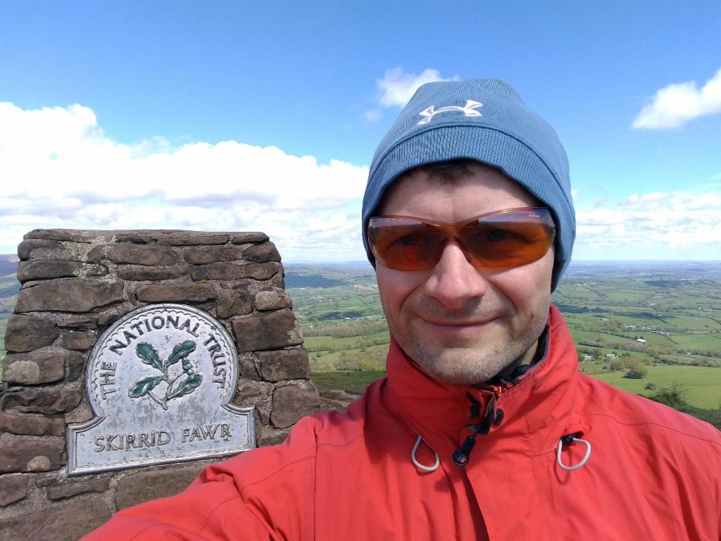
On the summit
South ridge, Abergavenny and Brecon Beacons
Black Mountains
View towards the northeast: Graig Syfyrddin on the left
View back to the summit from the south ridge
Slightly flooded meadow