
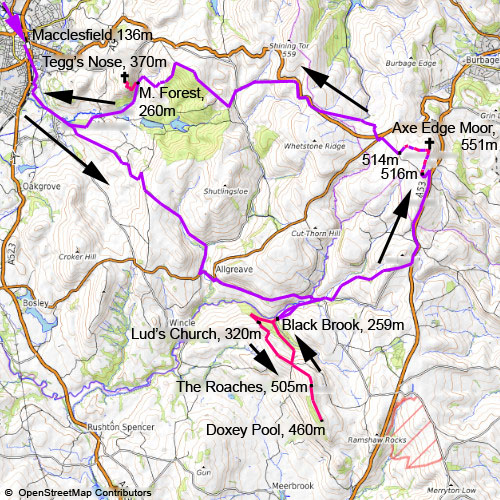
The Roaches, Axe Edge Moor and Tegg's Nose
25. 5. 2024
Peter Schrammel
Weather
sunny, overcast, sunny
Interest 
****: Bike'n'hike across green-sloped and boulder-topped Peak District hills
Route
Macclesfield station, 136m - Gradbach Mill, Black Brook, 259m - Lud's Church, 320m - The Roaches, 505m - Doxey Pool, 460m - The Roaches - Black Brook - Axe Edge Moor Road, 516m - Axe Edge Moor, 551m - 514m - Macclesfield Forest, 260m - Tegg's Nose south summit, 370m - Macclesfield Forest - Macclesfield station
Elevation gain
1574m
Distance
51km (bicycle: 40; hiking: 11)
Timing
6 2/3h (1 1/3 + 1/3 + 3/4 + 1/3 + 1/3 + 1/2 + 1 + 1/6 + 1/6 + 1 + 1/4 + 1/6 + 1/3) (cycling: 3 2/3; hiking: 3)
Stamina
G
Difficulty
+++, 0: long steep descent from Ridge Hill via Nabs Road to Allgreave; Lud's Church and the Roaches some steps 0; 500m on Back Oth Cross before arriving in Flash >20%; Axe Edge Moor mostly too boggy to be ridable; 1km of Old Charity Lane from St. Stephen's Chapel to the top of Macclesfield Forest ridable with a mountainbike only +++; downhill to Hacked Way Lane intersection ++; lower part of Hacked Way Lane very rough gravel not suitable for slick tyres ++; Tegg's Nose partially very steep 0; finer gravel, a few stair steps (by-pass on the side) and a ford to Tegg's Nose Reservoir ++
Danger
2: The cliffs are never directly next to the path. Take care at the belvedere below Lud's church, at the exit of Lud's church, the cliffs along the Roaches ridge and Tegg's Nose.
Visitor frequency
d: very busy, but not peak season yet on the Roaches e; Axe Edge Moor b; Tegg's Nose c; otherwise car traffic d
Report
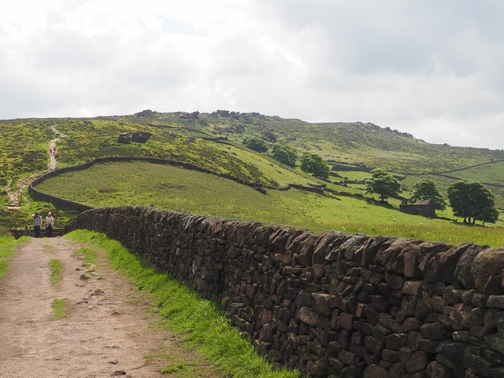
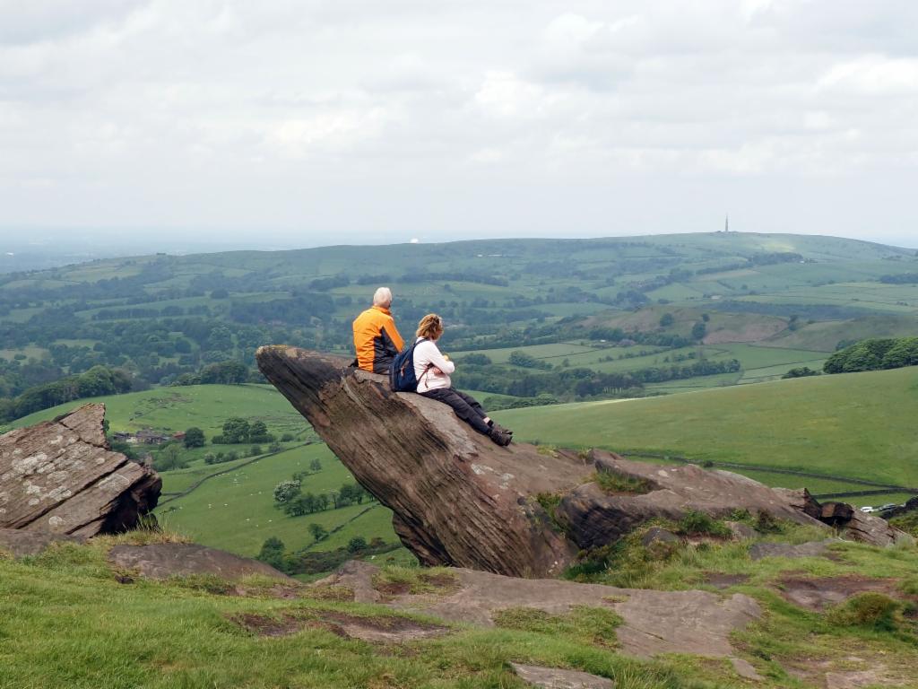
I had several attempts over the years to get on a train with my bicycle to have a ride in the Peak District. However, it always failed because I couldn’t get a cycle reservation. This bank holiday weekend the weather forecast was not very good, until I took another look on Friday when it suddenly seemed sunny Saturday morning at least... and I got a bicycle spot on the train. I left Oxford at 6.39am with a direct train to Macclesfield where I arrived shortly after 9am. It was indeed sunny, as promised, when I followed the road along River Bollin and further up the Ridge Road. From there I had a view from Sutton Common radio tower over the Jodrell Bank Observatory in the west to Tegg’s Nose in the north. A cyclist overtook me and alerted me that my rear tyre seemed quite flat – and indeed it wasn’t really pumped up well; strange, since I had just pumped it up the day before. After Hanging Gate Inn I took Nabs Road which passes over the ridge and dives into a valley towards the A54 at Allgreaves. Nabs Road is quite steep and my brakes were creaking alarmingly – so, I rolled down quite cautiously. After a short 20% uphill section on the A54 I turned right towards Gradbach Mill. Ridges with weird rocks became visible on the opposite side of Dane valley. After a short steep climb to Burntcliff Top I rode down crossing a stone arch bridge over River Dane and turned into Gradbach Mill Lane after another short climb. The farmers had transformed their fields into parking lots in order to accommodate several hundred cars of people who want to visit Lud’s Church and the Roaches. I followed the road past the Scout camp and then pushed my bicycle down an eroded bridle way to Black Brook. There I chained my bicycle against a tree and continued on foot at 10.30am. I followed the signs to Lud’s Church. After a few minutes I reached a rocky belvedere which promised views down to River Dane, but the surrounding trees were too high. I continued uphill in the opposite direction to the entrance of Lud’s Church, a chasm in the gritstone rocks. A few steps downstairs led to the bottom of the canyon whose vertical walls were covered with thick green moss. The sun was shining right through the cleft accentuating the contrasts. Towards the upper end the chasm divides into two branches. I picked the left one which seemed more interesting as it gets narrower and narrower towards the exit. After having joined the path that came from the other branch, I climbed up to the ridge of the mountain and followed it to Roach End where again lots of cars were lining the edges of the narrow road. The path on the north ridge of the Roaches is mostly paved to prevent erosion. Below the summit there is a group of otherworldly looking boulders inviting hikers to climb, pose and rest. The summit itself is less spectacular. My original plan was to follow the ridge to Hen Cloud, but that would probably take too long. I should make it to Doxey Pool half-way down the south ridge, though. This side of the mountain seemed even busier: groups of dozens of hikers were striving for the summit on this rugged path. From Doxey Pool, a small pond, I had a nice view down to Tittesworth Reservoir and the remaining ridge down to Hen Cloud. The sky was overcast now and the teeth of the Ramshaw Rocks across the shallow valley looked quite threatening. I walked the path back up to the summit where I had my lunch break after noon a bit off the ridge in the shadow of the wind. At 12.30pm I continued down the direct path from Roach End to the Black Brook bridge. Some hikers were wondering about my bicycle which looked a bit misplaced in that landscape. I followed the direct bridle way to Gradbach Mill and then tackled the long ascent to Flash. It was sunnier again and the pastures on the hillsides were shining in bright green. The last 500m before Flash felt clearly beyond 20%. In order to reach my next goal, Axe Edge Moor, I had to follow the A53 road, which goes straight over hills and valleys as the Romans had built it. Fortunately, I made fast progress and the traffic was not too bad. The path to the summit was too boggy to be ridable, so I pushed my bicycle, while soaking my shoes. I reached the summit after 2pm. The views were quite gloomy as it was overcast and windy again. I didn’t stop for long and continued across the moor towards the north, even boggier than on the other path. From the distance I saw some dog walkers, otherwise it was bleak and deserted. Finally, I reached a dry track that I could ride back to the road. In order to avoid riding too long on the A537 I took the narrow road that goes down and back up a bit in the Goyt valley. Surprisingly the creaking of my brakes had disappeared now and I could ride more confidently. On the way up I was suddenly overtaken by a police car, maybe on a mission to pull over speeding motorcyclists. In the meanwhile the sun was back again. After a few turns on A537 I had a speedy descent into Clough Brook Valley and a climb up to Forest Chapel. According to my plan I should now continue straight on Charity Lane and then ride down Hacked Way Lane. However, I didn’t look on the map well enough: Charity Lane is a rough bridle way, mostly transformed into a river bed – impossible to ride with my tyres. Since riding down Clarke Lane wouldn’t get me to the starting point for hiking Tegg’s Nose, I had to bite the bullet and pushed my bicycle up the hill. Only when it got flatter towards the top I could start pedalling again. I passed a group of mountainbikers who had the right kind of gear for that path. For the downhill I switched to the grassy path next to the bridle way, which was better suited for my tyres. Hacked Way Land was tarmacked, but only the upper part; the lower part was very coarse gravel – thus I had to push again because I didn’t want to risk a flat tyre since I hadn’t much time left to finish my circuit. At 3.30pm I attached my bicycle to a tree and quickly hiked up to the south summit of Tegg’s Nose which offered nice views down to Macclesfield and across the reservoirs surrounded by Macclesfield Forest. At 4pm I was already sitting on my bike again. At the end of the bridle way a few steps led down to a ford which I passed via the stepping stones. Then I continued along Teggsnose reservoir to Langley and back to Macclesfield station where I arrived at 4.20pm. Of course, my train was late; so, I had enough to time to enjoy some ice cream.
View from Ridge Road towards Jodrell Bank Observatory in the west
Descent on Nabs Road towards Allgreave
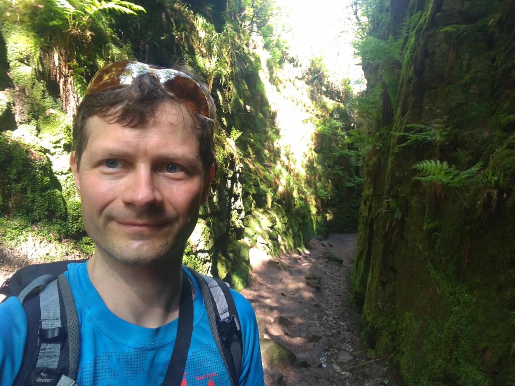
In Lud's Church
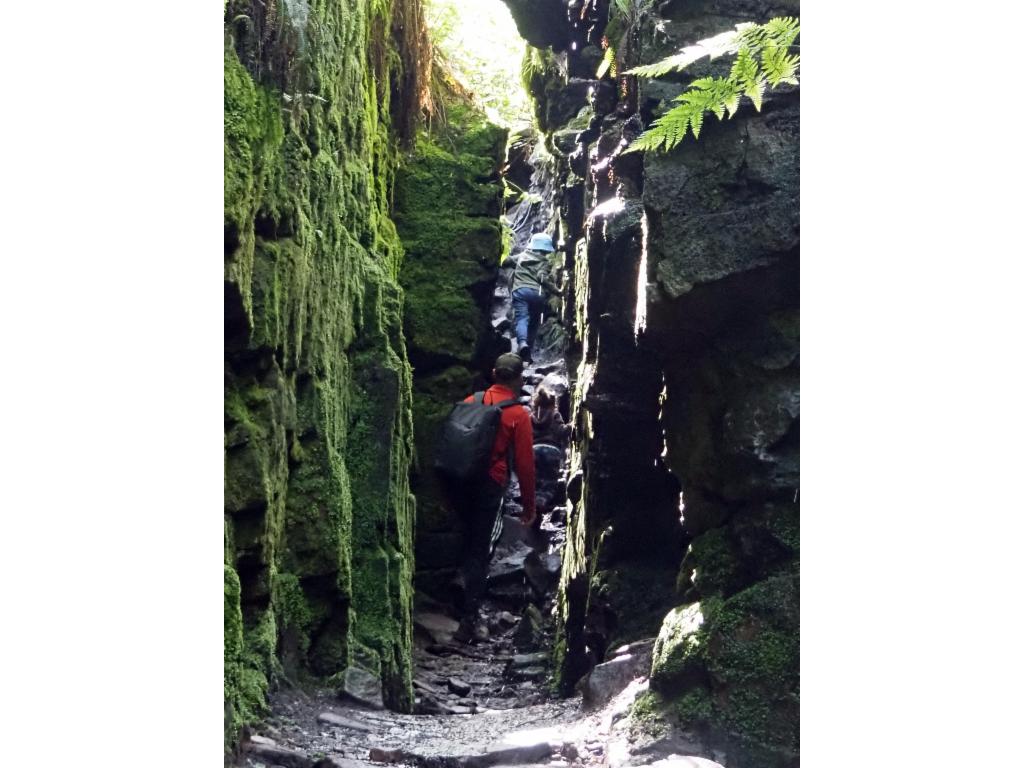
Lud's Church
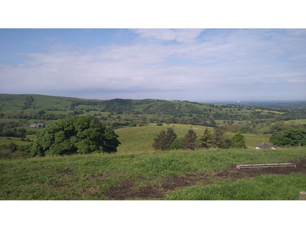
View from the ridge towards Sutton Common radio tower in the northwest
View from the ridge to Shutlingsloe and Burntcliff Top in the north
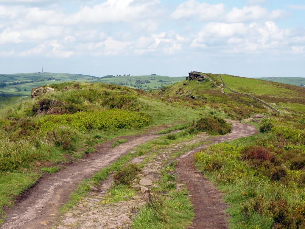
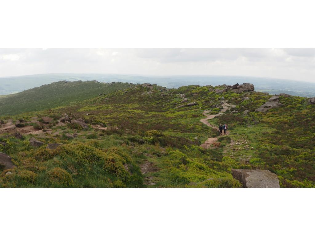
The Roaches from Roach End
Hikers resting on a rock on the north ridge
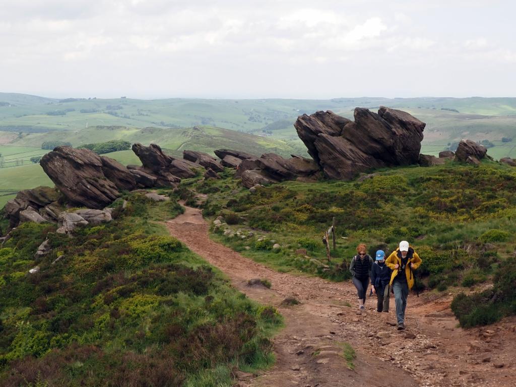
Rocks on the north ridge
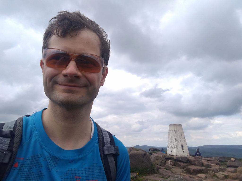
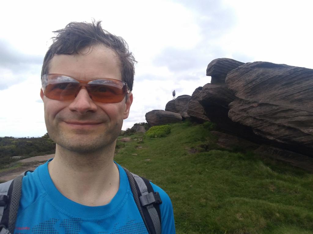
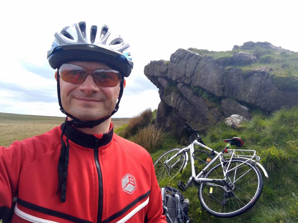
On the summit
Southridge from the summit
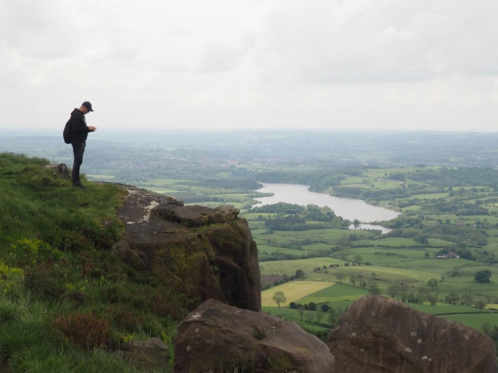
Tittesworth Reservoir
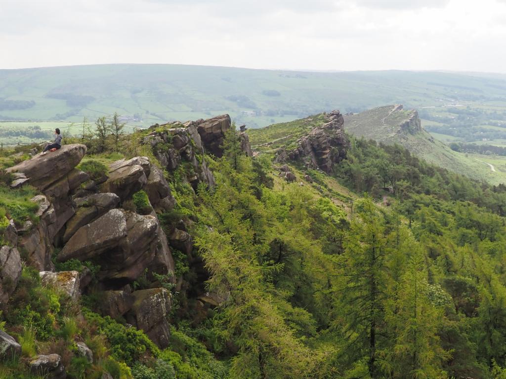
South ridge from Doxey Pool towards Hen Cloud
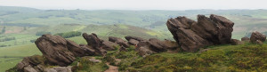
Boulders on the south ridge
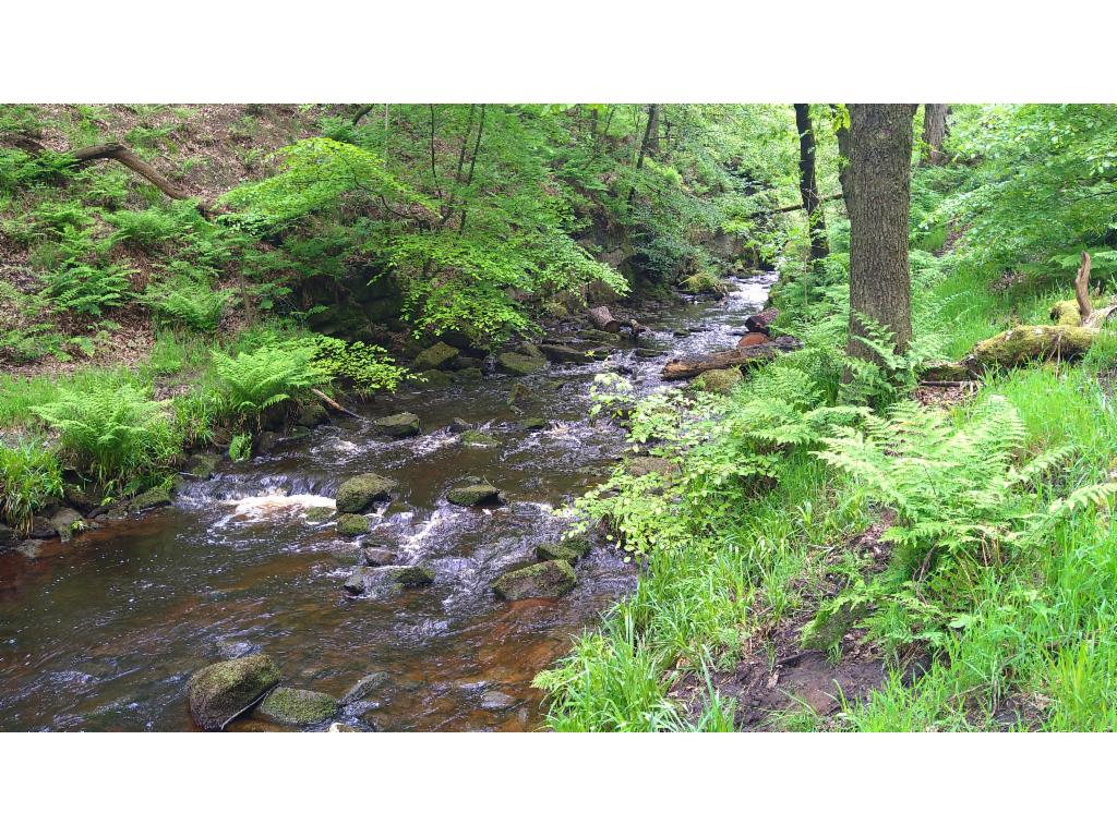
Black Brook before its confluence with River Dane west of Gradbach Mill
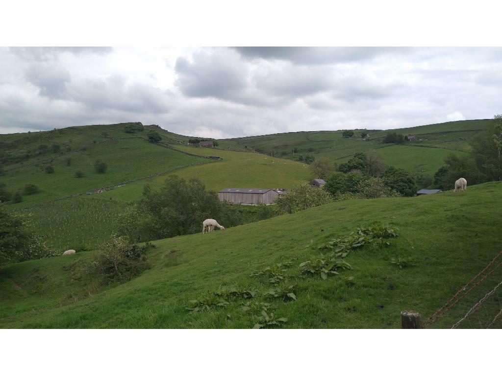
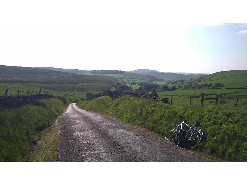
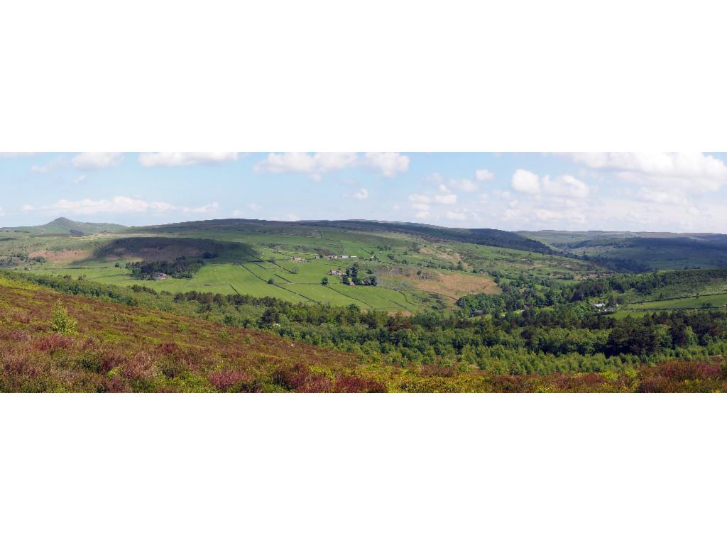
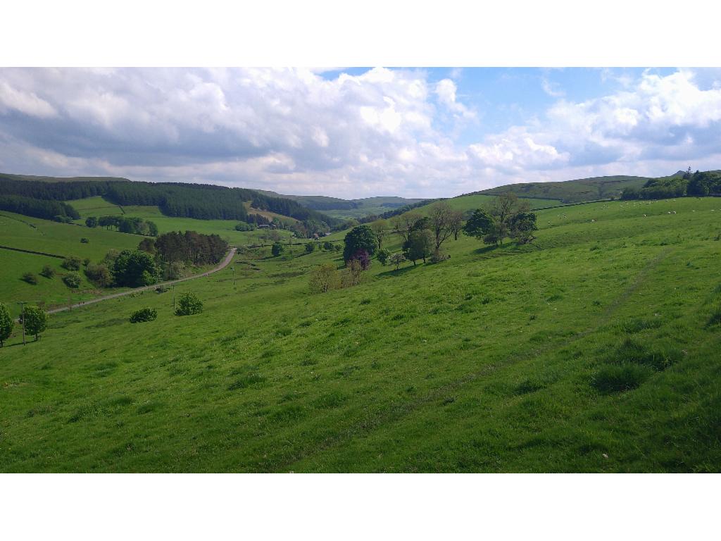
Pastures from Back Oth Cross towards Oliver Hill
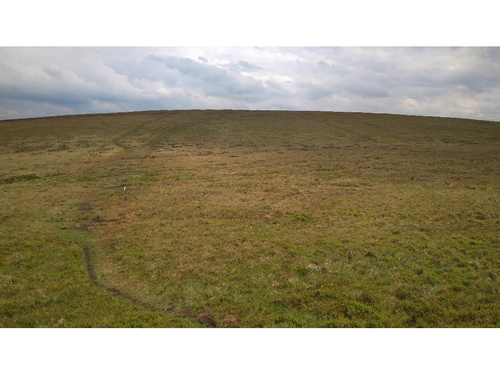
Axe Edge Moor
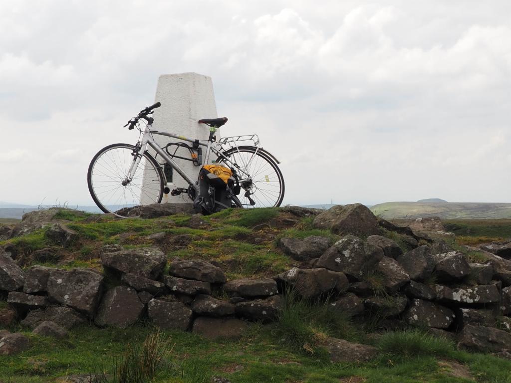
On the summit of Axe Edge Moor
Rocks north of Axe Edge Moor summit
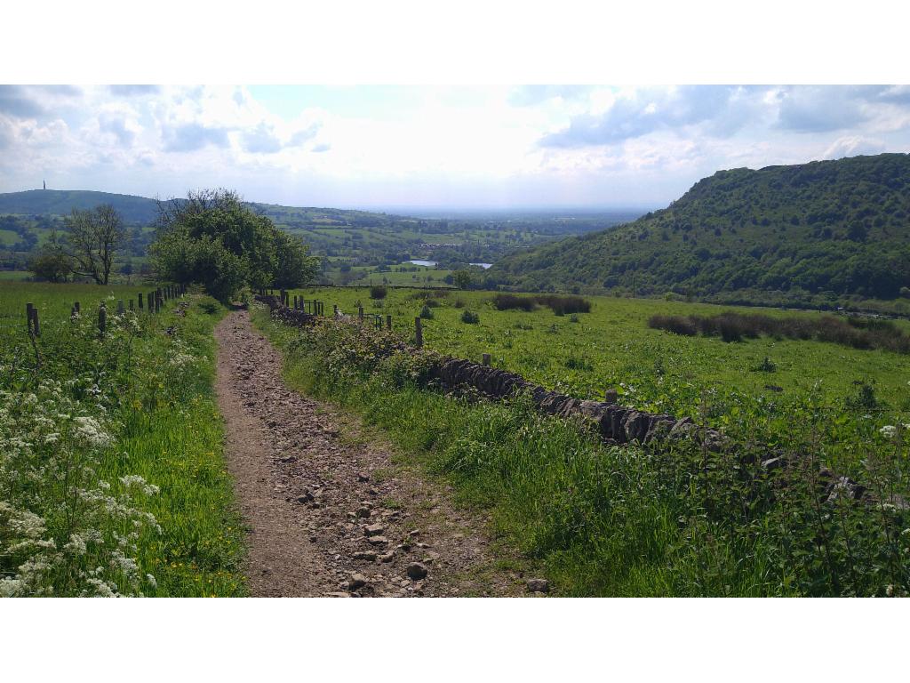
Clough Brook Valley from the ascent to Forest Chapel
Lower part of Hacked Way Lane; Sutton Common on the left and Tegg's Nose on the right
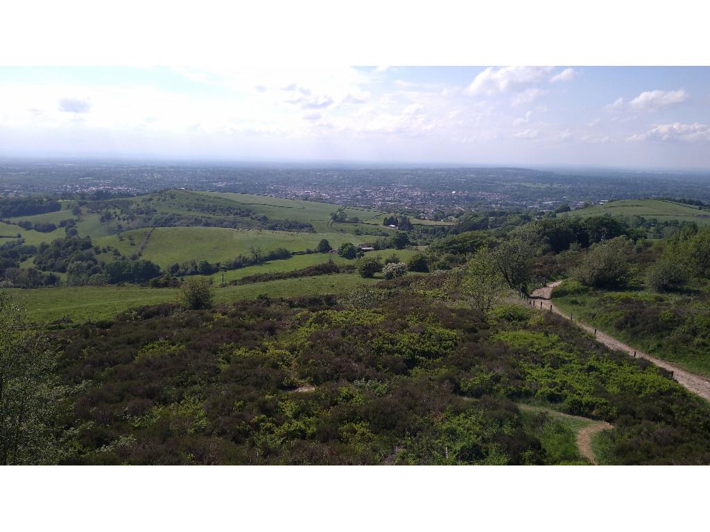
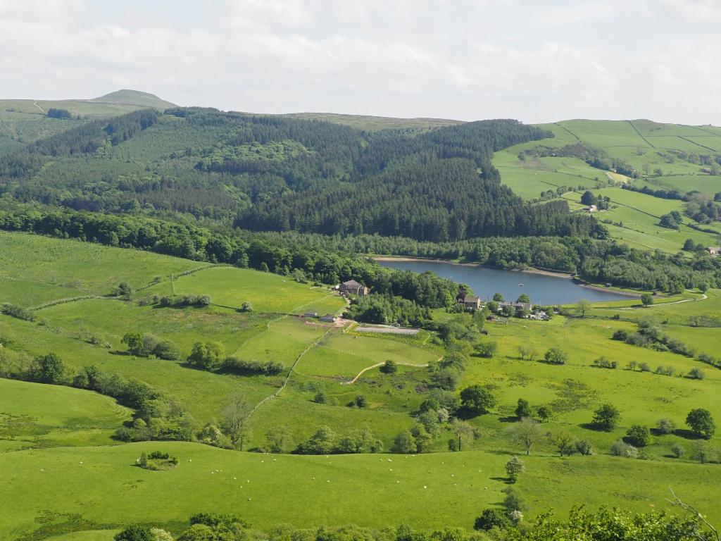
Macclesfield from Tegg's Nose
Ridgegate Reservoir from Tegg's Nose