
Mission Peak
17. 11. 2023
Jane Walls, Peter Schrammel
Weather
first sun, then rain
Interest 
***: Popular view point over the southern bay area
Route
Fremont, Stanford Avenue Parking, 109m - Mission Peak, 768m - Stanford Avenue Parking
Elevation gain
689m
Distance
11km
Timing
2 1/2h (1 1/4 + 1 1/4)
Stamina
C
Difficulty
0
Danger
2: summit area
Visitor frequency
d
Report
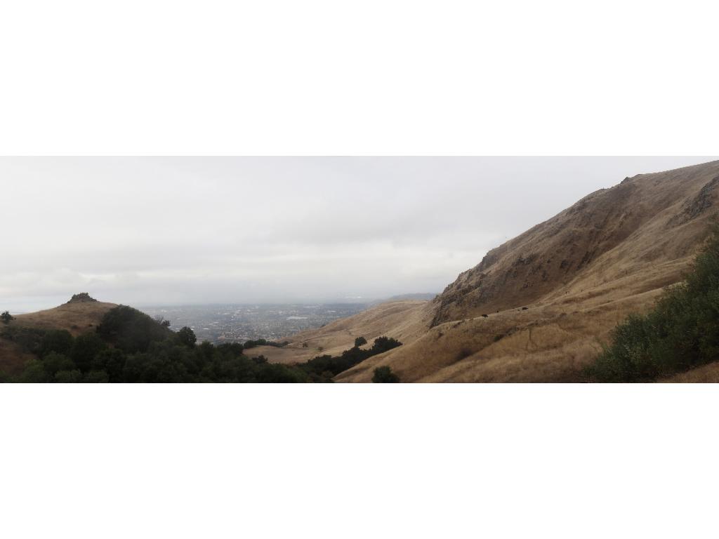
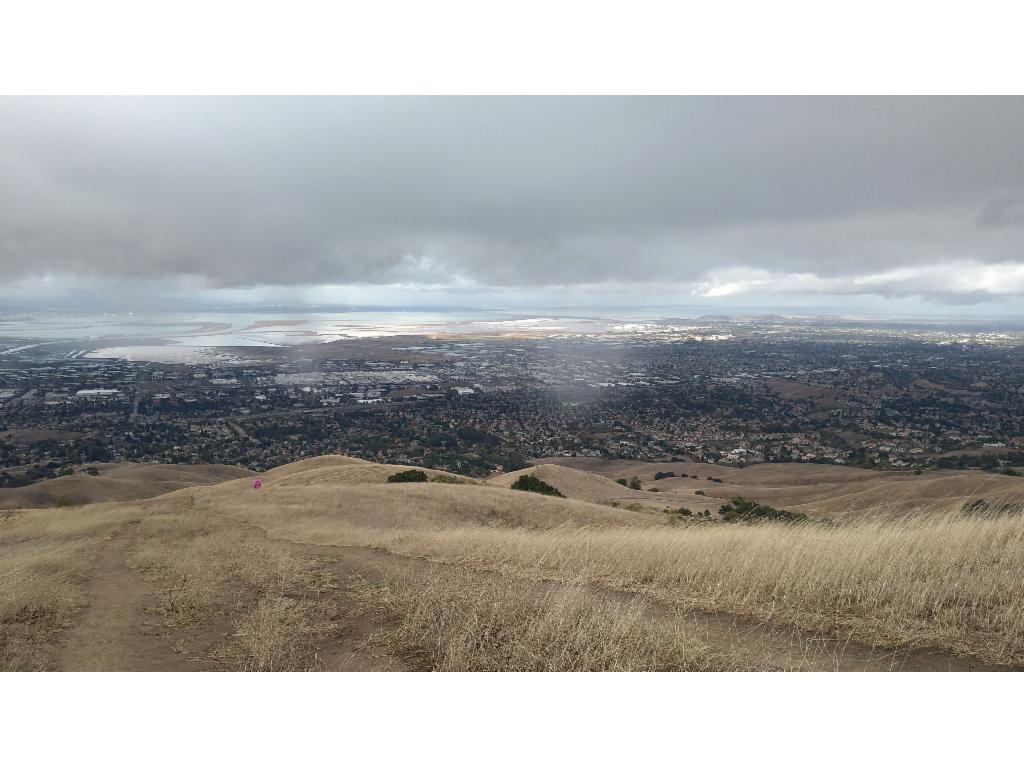
While on a business trip, we had a free day before taking the plane back. So, we rented a car to explore the area. The plan was to hike up to Mission Peak in the morning and then continue to Santa Cruz. The weather forecast was terrible and it seemed right. The satnav was already set to Santa Cruz as there was suddenly sunshine. So, we instantly changed plans and drove to the parking at the end of Stanford Avenue in Fremont. The parking was full and other cars were arriving and leaving. Since none of them parked illegally although there was plenty of space beyond the marked parking spaces, we followed the other cars to discover where they found an alternative parking further down. It was towards 9am when we hiked up the broad, muddy, winding road that led through pastures upwards. The view over the bay became more and more impressive as we gained altitude. There were lots of hikers and trailrunners, most probably locals that were out for a morning stroll. Towards 10am we reached the flat shoulder that gave us access to the northeastern slopes of the mountain from where a broad eroded and increasingly craggy path led us to the top. It was incredibly windy on the summit with its odd summit pole so that we had to put on all our clothes including hats, hoods and gloves. The view extended from the bay over the grassy hills towards Livermore and Lake del Valle and the slightly higher mountains in the southeast to the Santa Cruz Mountains in the southwest. Dark clouds were approaching from there so that we didn‘t stop for long, but continued downwards via the southeastern ridge. While descending into the ravine of the Agua Caliente Creek, we had nice view to the slightly craggy western face of Mission Peak, which gives it its attractive appearance when seen from the bay. We followed the Horse Heaven Trail which is a bit more interesting than the road that we used for the ascent. Unfortunately, the clouds arrived a bit too fast and so we couldn‘t escape the rain. The mud clogged on our soles when hiking down the road in the lower part. Before arriving at the parking we had to cross a herd of cows. The mother cows slowly guided their calves away from the path as we edged our way forward. We cleaned our boots and continued towards Santa Cruz towards 11.30am.
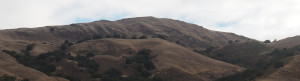
Mission Peak from the parking
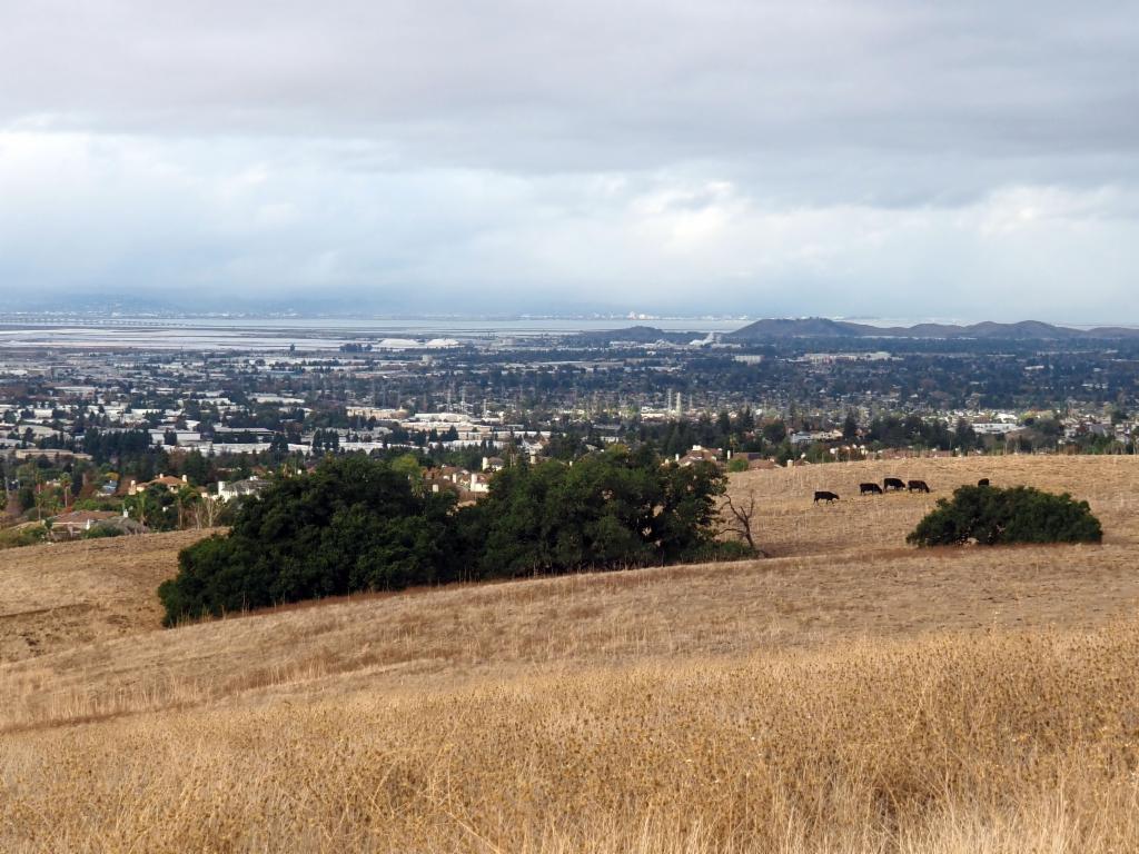
Bay and cattle
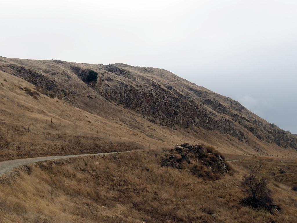
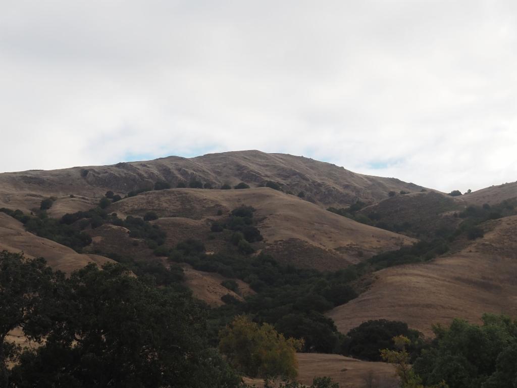
Mission Peak west face from the Hidden Valley Trail
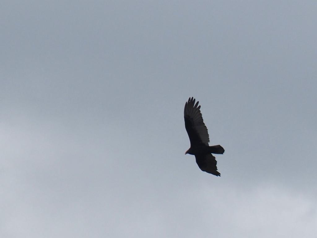
Bird of prey
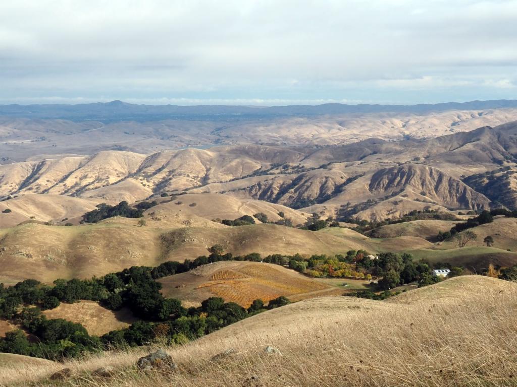
View from the shoulder towards San Antonio Reservoir
Summit ridge
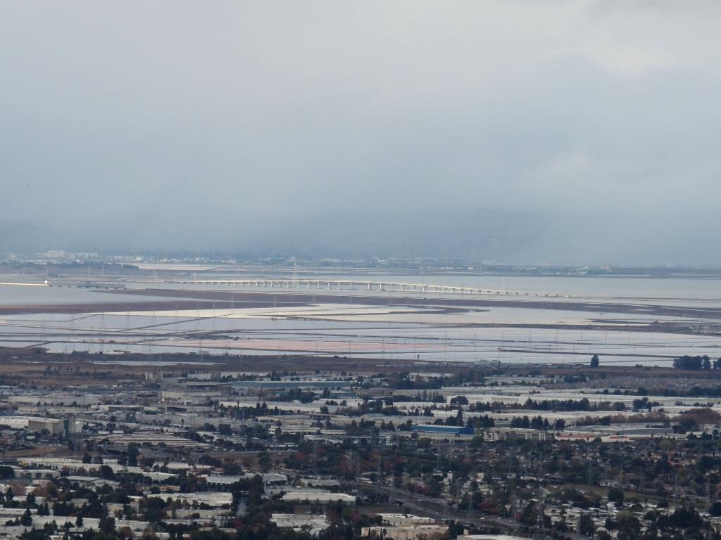
Dumbarton Bridge
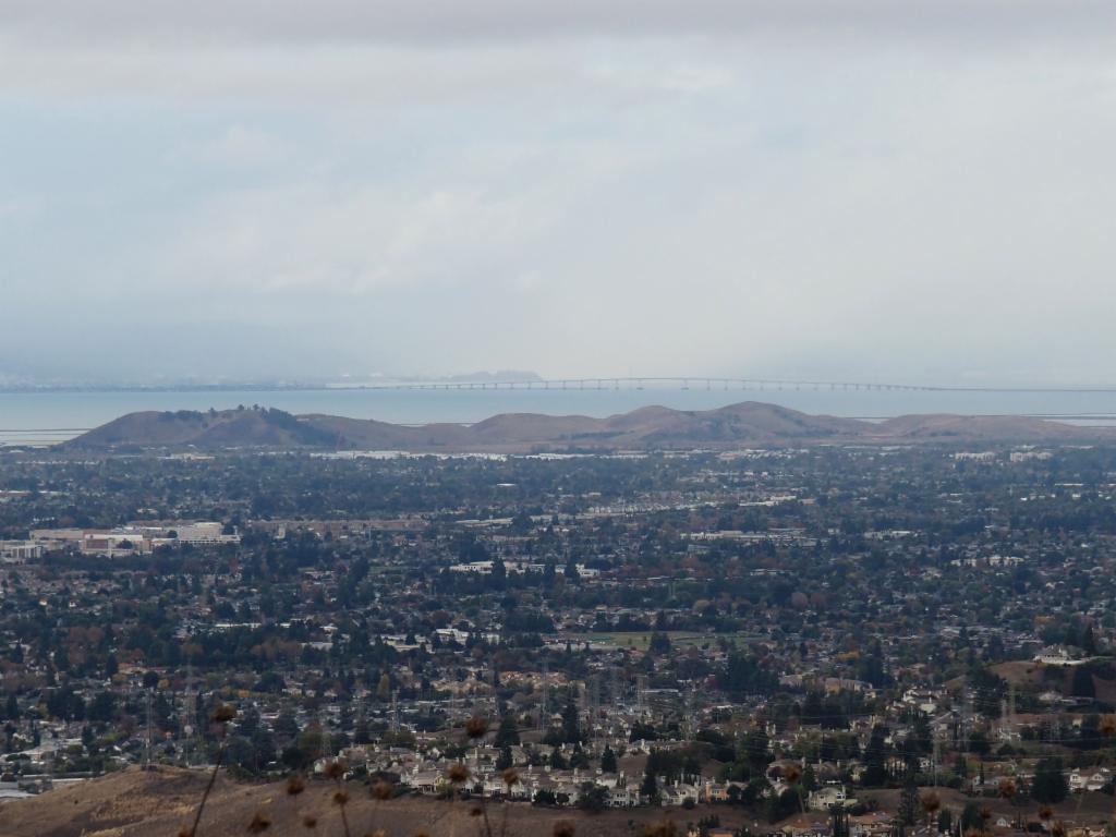
San Mateo - Hayward Bridge
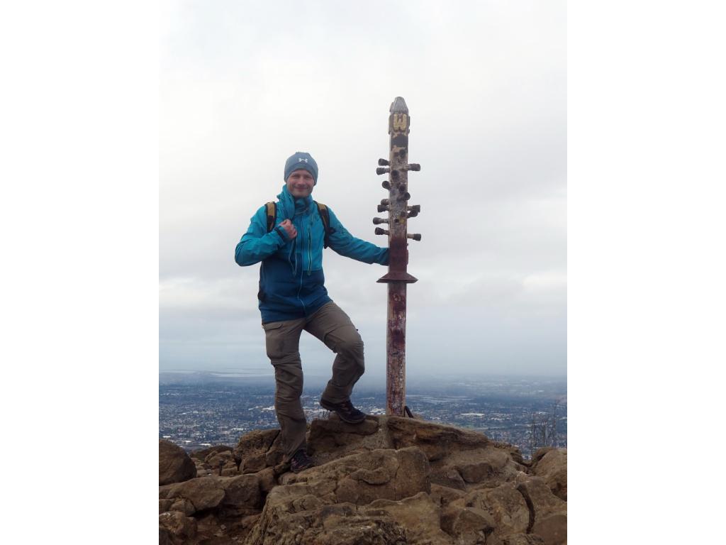
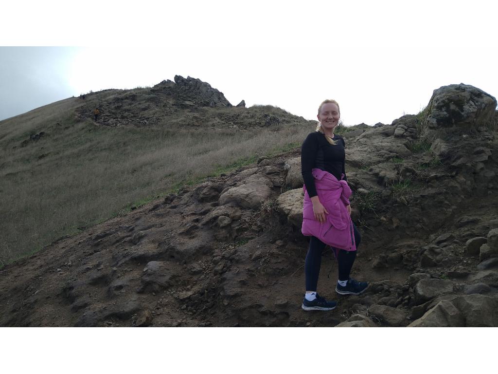
On the summit
Mission Peak west face from the Horse Heaven Trail
Bay from the Horse Heaven Trail
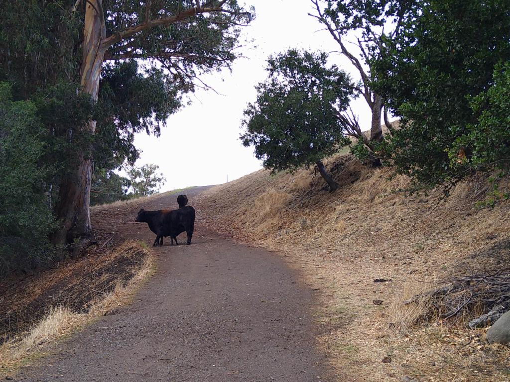
Cow and calf