
Long Mynd
2. 12. 2023
Peter Schrammel
Weather
5cm snow, light rain
Interest 
****: Circuit through 2 1/2 beautiful valleys of Long Mynd - in special conditions
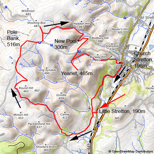
Route
Little Stretton, 190m - Pole Bank, 516m - New Pool, 300m - Yearlet, 465m - Church Stretton, 198m - Little Stretton
Elevation gain
711m
Distance
20km
Timing
5h (2 + 1 + 2/3 + 2/3 + 2/3)
Stamina
D: Long, the steep ascents are short, though.
Difficulty
0: sometimes steep, sometimes rocky, in particular near the waterfalls in Callow Hollow and Lightspout Hollow; very slippery in snowy conditions
Danger
3: very narrow paths in Callow Hollow, some 5m drops between the path and the brook 3; broader path along quite steep slopes to the New Pool, in Town Hollow and on the Rudges 2-3, in particular, in snowy conditions; otherwise <2
Visitor frequency
c: Callow Hollow a, otherwise c-d even in bad weather
Report
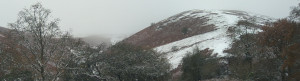
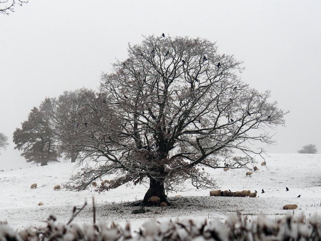
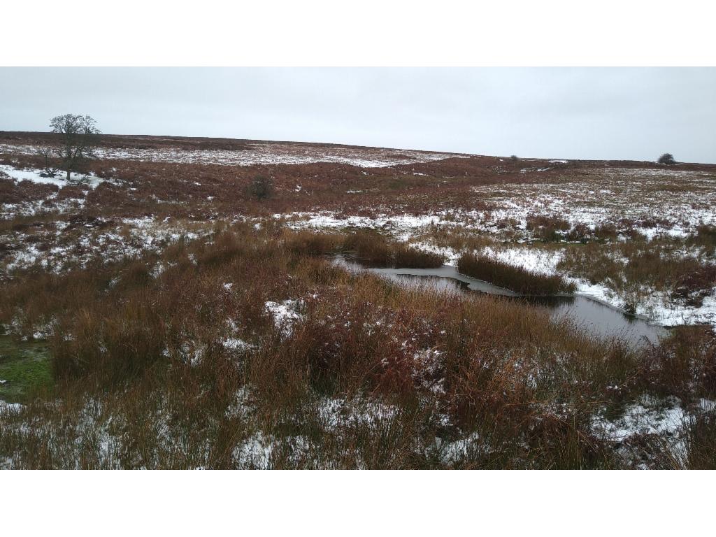
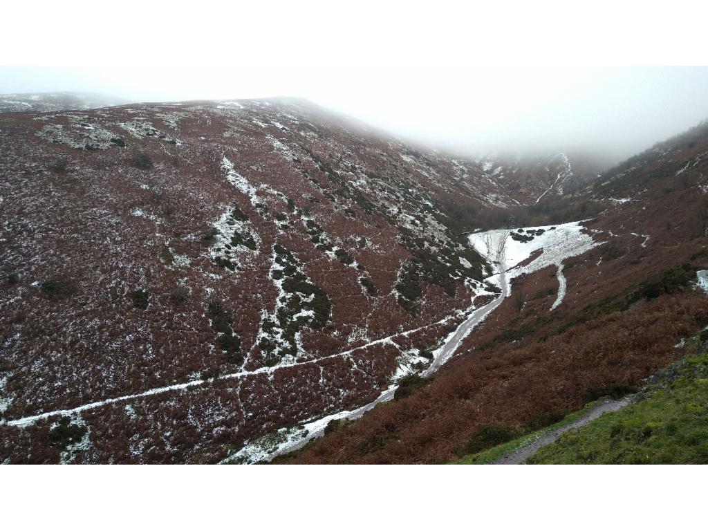
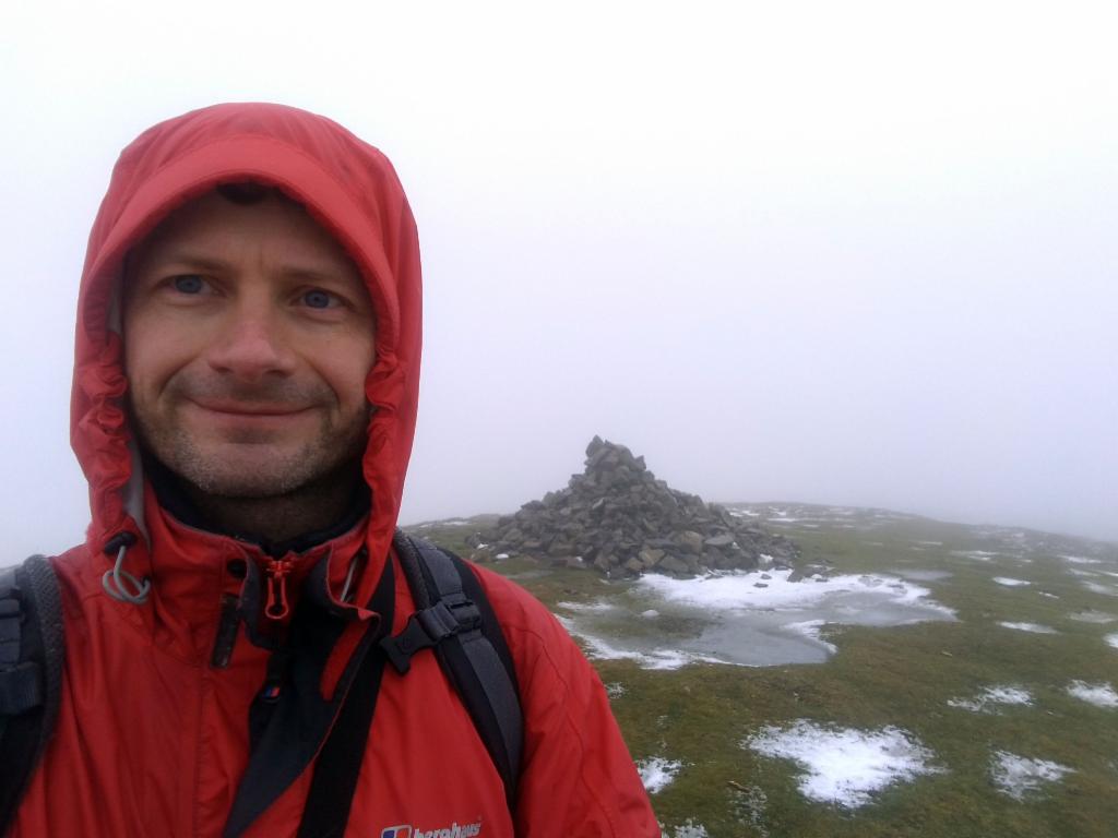
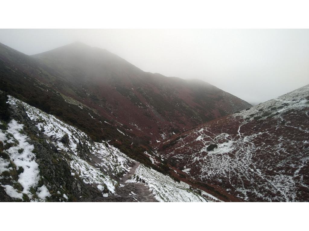
The plan for the second hike during my Shropshire Hills weekend was to explore the deeply carved valleys of Long Mynd a sandstone plateau west of Church Stretton. That morning the little timber frame church of Little Stretton was covered in 5cm of fresh snow. However, the temperature have risen above zero in the meanwhile when I left after 9am. It was drizzling. I followed the skidmarks that cars left in the snow in order not to wet my shoes too much from the beginning. Before reaching Minton I turned right I took the footpath that enters the Callow Hollow via a detour over a hill because the direct approach is prohibited. The descent from the hill down to the lovely valley floor was insanely slippery so that I used the nearby fence to hold onto. Nobody had taken that path since the morning except a fox whose trace I was following. Passing above Oakleymill Waterfall required some caution due to the rocky path covered in snow. The narrow path then continues along the brook, most of the time directly next to it, sometimes a few meters up in the western slope. In some places the conditions required caution because even slipping a couple of meters into the brook could easily break a leg. The clouds were hanging low, just below the plateau. The steep slopes on either side of the valley are sometimes covered in fern, sometimes in juniper, giving the hills their distinctive patchy look from the distance. The whole valley was quiet and peaceful. The only signs of wildlife were the trace of the fox that I was following and the occasional footprints of grey partridge. After the bifurcation of the Barrister‘s batch the path became less visible and crossed through fields of fern whose leaves were carrying tiny patches of snow that they then offloaded onto my thighs. Soon my trousers were entirely soaked. Fortunately, it was not very cold and there was no wind at all. The vegetation became increasingly scarce – besides grass and low scrubs there was only the occasional lonely, knotty rowan tree. In the meanwhile my water-resistant boots have surrendered to the surrounding humidity and I could hear squishy sounds from their inside. The vast bleak plateau must be a really uncomfortable place in stormy conditions. My GPS watch made it easy to navigate, but without any map and navigation device one could easily be lost in this featureless desert. A tarmac road and a broad path led me to the almost flat summit of Pole Bank. A group of hikers was about to leave the summit and a mountainbiker came along too. A round table explains the 360° panorama, which one could enjoy on a beautiful day - not today. It was after 11am and I was feeling cold. So, I skipped lunch, put on another layer under my jacket and continued to find the path leading down to Lightsprout Waterfall. I was surprised to see shapes of horses appearing out of nowhere that I walked too far. I had to backtrack and find my way in between the ponies. The path along the brook was in bad condition with the profiles of trail runners‘ shoes having dug into the mud like cow hooves. After a rock looking down to the confluence of two brooks, I had to cross the brook to reach the main path down to the waterfall. There I was caught off guard by the sudden layer of ice on the rocks that made me slip and land hard once more. Around the waterfall the path is very rocky and it was covered by a layer of mud, ice and slush – so slippery that the occasional wet piece of rock offered perfectly trustworthy grip in comparison. Despite the bad weather, there were surprisingly many walkers in that valley. The drizzle had intensified to light rain in the meanwhile, so I was pondering whether I should walk down to Church Stretton right away, but then decided to continue along the slope above Carding Mill Valley to the New Pool reservoir and then climb up to a summit called Yearlet. Of course, I wouldn‘t have a view from there at all, but I had time to do it, so I did it. The path there was paved with enormous horse droppings. The final climb was very slippery again and the way down was even worse. I then took the path down the Townbrook Hollow, another wild, beautiful, deeply cut valley. The path was less slippery there and thus I made fast progress. The final stretch into Church Stretton passes through the Rectory Wood which features several enormous beech trees. I stopped at the town church to warm up a bit inside as my trousers were soaked again. It was 1.45pm and was looking forward to a hot bath, hence, I didn‘t spend much more time in the town, but took the path via the Rudges back to Little Stretton.
Church of Little Stretton in the morning
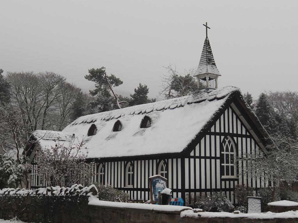
Oak tree in the middle of a snowy pasture
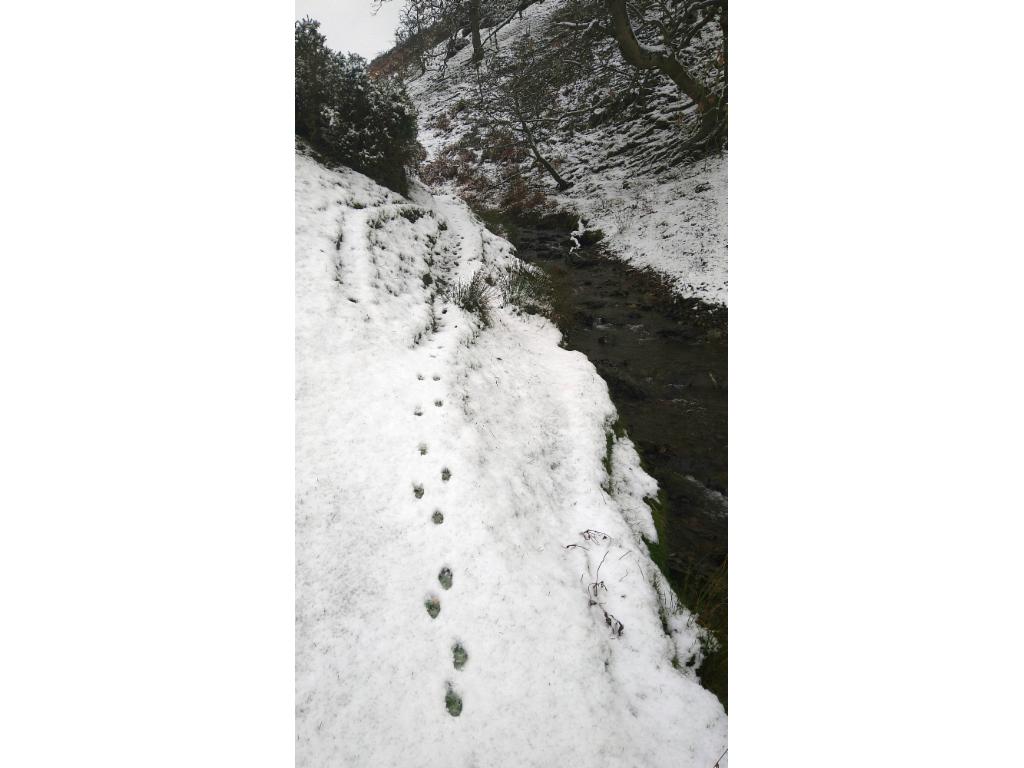
The fox traces the path...
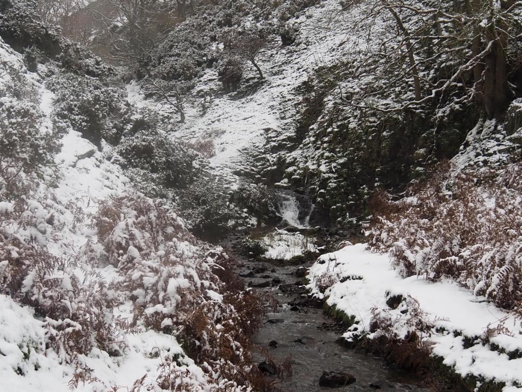
Oakleymill Waterfall
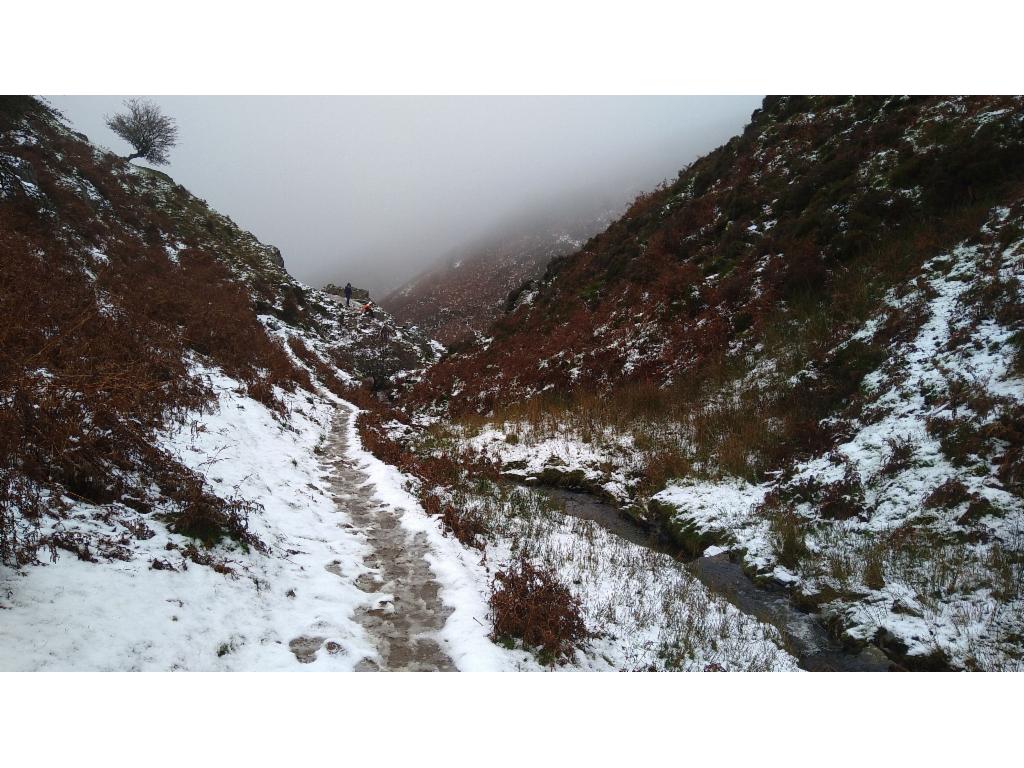
Path in Callow Hollow
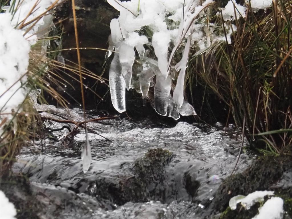
Ice in Callow Hollow
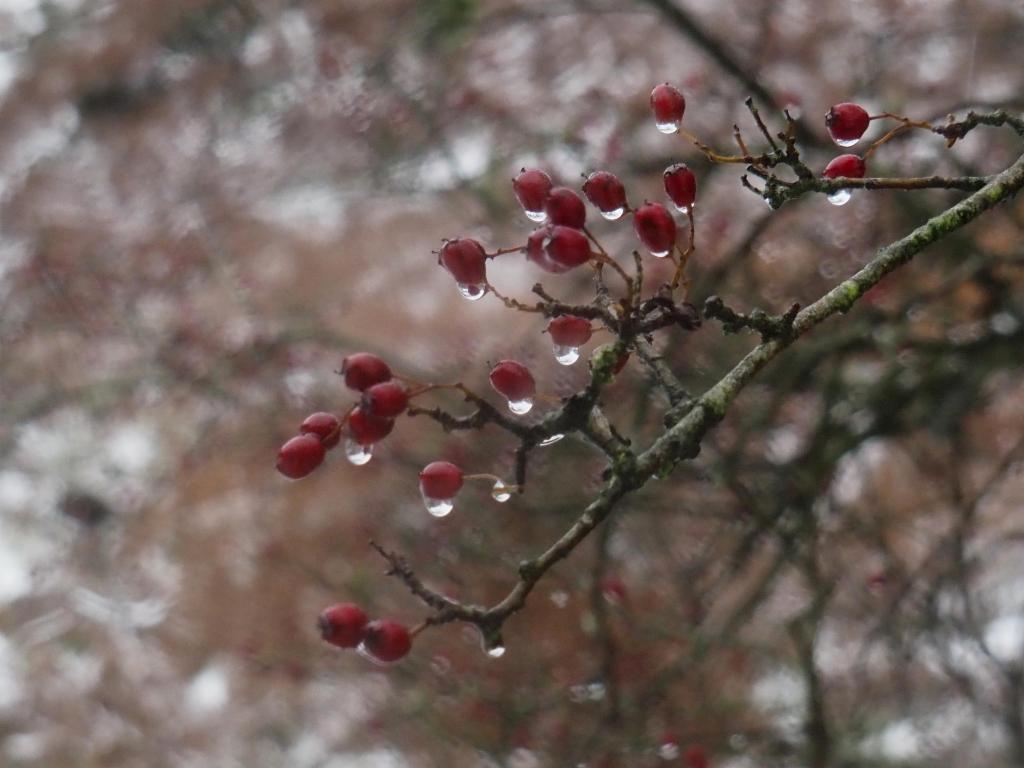
Rowan Tree
Arriving on the plateau
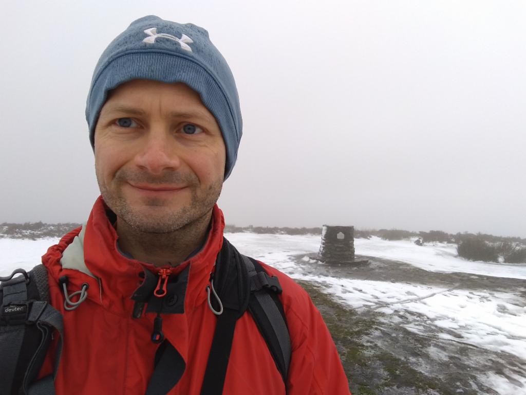
On Pole Bank
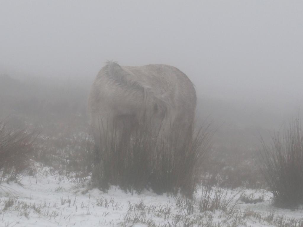
Mysterious creature in the fog
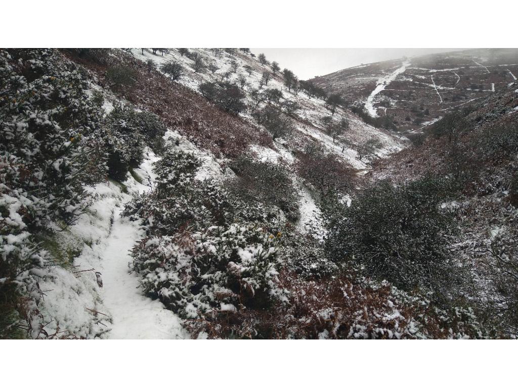
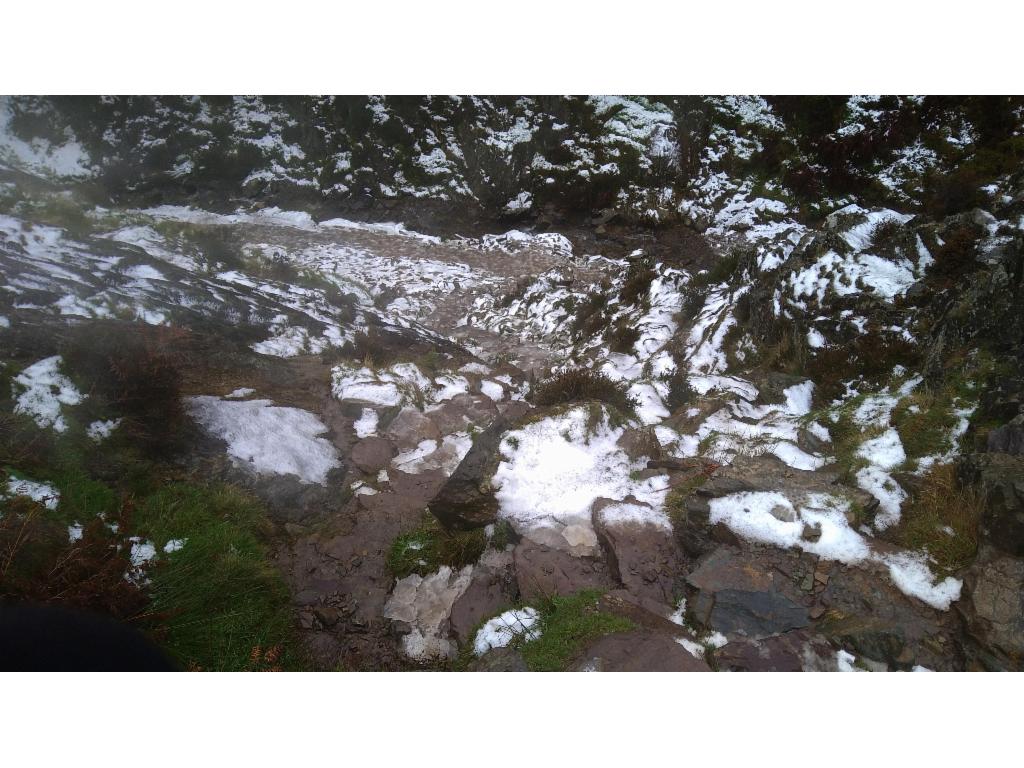
Lightspout Hollow towards the waterfall
Steep, icy path next to Lightspout Waterfall
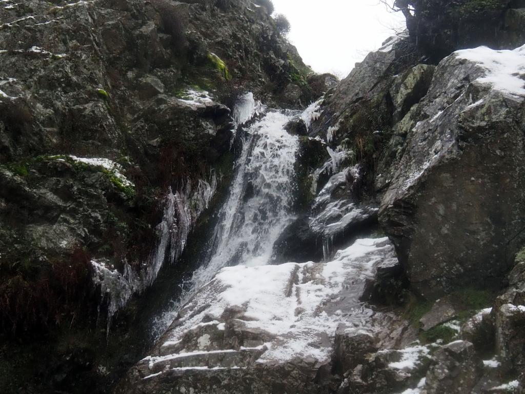
Lightspout Waterfall
Carding Mill Valley
New Pool dam
On Yearlet summit
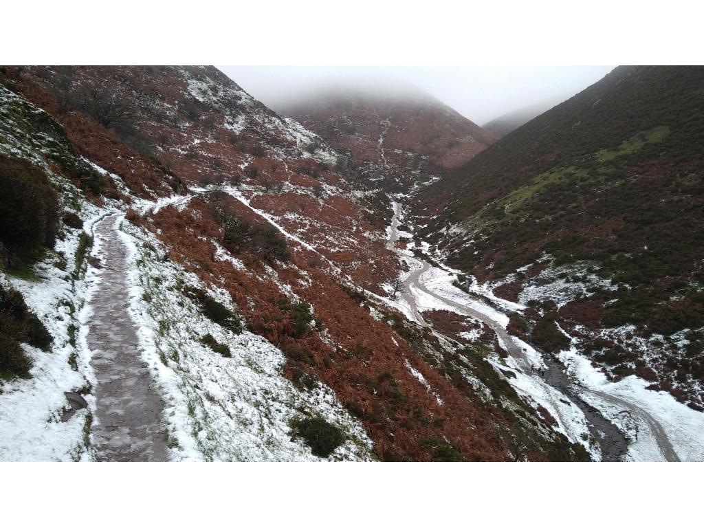
Townbrook Hollow
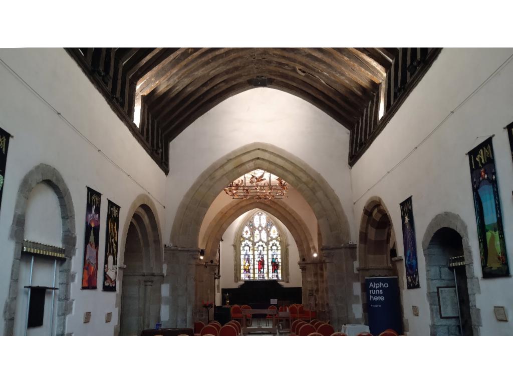
St Laurence's Church in Church Stretton