
Oxford Green Belt Way
17. 3. 2023 - 18. 3. 2023
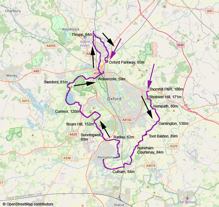
Nakul Misra Pathak (until Cumnor), Yumi Bagge (full circuit back to Thornhill), Peter Schrammel
Weather
unsettled, some sun, heavy rain towards noon and midnight
Interest 
***: Nice selection of the best foot paths around Oxford
Route
Thornhill P&R, 100m - Shotover Hill, 171m - Horspath, 80m - Garsington, 130m - Toot Baldon, 89m - Nuneham Courtenay, 84m - Culham, 64m - Abingdon, 53m - Radley, 62m - Sunningwell, 80m - Boars Hill, 152m - Cumnor, 120m - Swinford, 61m - Wolvercote, 59m - Thrupp, 64m - Oxford Parkway, 65m
Elevation gain
-674/+629
Distance
74km
Timing
16h (1/2 + 1/2 + 1 + 1 + 1 3/4 + 1/2 + 1 + 1 + 3/4 + 3/4 + 3/4 + 1 1/4 + 1 3/4 + 1 1/2 + 1 3/4)
Stamina
K: quite tough for the feet...
Difficulty
0: partially quite muddy
Danger
2: caution on narrow paths along the rivers
Visitor frequency
c: mostly dog walkers
Comments
Several sections of the Green Belt Way were closed due to flooding: Culham to Abingdon, short section after Swinford, Shipton to Kidlington, Gosford to Elsfield
Report
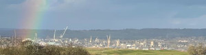
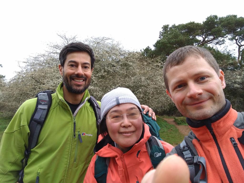
We had discussed about doing the Oxford Greenbelt Way since autumn, but it was difficult to find a date. That Saturday it was possible although the conditions were not ideal. A bit of rain was announced and the waters had not yet fully receded after the recent floods. Also, Sparsley bridge at Watereaton was apparently impassable. Nonetheless we were going to try. Nakul could join too, but would have to leave in the late afternoon. Yumi picked me up in her car at 7.50am to go to Thornhill P&R, our starting point. The sky was grey, but there were no signs of rain. We hiked up to Shotover Hill, down to Horspath with views over the Mini-plant and up again to Garsington. From there we had again views over southeast Oxford. We followed the green circle Oxford Green Belt Way markings. Some dog walkers were already awake. We crossed a slightly muddy field up to Toot Baldon and a road section led us to Nuneham Courteney and its manor. On the way through the woods to Culham Science Centre it started raining quite heavily. The paths were very muddy and our feet got wet. To our disappointment, the footpath along the Thames to Abingdon was closed. So we had to look for an alternative towards Culham village and then via the old bridge into Abingdon from the south. We completed the first quarter at 1.30pm and had a break at Annie‘s at the Boathouse with sandwiches, tea and scones. After 2pm we continued. To make up for the prior detour, we cut short into Radley along the lakes and joined the original route at Radley College. We crossed the college park with its enormous trees and straight over the A34 to enter Sunningwell from the south. The weather was actually quite sunny now. We quickly headed up Foxcombe hill where we spotted a friend of Yumi‘s working in his garden. To get to Boars Hill we walked on footpaths between the backyards of residential areas where lots of evergreen trees had apparently escaped into the wild. From the path leading down to Chilswell farm we had fantastic views over Oxford‘s spires and cranes, and a rainbow. We overtook an elderly man who seemed a bit lost when hiking on the dirt road towards the west before turning north towards Cumnor. That‘s roughly the half-way point, which we reached towards 6pm. Nakul called his wife to fetch him. Yumi and myself had dinner. Yumi‘s husband and son took the opportunity to raise our moral and brought fresh socks. That was a great idea to improve our chances to finish without blisters after our shoes didn‘t really dry since the rain in the morning. After 7.30pm we continued in the dark down to the Farmoor Reservoir. We had to cross a field which was very muddy and the meadows that followed were even worse. The path around the reservoir and along the Thames to Swinford was better. There were only a few slightly flooded spots. A section of the footpath after Swinford bridge was closed again. Fortunately the detour was minor. The path around Wytham Hill was not too bad. We were scared every few seconds by birds that were scared by us. We passed through Wytham Mill and encountered rescue workers who were searching the river banks for a missing person. When we were walking on the road to Wolvercote, it started raining heavily and it was also getting a bit cold. Yumi wanted to take a break at the BP garage. So we went there at quick pace. After a coffee we returned to the canal at 11.30pm and followed it all the way to Thrupp. In some places the narrow path was very slippery. We had to take care in order not to fall into the water. Also frogs were crossing our way, which we had to avoid in the light of our headtorches. I was geting hungry. Hence we took a break on the terrace of The Jolly Boatman to eat a sandwich. My feet were wet again. Thus I put Compede at some sore spots and changed the socks. We continued along the canal towards Shipton, the northernmost place of the route. Our motivation was suddenly shaken when we noticed that the further path to cross the Cherwell was completely flooded. So we had to return to Thrupp and hiked through the community forest to join the route at Kidlington church. Unfortunately I got a headache now, which got worse quickly and painful with every step. I still hoped it would get better - so I continued walking. Yumi proposed to take the path via Gosford to Oxford Parkway in order to avoid walking on Bicester Road. Unfortunately the path ended on the partially flooded meadows along the A34. So we had to find a way across these meadows to the A4260 roundabout. A barbed wire was preventing the exit at our preferred spot. We backtracked a bit until we could safely climb over it. My head hadn‘t become any better so I decided to abandon the circuit and take a taxi from Oxford Parkway. It was 3.30am. Yumi decided to return to Thornhill P&R on foot along the A40, which she managed to achieve.
On Shotover Hill
Oxford from Garsington
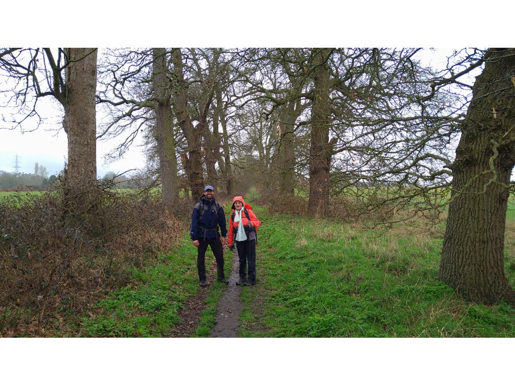
Alley towards Nuneham Courtenay
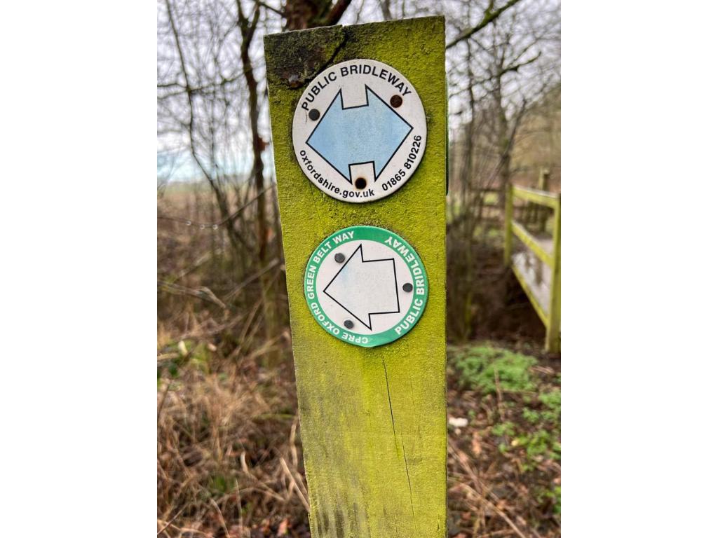
Green Belt Way sign posting
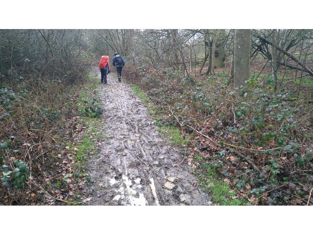
Muddy path from Nuneham Courtenay to Culham Science Centre
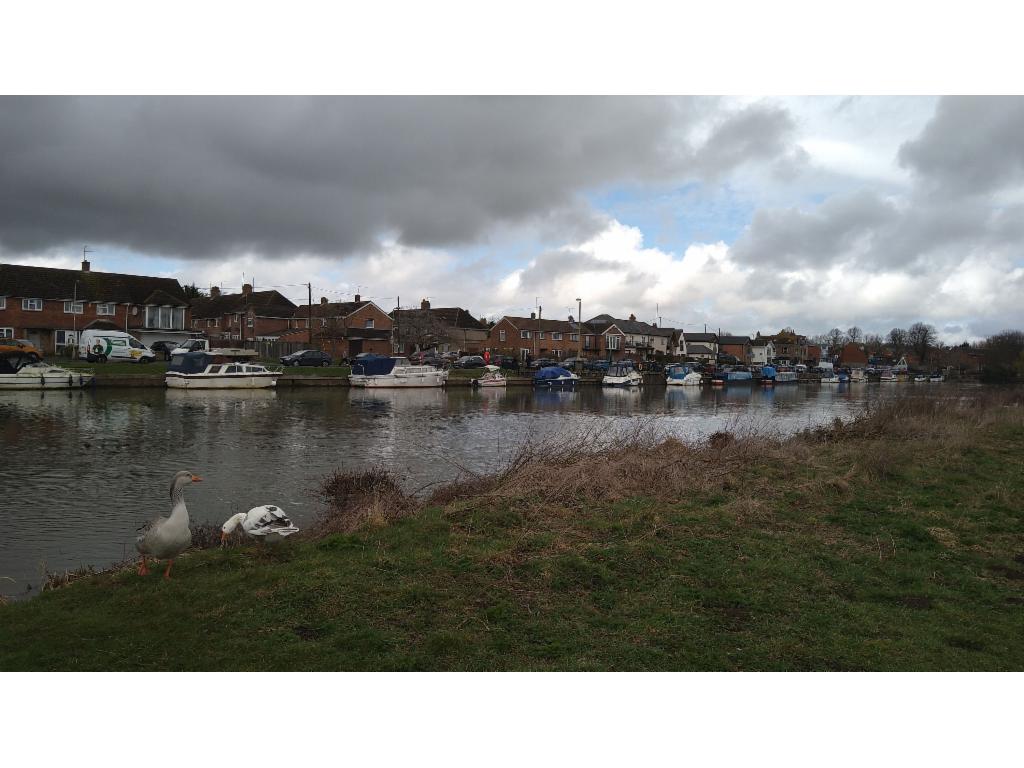
Along the Thames towards Abingdon
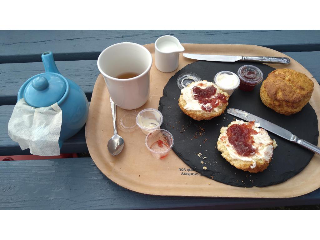
Tea and scones
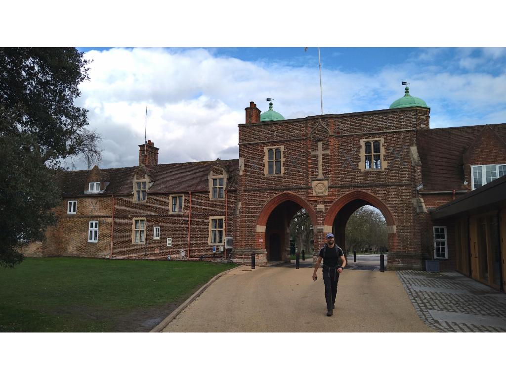
Radley College entrance
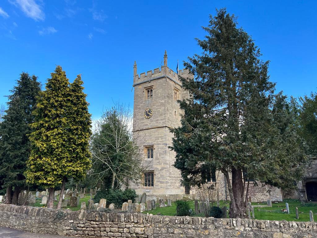
Sunningwell Church
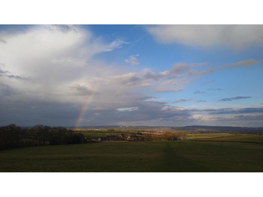
Rainbow over Oxford's spires and cranes from Boars Hill
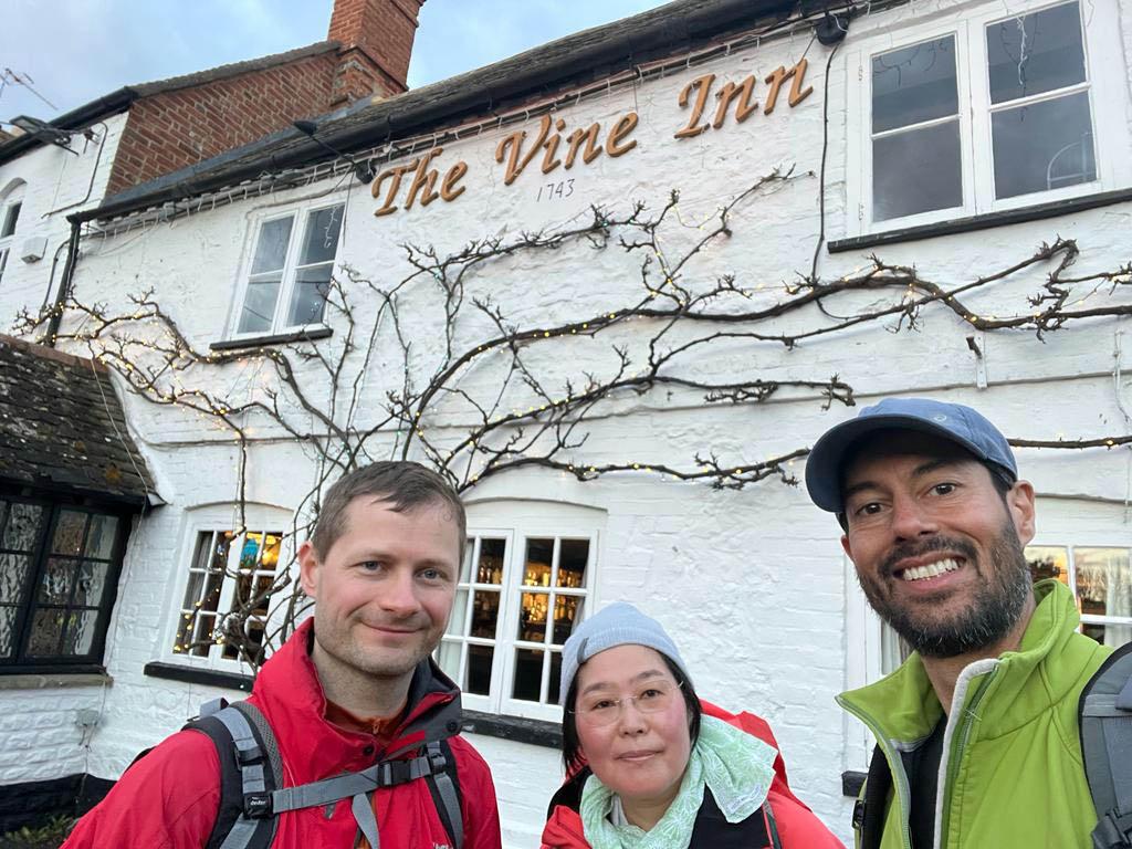
At the Vine Inn in Cumnor
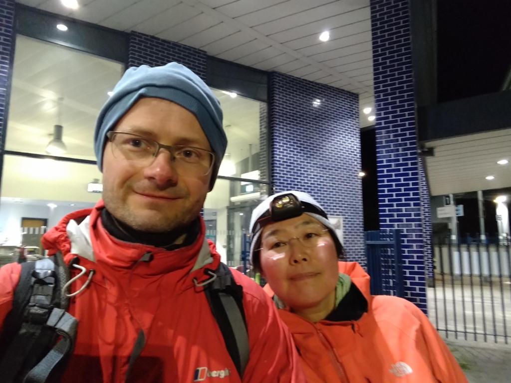
At Oxford Parkway