
Dolgoch Falls and Tarrenhendre
29. 8. 2022
Peter Schrammel
Weather
cloudless
Interest 
***: Via several waterfalls to a belvedere above the Dyfi valley
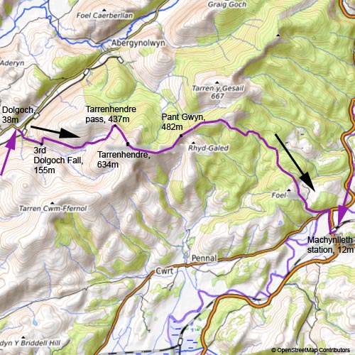
Route
Dolgoch, 38m - 3rd Dolgoch Fall, 155m - Tarrenhendre pass, 437m - Tarrenhendre, 634m - Pant Gwyn, 482m - Machynlleth station, 12m
Elevation gain
+755/-781
Distance
15km
Timing
4 1/2h (1/2 + 1 + 1/2 + 1/2 + 2)
Stamina
D: long descent to Machynlleth
Difficulty
0: some rocky steps in the descent of Pant Gwyn
Danger
2: dangerous drops with guardrails around the falls; steep slopes in vicinity of the path around Pant Gwyn
Visitor frequency
a: I haven't seen anyone on the whole route. The falls are probably busier later during the day.
Comments
There is a good path from the pass north of Tarrenhendre to the summit, although it is not shown in the maps. There is a gap in the path on the maps towards Moel Maes-Y-Wern-Goch; I tried to traverse from 420m on the ridge through the combe down to to Moel Maes-Y-Wern-Goch, but this is not recommended; it is probably better to continue on the path up to 440m and then descend on the flatter slope, although I couldn't see there any traces either. The second gap on the map is between the two forest roads 280m down to 240m; there is actually a maintained and marked path that continues right across the upper forest road and leads in a long right turn across the brook and down to the forest road at 230m east of the brook.
Report
I wanted to catch the train at 2pm from Machynlleth. To make the distance, I needed to take a bus to Dolgoch. I had to take the bus at 8am without an early breakfast. The morning was cloudless. The large parking lot in Dolgoch was completely empty. A tarmacked path led under the viaduct of Talylynn Railway to the first falls. There would probably be much more water in a less dry summer. There was also a mysterious tunnel that I explored with my headlight. Surprisingly the tunnel ended at daylight in a pit. I returned and hiked up to the top of the cascade. It turned out that the pit is actually a deep quarry. The path continues on the right bank of the brook to the more impressive second falls. Finally, I reached the third falls where the path crosses the torrent. Since I was going to leave the forest now, I put on sunscreen. I followed the path cut through dense fern that ends at a dirt road. Sheep were grazing everywhere on the vast pasturages on both sides of the valley. I followed the road. At some point, I noticed four partridges that were running on the road in the distance. Before a ford, I turned left following a grassy road full of sheep excrements towards the pass between Tarrenhendre and Mynydd-Tyn-y-Coed. The visibility was excellent, in particular the view to Cadair Idris. From the pass I could continue on the road or directly along the fence to the summit. The sheep had trodden a reasonable path over the years, so I hiked up the steep 200m elevation to the summit. I traversed the summit plateau until I had a view down to the beautiful Dyfi valley. It was 11am, time for a lunch break. I expected the path finding on the way down to be everything else than straightforward. There were two sections without a path on the map. Ugly forest highways cut through the sides of the hills - my plan was to avoid them as much as possible. First, I followed the path down and over Pant Gwyn where the ridge narrows a bit. I continued towards Foel y Geifr on a good path. The further path down starts from flat of Moel Maes-y-Wern-Goch, but it was not clear how to get there. Options were to traverse the slope down to the plateau, or to follow the path up to Foel y Geifr and see whether it would be easier to descend from there. I decided to traverse, which was an interesting experience in hip-height rhododendron and blueberry scrubs. At the bottom of the combe, I needed to a traverse a brook, which was not visible below scrubs. I tried to sense where it is with my canes and cautiously stepped forward. Suddenly I slipped half a meter into the brook - now I knew where it was and could get out of it on the other side. Having arrived on the plateau, I couldn't see any path coming down from Foel y Geifr. The further path passes through a gate. There were black markers that I had seen earlier, so the likely path was meant to pass via Foel y Geifr. I continued through a spiky spruce plantation and then steep down through a forest aisle to the forest road. I was at ease that the marked path continued on the other side - it would have been impossible to find a way through the dense forest otherwise. The path crosses a brook and leads down to lower forest road. The further paths went as indicated on the map. There were clear markers and traces, but the paths were not much used. There were lots of puddles even though it hadn't really rained for weeks. Some rocky sections of the road were very slippery. Finally, I reached a very, very steep, tarmac road down to A493. I heard the 1pm train leaving the station. I still had to cross Dyfi bridge and walk 10min to the station. There were roadworks to build a new bridge over the river further east. Since I had time until 2pm, I bought ice cream at a garage and enjoyed the warm sun at the station. The train back via Birmingham was, of course, delayed. I arrived in Oxford at 6.30pm.
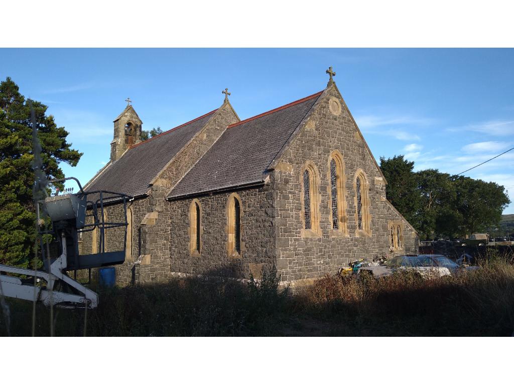
Bryncrug church in the morning
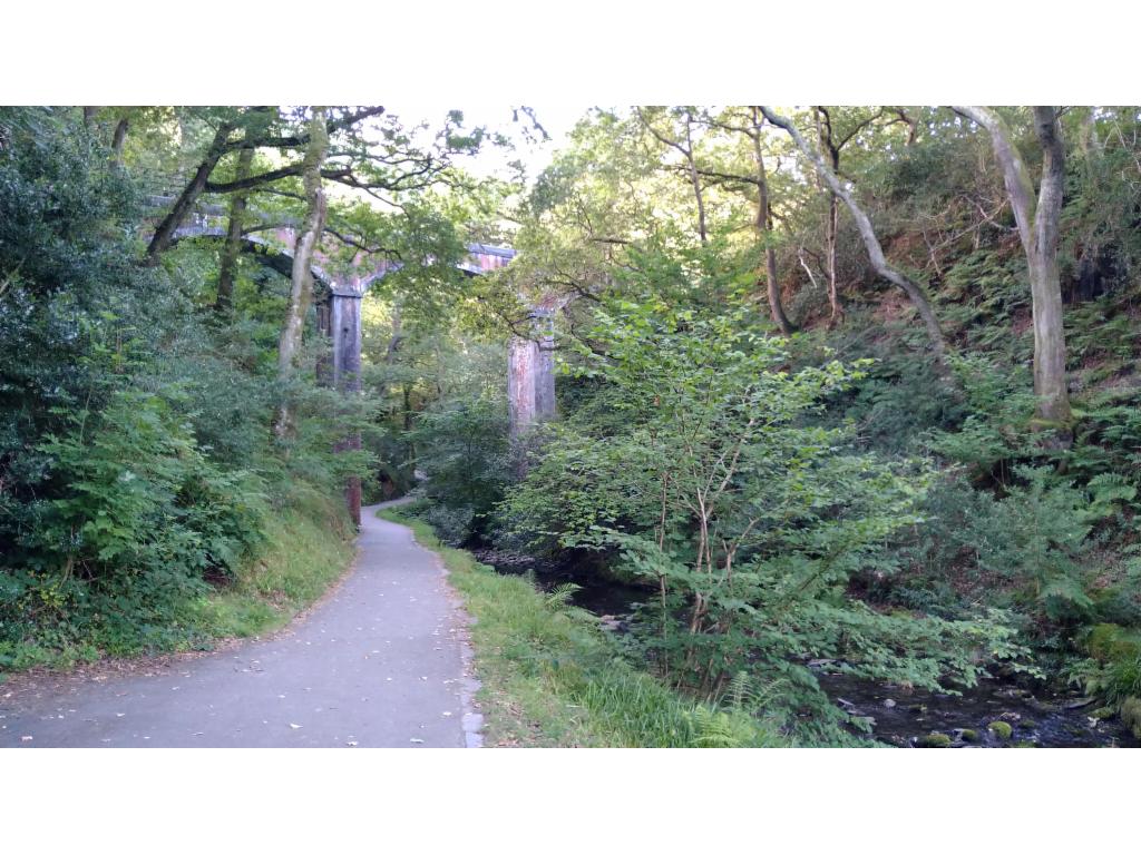
Railway bridge
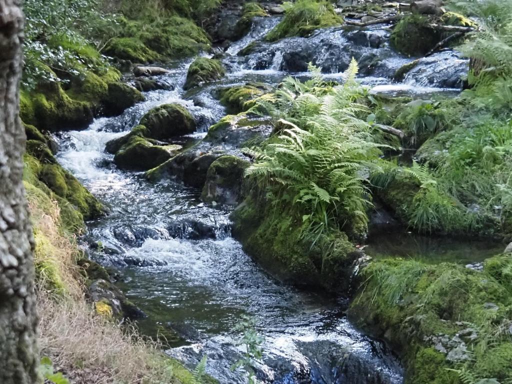
First Dolgoch falls
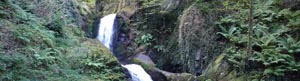
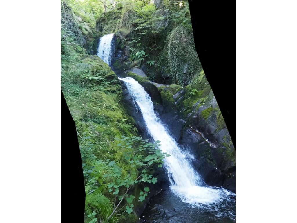
Dolgoch falls
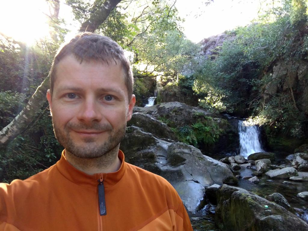
At the third Dolgoch falls
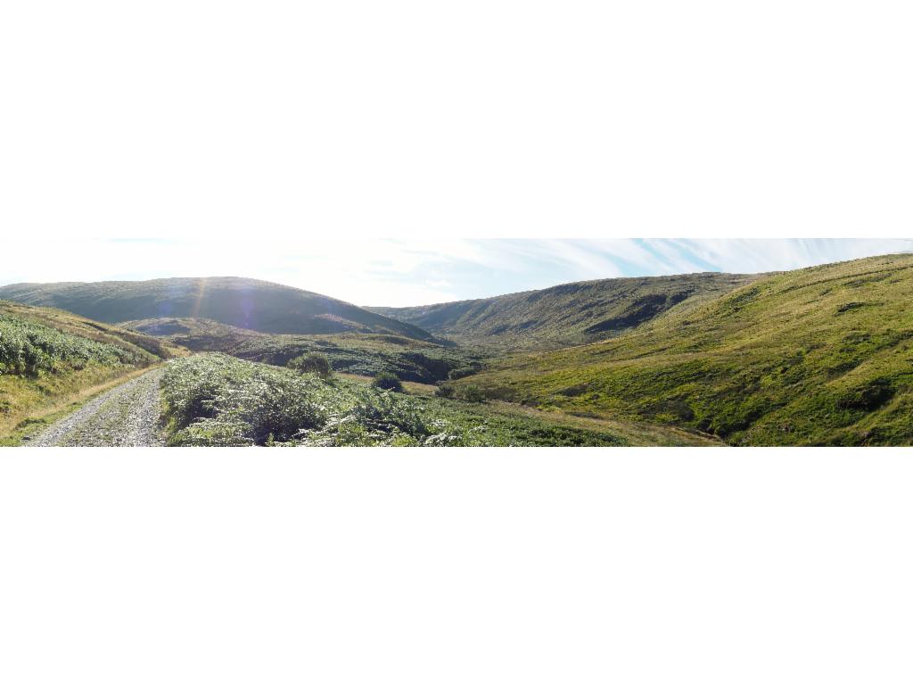
Panorama of the valley towards Tarrenhendre
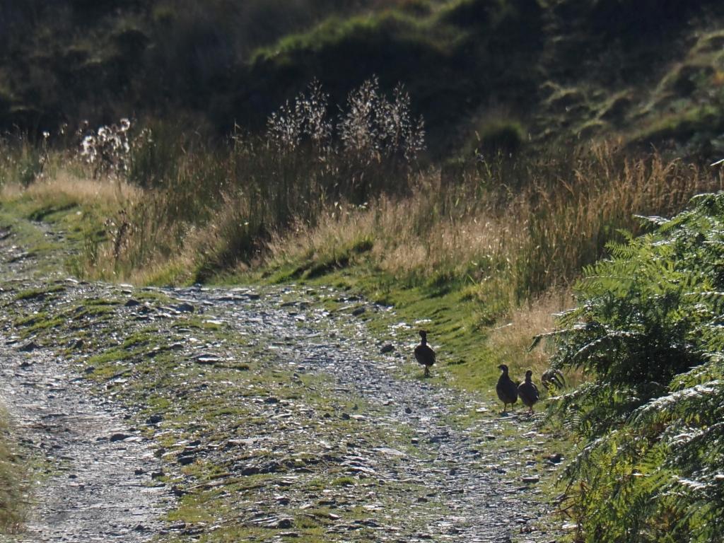
Partridges
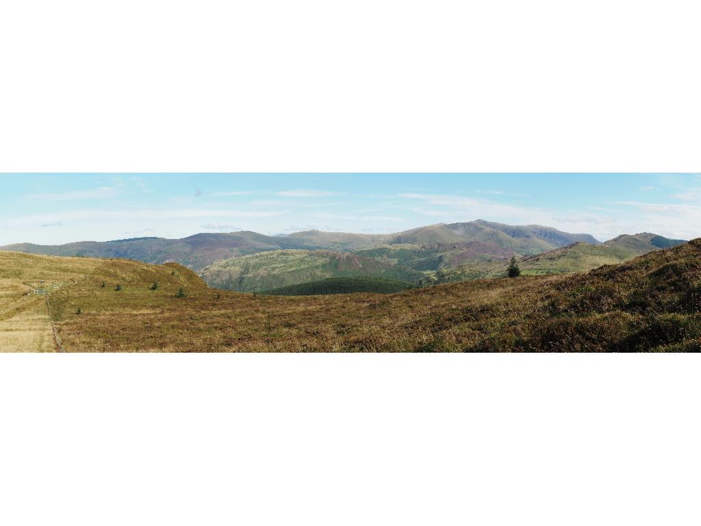
Panorama from pass towards Cadair Idris
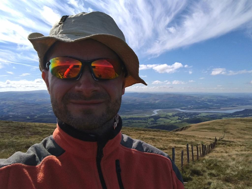
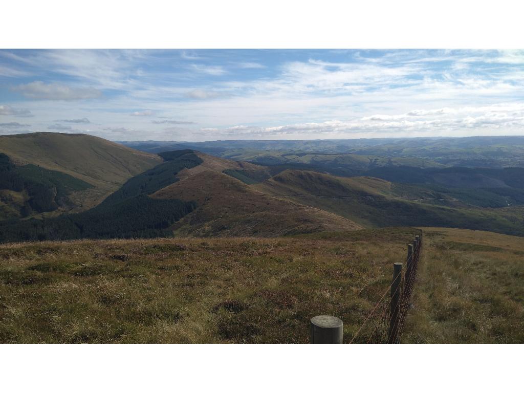
Dyfi valley from the summit
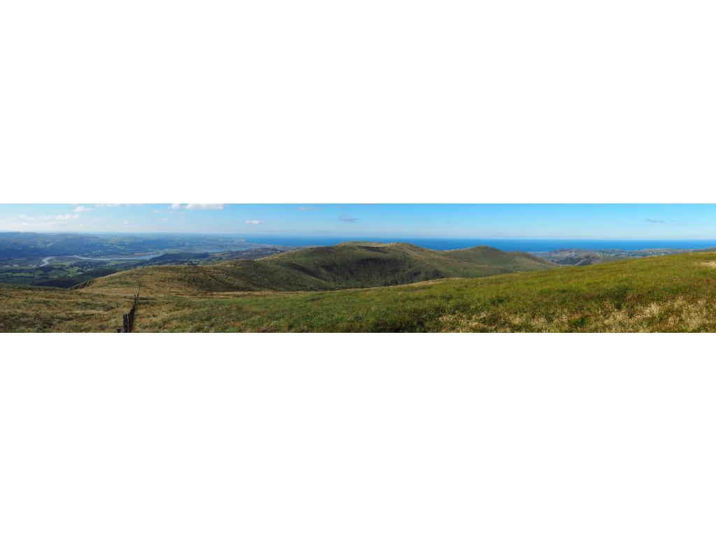
Panorama towards the west
Pant Gwyn from the summit
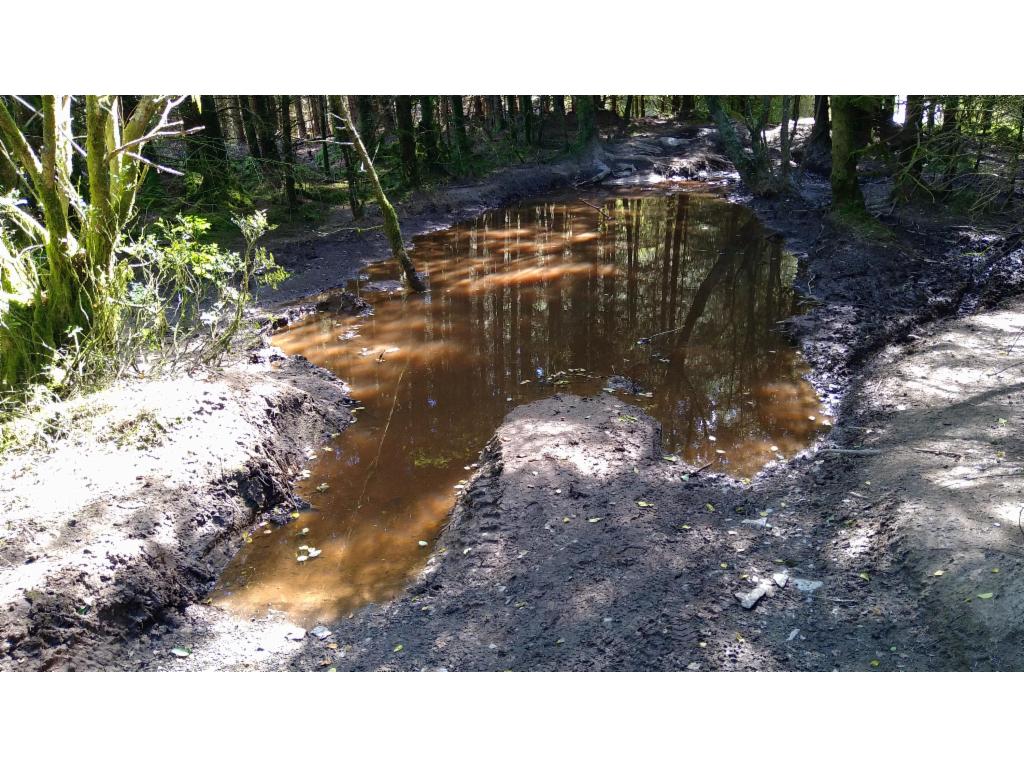
Quite muddy
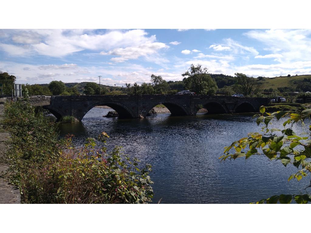
Bridge over Dyfi river