
Rhaeadr Fawr
14. 4. 2022
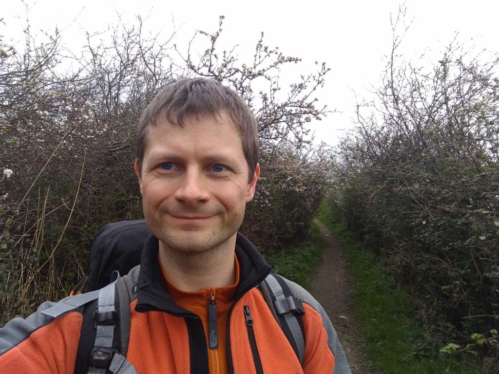
Peter Schrammel
Weather
sunny
Interest 
**: Extended hike to a very popular waterfall
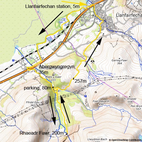
Route
Llanfairfechan station, 5m - Abergwyngregyn, 35m - parking, 80m - Rhaeadr Fawr, 200m - parking - 257m - Llanfairfechan station
Elevation gain
424m
Distance
17km
Timing
3 3/4h (3/4 + 1/4 + 1/2 + 1/2 + 1/2 + 1 1/4)
Stamina
C
Difficulty
0
Danger
1: Abrupt slopes in vicinity of paths
Visitor frequency
e: some dog walkers to Abergwyngregyn, then extremely busy to the waterfall, solitude over the hills to Llanfairfechan
Comments
See report for how to navigate the route over the hills to Llanfairfechan.
Report
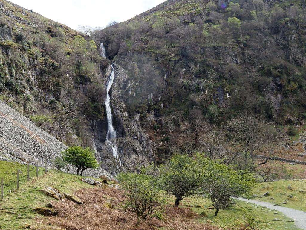
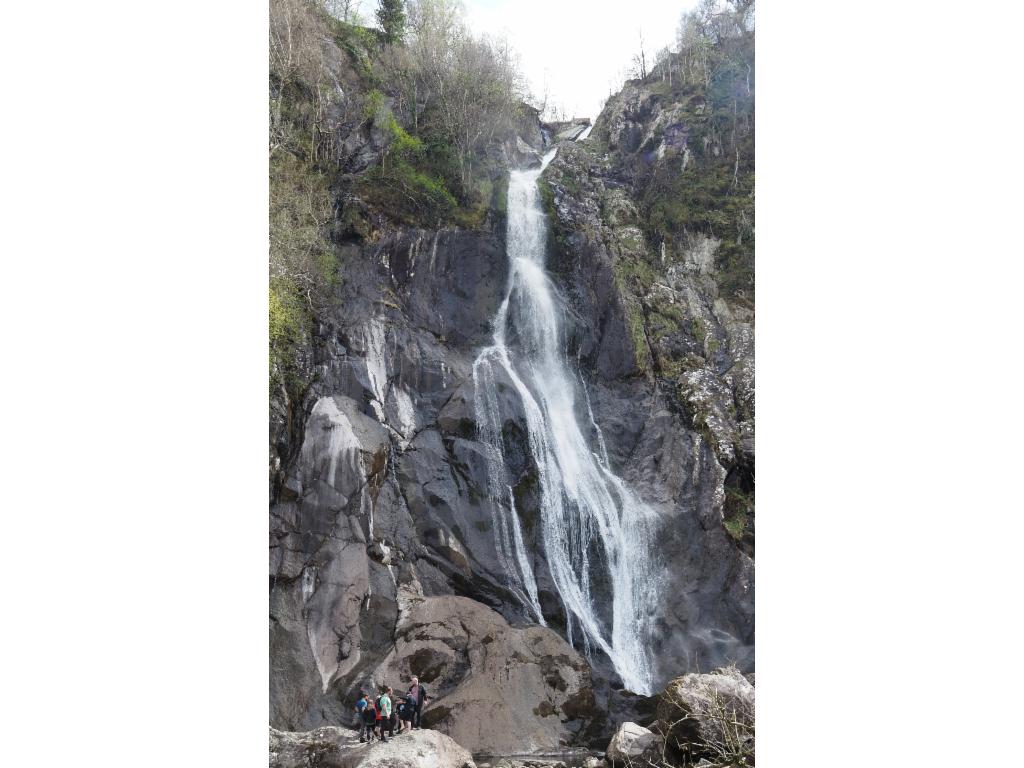
A not so bad Easter weekend was announced. So, I decided to spend four days in North Wales to go hiking as the weather allows. At 6.47am I took the train via Banbury and Birmingham to Llanfairfechan, where I arrived at 12.37pm. The skies were overcast when I walked along the shore. It was low tide and there were lots of dog walkers. From Abergwyngregyn I hiked up the valley on the narrow road, blocked with car traffic. The parking was overflowing and there were a lot of people on the path to Rhaeadr Fawr, the great waterfall, or Aber Falls. The bridleway leading there was almost suitable for wheelchairs. The weather got a big sunnier and the falls were visible from the distance. At 2.15pm I had lunch with view to the roaring falls while watching other walkers posing for pictures. I decided not to take the circuit back to Abergwyngregyn, but to return to the parking and hike over the hills back to Llanfairfechan. I stopped at the toilet at parking, but then needed to walk further down to reach the road to Llyn Anafon. I was looking for a path up over a little pass. There was nothing on OpenStreetMap, but in OS map. The gate to enter the pasturage was exactly where I had expected it. There were clear footprints, but otherwise the path seemed not very much used. In particular, the descent on the other side was not easy to navigate. I needed to find the locations for crossing the fences. The first one was a rusty ladder on the very western end at the end of a long stone fence. After that the traces were even less visible. I should have turned towards the right over a little grassy ridge to the very bottom right corner, but instead found a hole more towards the left corner. From there I followed a dirt road outside the fence to the bottom corner. There was a signpost pointing down the path to a brook that needs to be crossed before hiking up and crossing a pasturage towards the left. I enjoyed the beautiful view down to the sea. After 100m down the tarmacked road, the footpath continues through a gate towards the right. After a farm, a dirt road led a bit uphill to a steep tarmacked road which brought me down to Llanfairfechan. The next train was at 6.15pm. So, I had more than one hour. I turned right to pass by the church and walk down main street to the train station. I stretched in the sun before the train picked me up to go to hotel County in Llandudno, the last accommodation that I was able to find in the area. All restaurants were full of tourists. Finally, I got dinner at 20:45 in Dylan's.
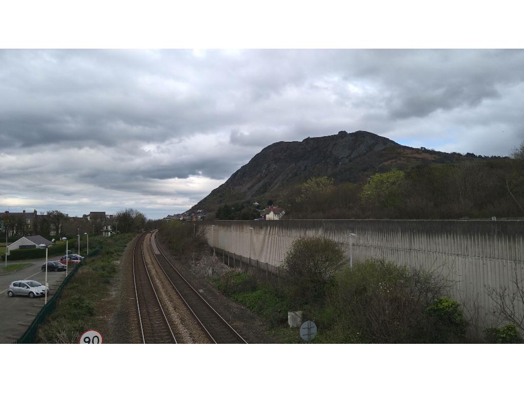
Train stop at Llanfairfechan
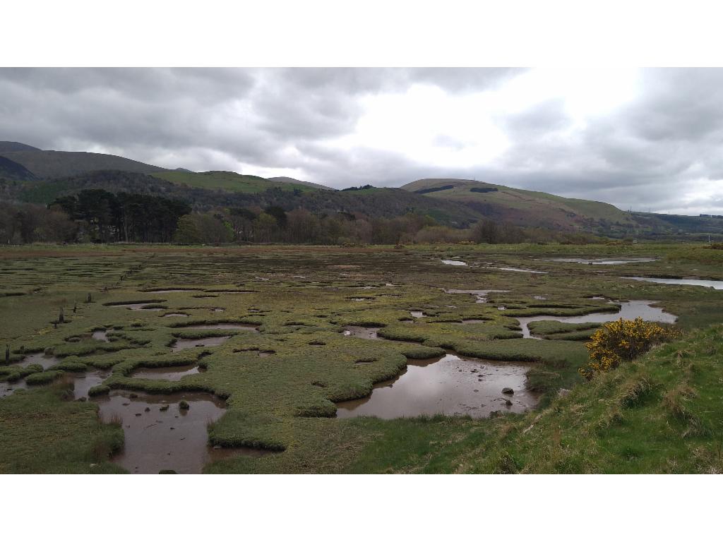
Vast swamps behind the coastline
On the Welsh Border Path
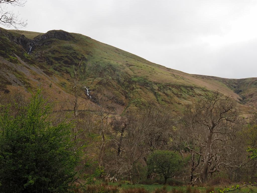
Afon Rhaeadr Bach
Looks quite impressive...
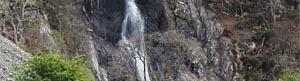
Rhaeadr Fawr
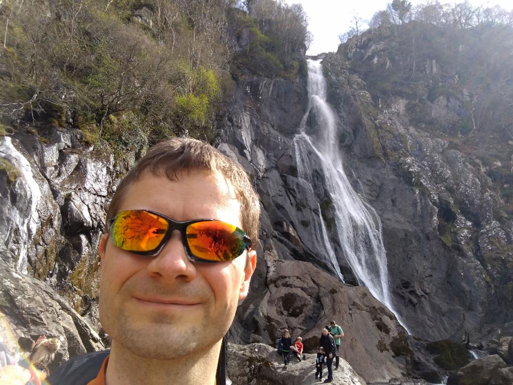
At the Rhaeadr Fawr
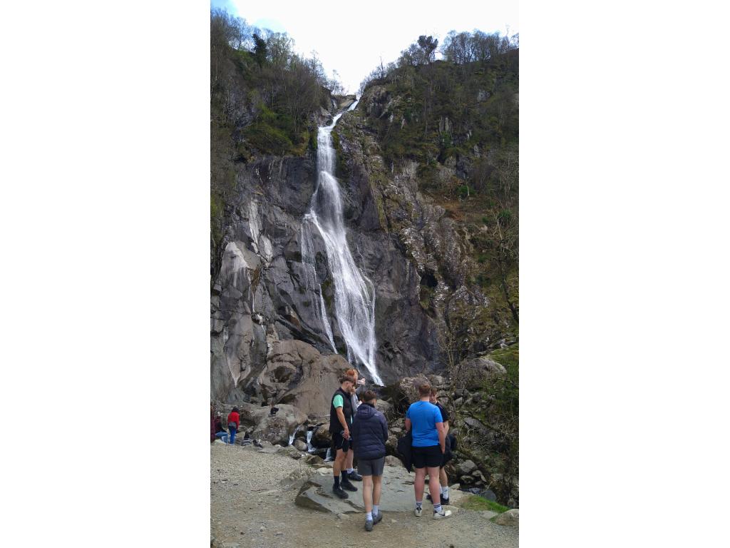
Rhaeadr Fawr: quite busy
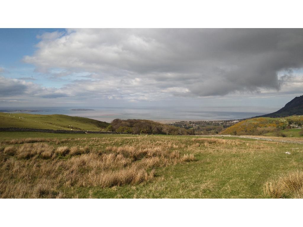
View to the eastern entrance of Menai Straight
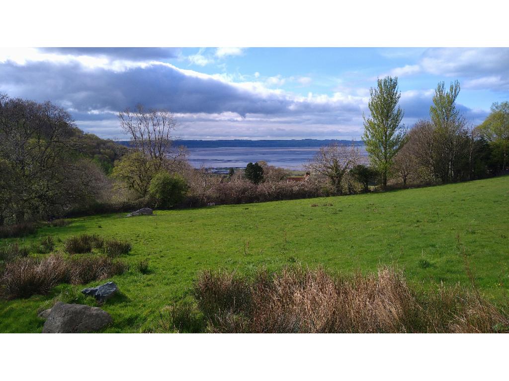
Menai Straight