
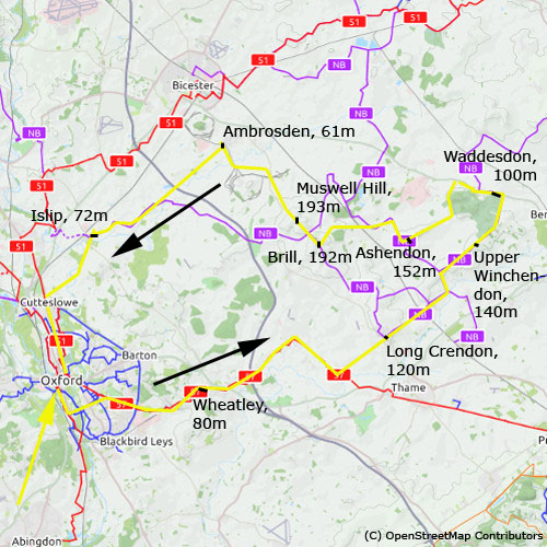
Oxford - Waddesdon - Brill - Islip
16. 5. 2020
Peter Schrammel
Weather
sunny, partially cloudy
Interest 
***: Nice view from the hills between rivers Thame and Ray
Route
Oxford, 60m - Wheatley, 80m - Long Crendon, 120m - Upper Winchendon, 140m - Waddesdon, 100m - Ashendon, 152m - Brill, 192m - Muswell Hill, 193m - Ambrosden, 61m - Islip, 72m - Oxford
Elevation gain
451m
Distance
82km
Timing
4 1/2h (1/2 + 2/3 + 1/2 + 1/6 + 1/3 + 1/3 + 1/6 + 1/3 + 1/2 + 1/2)
Stamina
D
Difficulty
0: some steep sections both uphill and downhill
Danger
0: car traffic
Visitor frequency
d: mostly car traffic and quite a few cyclists
Report
My second lockdown escape started via Horspath to Wheatley. I took the known route via steep Gidley Way, but then flat and with tail wind via Wormington and Shabbington. There were quite a lot of cyclists enjoying this nice and sunny day. A short steep climb led me to the nice village of Long Crendon with its numerous thatched roofs. After some ups and downs I passed through the similarly beautiful village of Cheasley. At the end of the village I saw a dead badger in the ditch. From the ridge I had nice views to Ashendon and Waddesdon Hill with its manor in the woods. The manor was closed, however. I tried to find my way into the village centre while avoiding the heavy traffic on the A41. After some hooks and turns and a little single trail I finally ended up on the A41 regardless. I had my lunch break in front of Waddesdon Hall. After 1pm I continued to Westscott and then up the ridge to Ashendon with its nice stone houses. The fast downhill ride to Wotton required some caution. After crossing the Chiltern railway line a second time I attacked the long hill up to Brill, a beautifully located village on top of a hill. I had a second break at the windmill to enjoy the nice view towards the west. Many small groups were scattered over the bumpy meadow, observing social distancing rules. After a second steep hill I rolled down - avoiding some dangerous potholes - the even steeper and longer hill down to the main road towards Bicester. I took the side road via Arncott along the barbed wire that enclosed miles of desolate land around the military base. From Ambrosden I cycled on the road via Merton, which I had already taken in the opposite direction when cycling to Cambridge. Now I had headwind and I advanced slowly enough to notice another dead badger in the ditch. When I arrived at Islip it was already 3.30pm. Having taken the footpath to Water Eaton last time I was here on a previous exploration around Oxford, I wanted to try the Bridleway this time. The mention of 'ford' was not quite inviting and when I reached the ford through a gate, the 30-40cm deep water was not quite inviting to cross the river Cherwell at that point. So, I cycled back a bit to take the footpath to Water Eaton. Although it was forbidden for cyclists, it was quite busy in both directions among cyclists and hikers. I returned to Oxford via Cutteslowe and Summertown at 4.15pm.
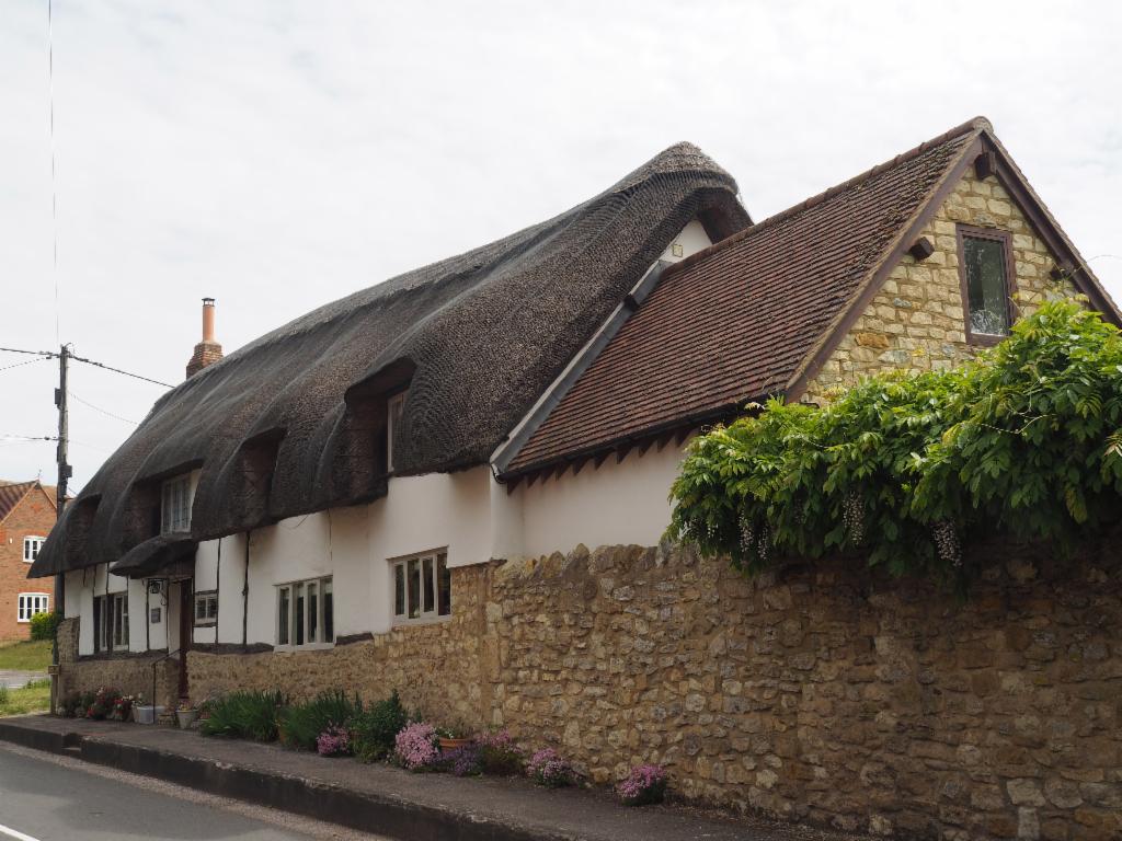
Thatched house in Long Crendon
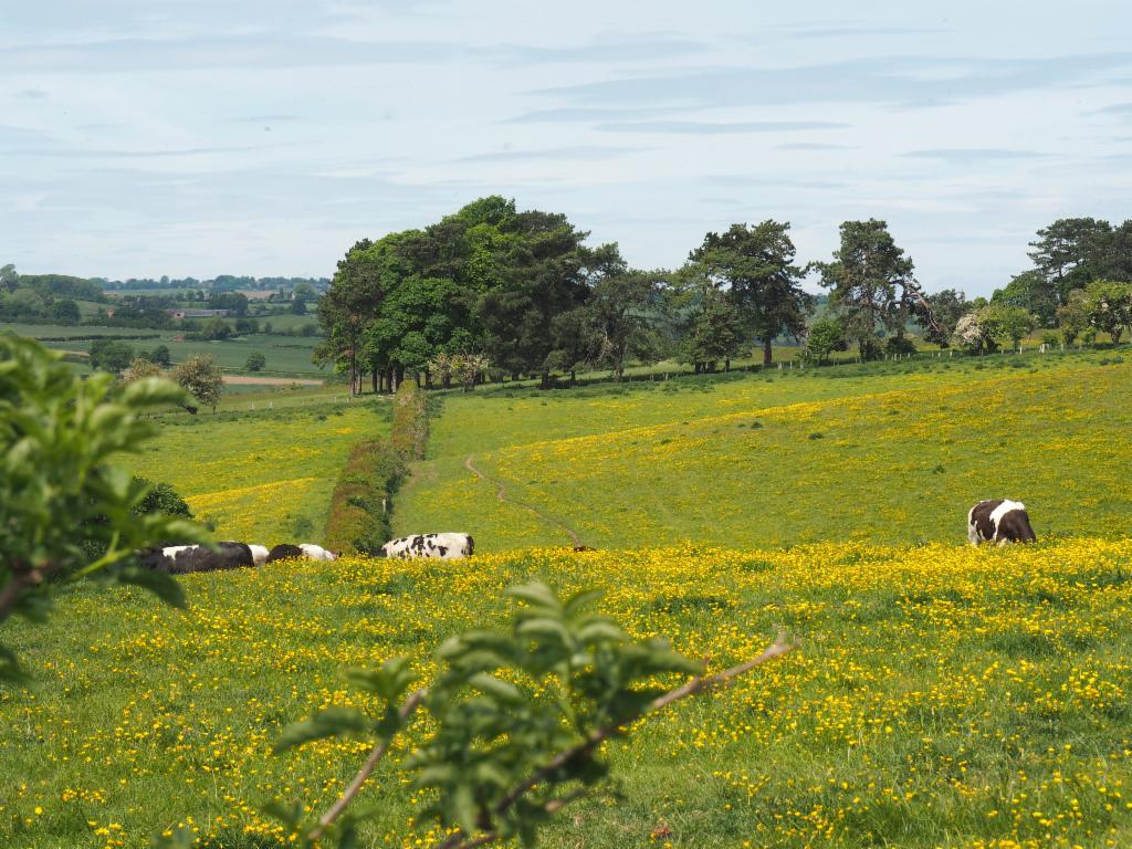
Pasturage near Chearsley
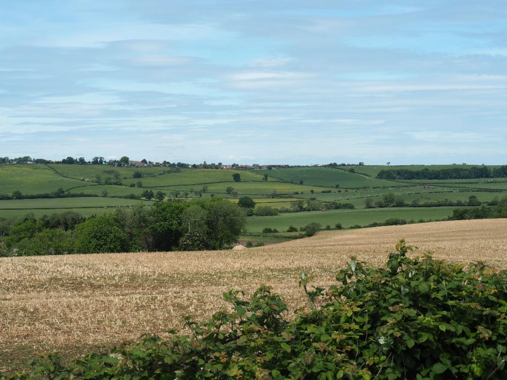
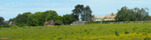
View from Winchendon towards Ashendon
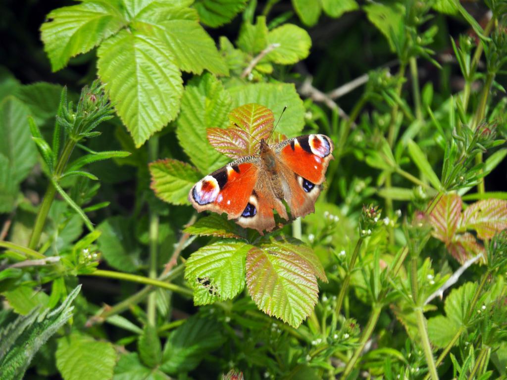
Peacock butterfly
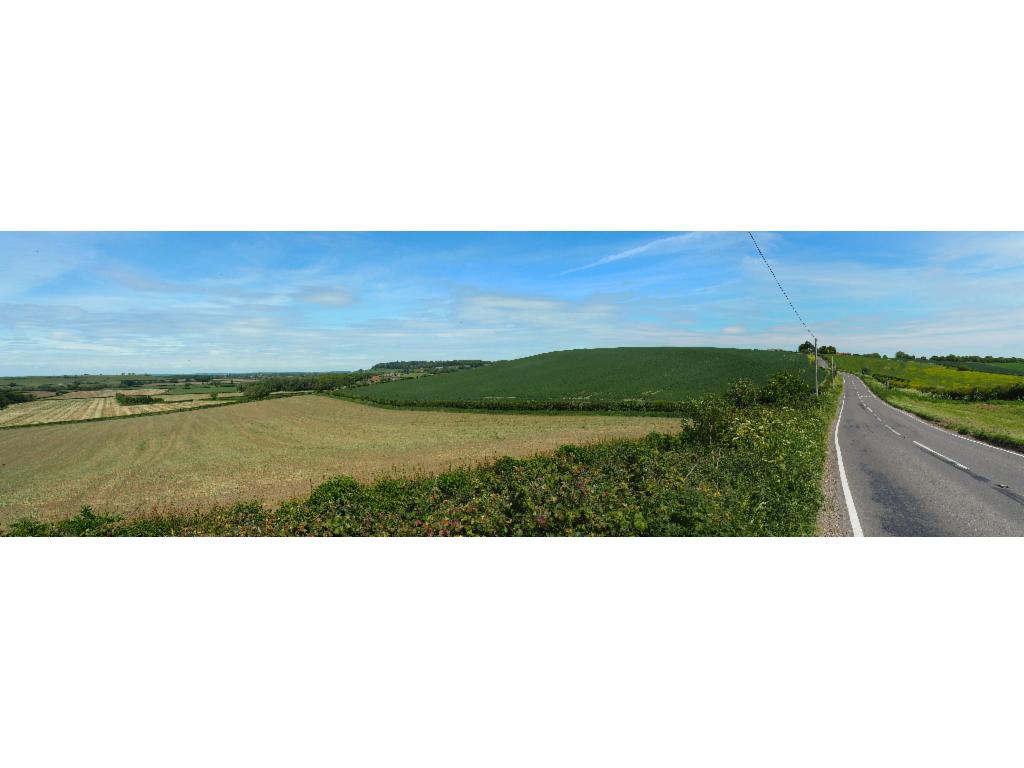
Road to Upper Winchendon
View from Winchendon to Waddesdon Manor
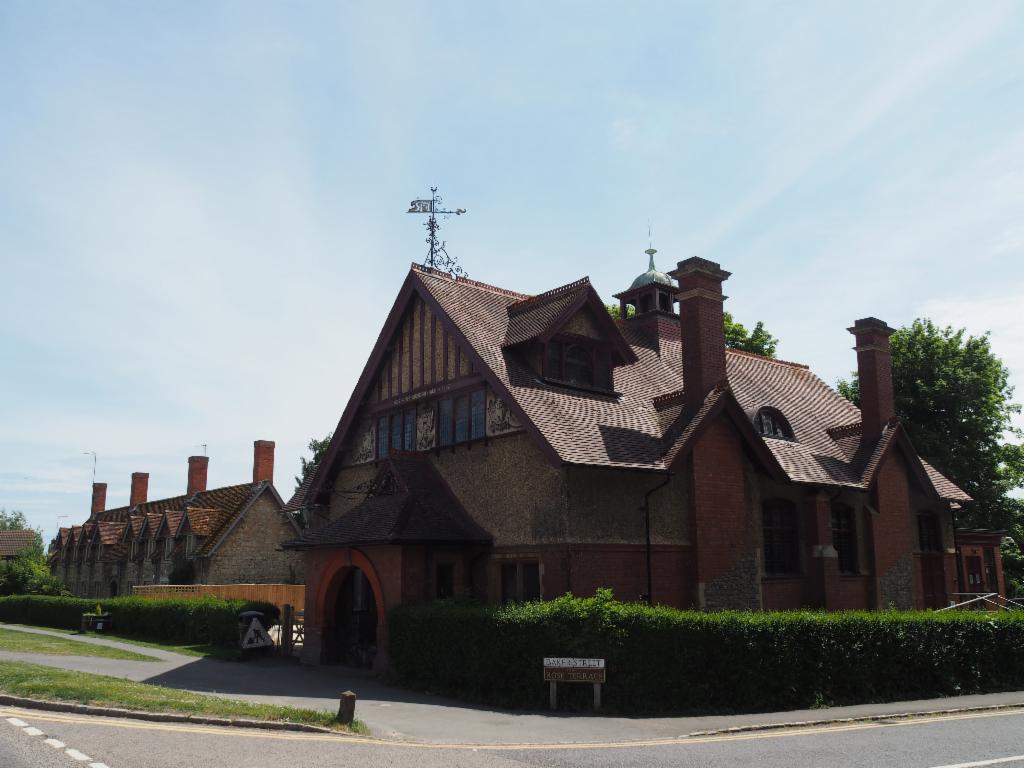
Waddesdon Hall

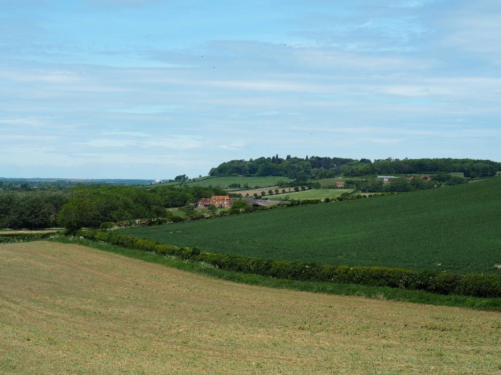
Ascent to Ashendon
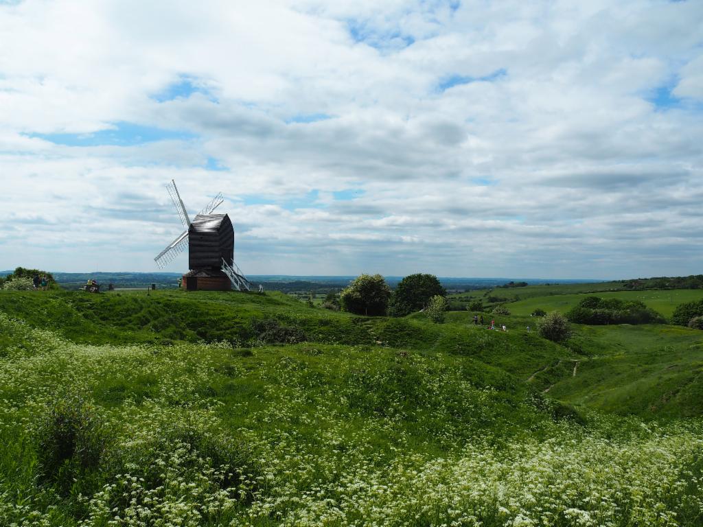
Arriving at the Brill Windmill
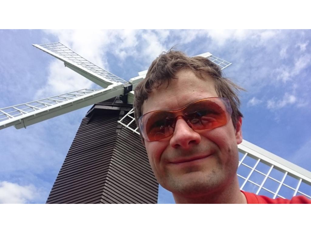
At the Brill Windmill
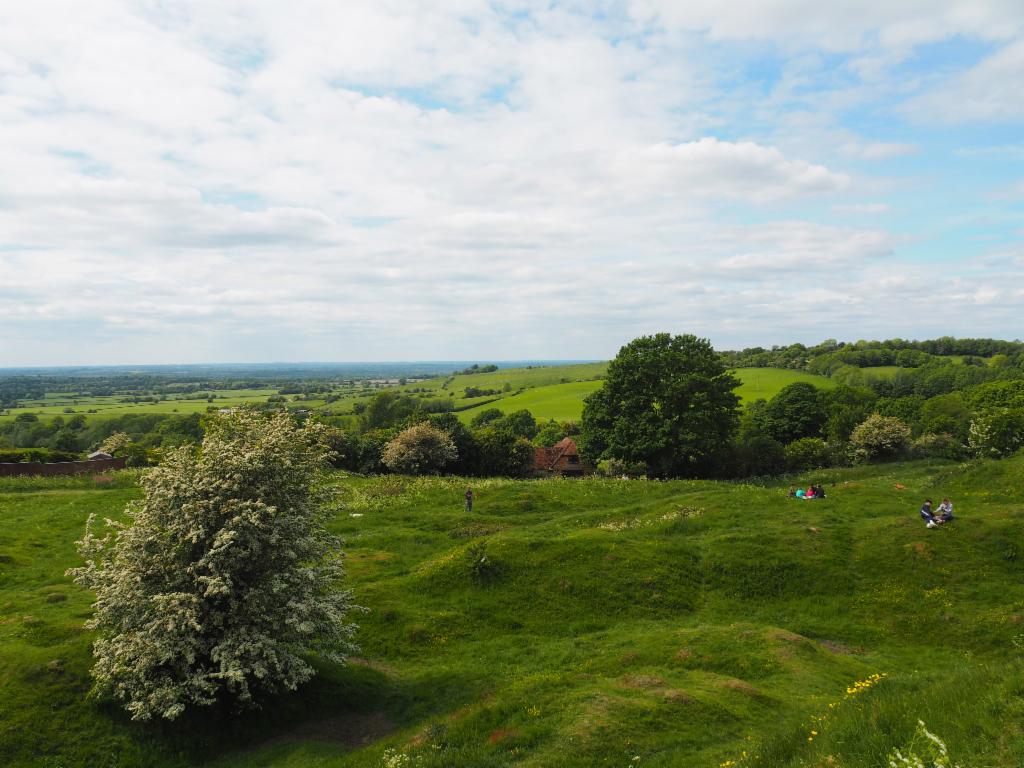
View from the Brill Windmill
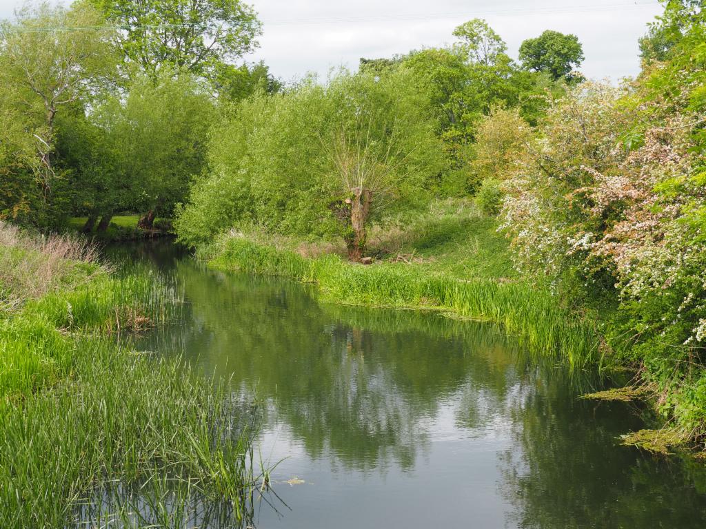
Cherwell in Islip