Cherwell Valley
7. 6. 2020
Peter Schrammel
Weather
overcast
Route
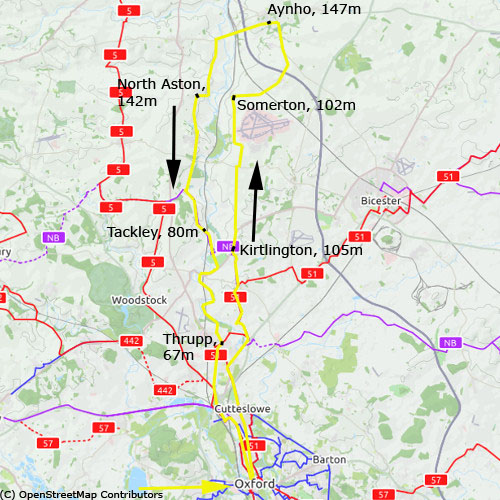
Oxford, 60m - Kirtlington, 105m - Somerton, 102m - Aynho, 147m - North Aston, 142m - Tackley, 80m - Thrupp, 67m - Oxford
Elevation gain
396m
Distance
73km
Timing
4 1/2h (1 + 1/2 + 1/2 + 3/4 + 1/2 + 3/4 + 1/2)
Report
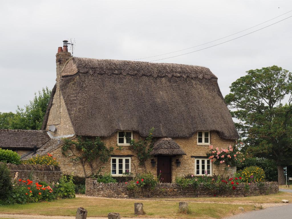
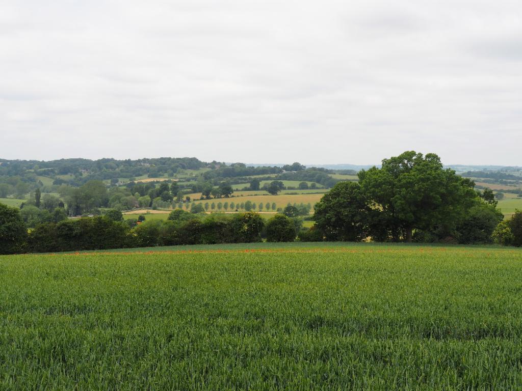
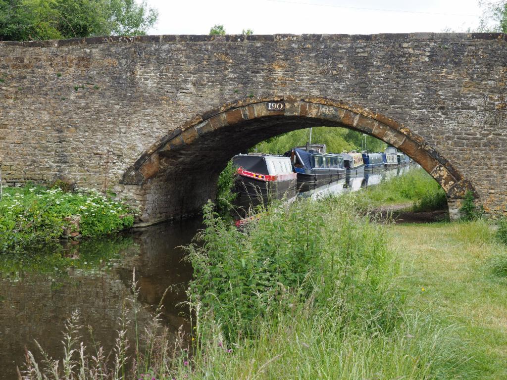
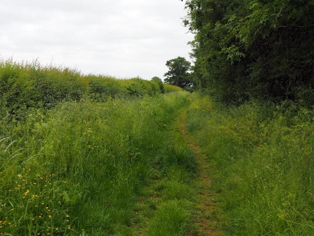
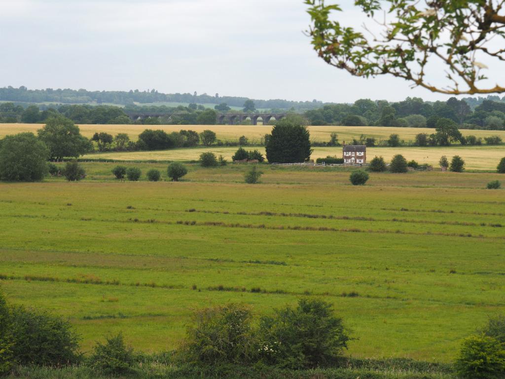
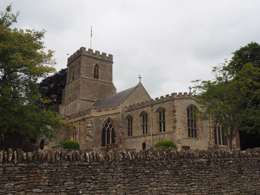
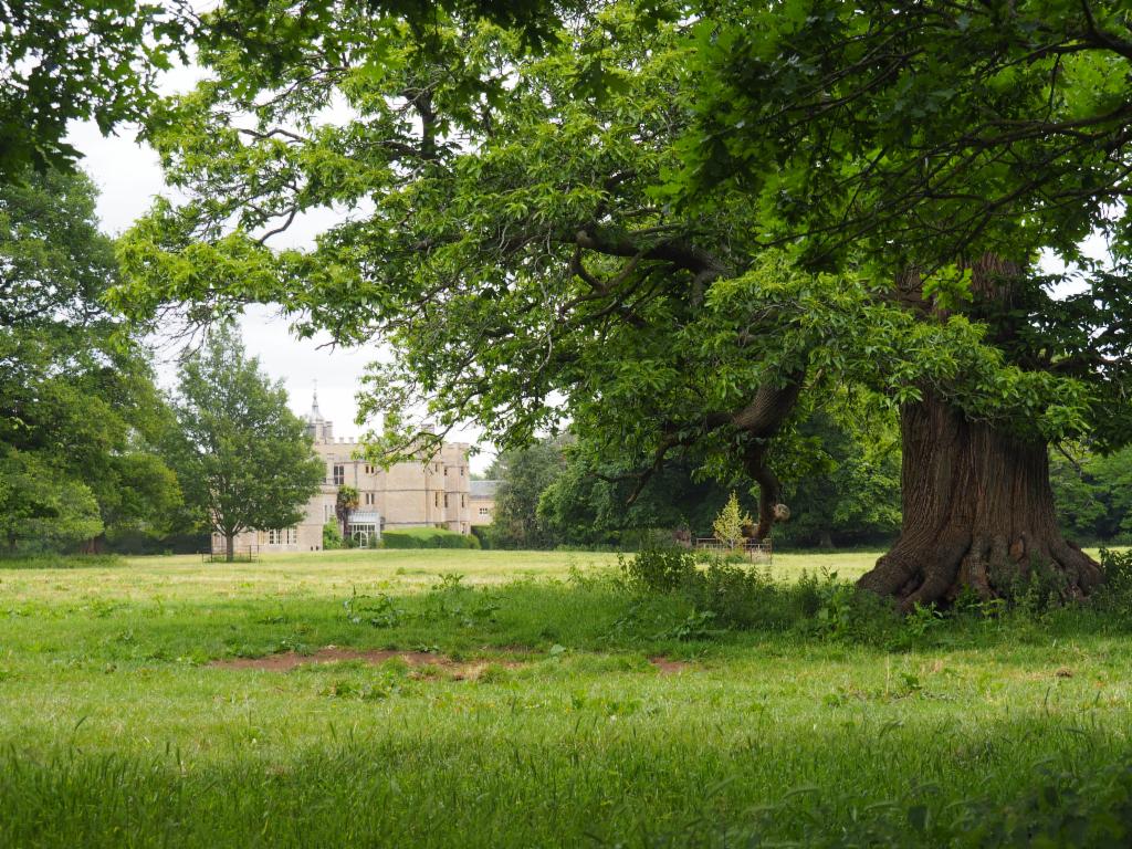
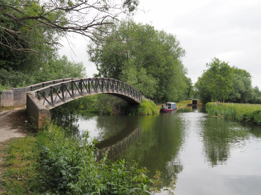
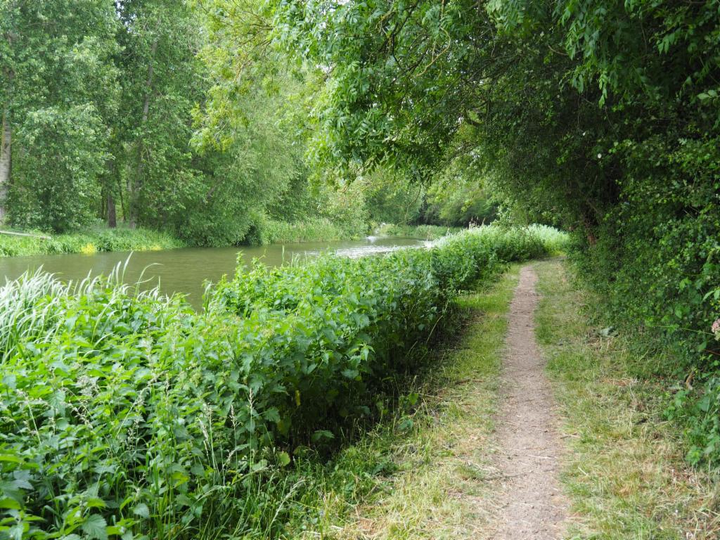
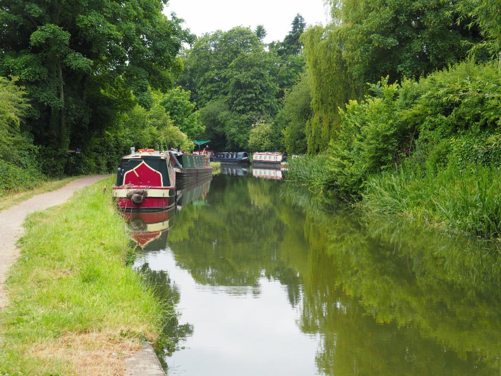
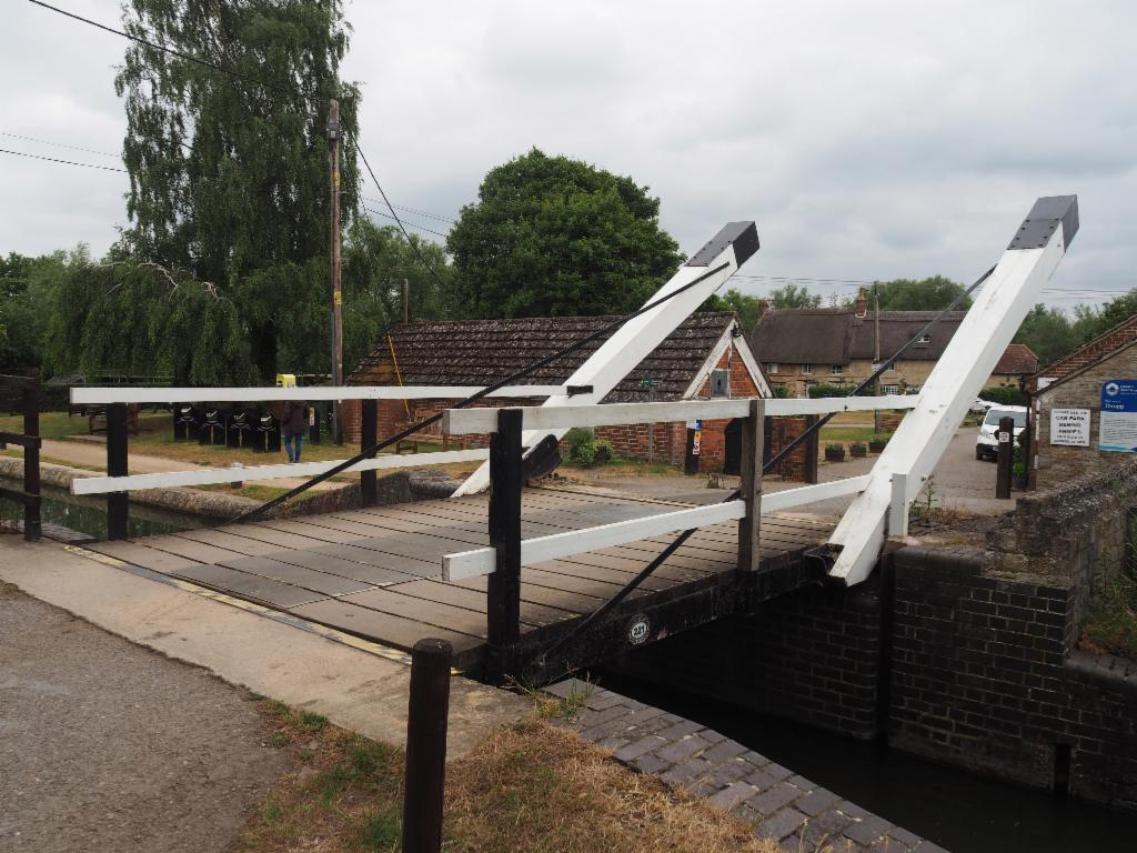
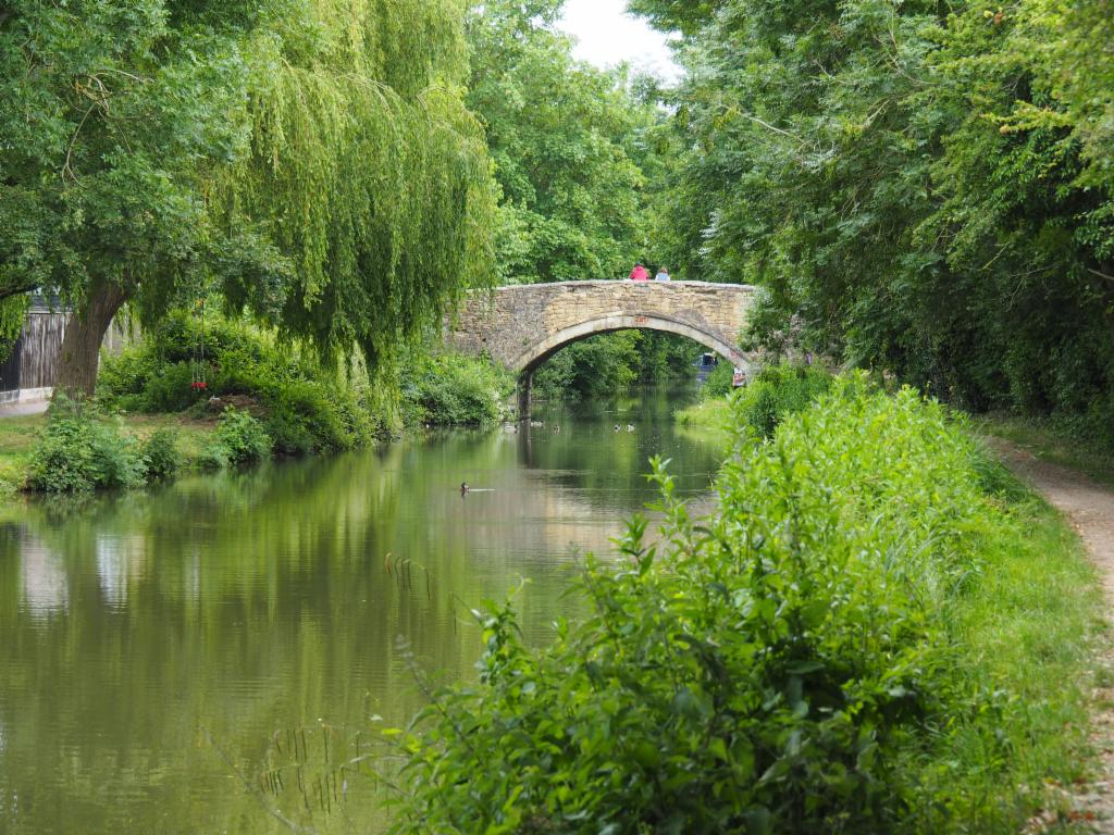
I took a day off to go for a cycle ride, but the sky was overcast in the morning and it was still quite fresh. I started late at 10.45am. I cycled on the Banbury Road to Gosforth. I was cold and also my knee hurt. Several times I considered to cut short, but ultimately continued. After having left the busy road to the A34 junction it was more quiet, slowly rising to Bletchingdon and then further up and down to Kirtlington, both beautiful villages with nice stone houses. The next section was straight with not too much up and down, but quite some headwind to Upper Heyford and then along the RAF base to Somerton. The road feel very steep into the village and I had to climb equally steep out of the vlllage again. The road to Souldern was rather flat. For a brief moment I could catch a view down to the viaduct of Bicester-Banbury railway an to the hills opposite of Cherwell valley. Arrived on the B4100 I first rolled down very fast, but then had to climb a steep hill again. This was very uncomfortable due to the heavy traffic that was overtaking at narrow distance. On the top of the hill, I passed through Aynho, a village with a big manor with park. I decided not to continue to Banbury, but to cross the valley and cycle back on the other side. To cross the valley I had to go above and below the M40, two railway lines, the canal and the river. Then I had to climb up again to Clifton. I decided to try the Bridleway to North Aston from there in order to avoid the busy roads. The bridleway soon transformed into a grassy path. It was a bit bumpy and quiet - I only encountered one jogger. From the top of a little hill I had a nice view over the valley and the viaduct. It was already after 1pm. So, I stopped to eat an apple, before I rolled down to the tarmac road and climbed up the hill to North Aston. Slight ups and downs via Middle Aston led me to Steeple Aston. All these villages are very beautiful. After having cycled down a steep hill with unexpected traffic lights at the bottom, I continued via Rousham castle, slowly rising and finally fast down to Tackley. From here, I decided to take the canal path from Enslow. To get there, I first crossed the railway at the station, and then via Pidgeons lock. The dirt road to Kirtlington was blocked by a caterpillar, so I took a bridleway via a Golf course to the A4095, which was quite busy - I tried to get as fast as possible to Enslow to get off that dangerous road. I thought I could get to the towpath via the Marina, but that was not possible. I had to cross the railway and canal first. Now it was quiet. I passed many residential moorings, a lock and an arched bridge to reach the point where canal and Cherwell join. The towpath was quite nice to ride, a bit bumpy at times and a bit narrow, in particular under the bridges. After Cherwell and canal had split again, I cycled past the church of Shipton to the Marina of Thrupp. An unexpectedly idyllic section with many arched bridges followed along the backyards of Kidlington. There were quite some walkers with dogs and a group of mountainbikers. I arrived home after 4pm via the wobbly drawbridge underneath the A34 and down via Wolvercote back into Oxford.


