
Tour de Trigs
6. 12. 2019 - 7. 12. 2019
Yumi Bagge, Petr Bauch, Peter Schrammel
Weather
sunny, rain and wind
Interest 
***: 24 hour / 50 miles orientation hike challenge - we had to give up after 21h / 44 miles, though.
Route
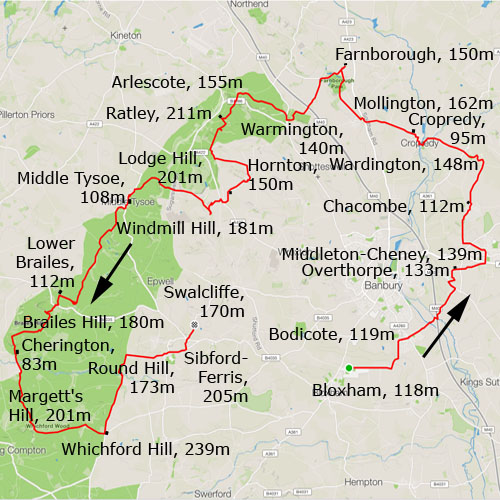
Bloxham, 118m - Bodicote, 119m - Overthorpe, 133m - Middleton-Cheney, 139m - Chacombe, 112m - Wardington, 148m - Cropredy, 95m - Mollington, 162m - Farnborough, 150m - Warmington, 140m - Arlescote, 155m - Ratley, 211m - Hornton, 150m - Lodge Hill, 201m - Middle Tysoe, 108m - Windmill Hill, 181m - Lower Brailes, 112m - Brailes Hill, 180m - Cherington, 83m - Margett's Hill, 201m - Whichford Hill, 239m - Round Hill, 173m - Sibford Ferris, 205m - Swalcliffe, 170m
Elevation gain
1683/-1631
Distance
76km
Timing
16 2/3h (1/2 + 3/4 + 1/2 + 3/4 + 3/4 + 3/4 + 1/2 + 1 + 2/3 + 3/4 + 1/2 + 1 + 1 1/2 + 1/2 + 1/2 + 1 + 1/2 + 1 + 2/3 + 1 + 1 + 1/2 + 1/4)
Stamina
M: very tough...
Difficulty
0: mud, mud, mud, ...
Danger
0: fences and barbed wire
Visitor frequency
c: cars and other participants
Report
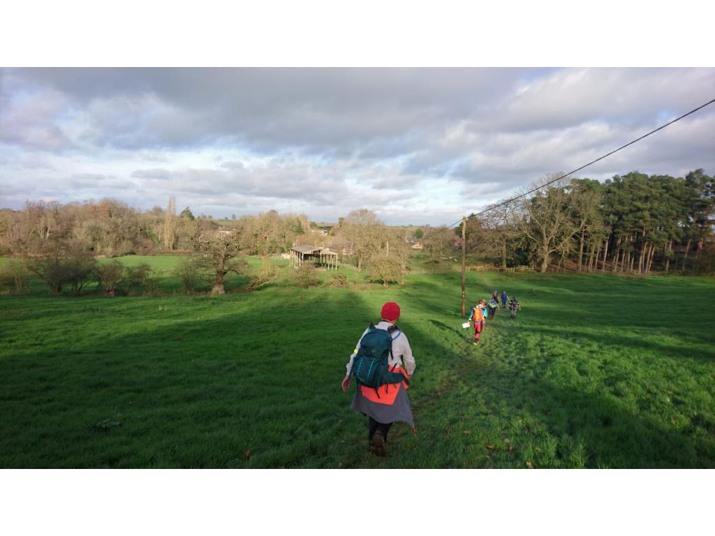
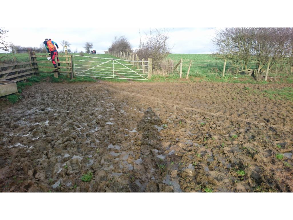
50 miles in 24 hours. On an unknown circuit that we had to find by given way points on the map. That was the challenge. Our start time was after 10am. Yumi picked me up from Seacourt and we arrived in Bloxham after 8am. Justin would take care of the car and bring us back the next day. After registration we had to go through medical questions and empty our backpacks for equipment checks. Before the start we had 30 minutes to plan the circuit on the map. We took the 1:25000 map and marked the points with sticky paper triangles on the map, which worked quite well. We got two thirds through the given way points before having to leave. We would plan the rest at a checkpoint later on the route. The beginning was easy because we could see the groups in front of us. We just had to walk fast enough via Bodicote, crossing the canal, Cherwell, motorway and railway and then up to Overthorpe. We tried to avoid stepping into the puddles as much as possible. After the checkpoint at Overthorpe the path continued to Middleton-Cheney. We had to cross a field. It felt like walking on rubber. The mud started to stick on the shoes, but there was no choice. Across meadows we walked over a hill and then down to Chacombe where the next check point was. We were a bit disappointed that we had just done 8 miles. After passing under a former railway track it became very muddy. There was no way except stepping into 15cm of mud. Following the group in front of us, we slightly missed the way and had to climb over a fence and walk through someone's backyard to reach the road in Wardington. Walking down the hill I felt a bit of pain in my knee, but it went away again. Towards Cropredy it became very muddy. The mud was sticking on our boots. WE had stop and remove it several times. So, we did not pay attention and missed to river crossing. We walked straight out to the road and walked back through the town. Fortunately, there was no secret checkpoint at the lock. The 12 miles checkpoint was at the beginning of the rather tedious road to Mollington. After crossing Southam Road we followed the seemingly endless path across fields along the hill edge, with the constant noise of the motorway down in the valley. Finally, we walked down a pasturage with view to the church of Farnborough, brightly lit in the evening sunlight, reminding us that we should plan the remaining route at the 16 miles checkpoint in the village. We took a slightly longer break to achieve this. It was after 4pm. The sun would be down in less than an hour. We would then have to walk in the dark for the next 14 hours. I had 3 sandwiches in my backbag, one in 6 hours. 6 soft buns and a pack of chocolate cookies for the stops in between. We topped up our water at each checkpoint. We continued to Warmington. Before crossing the motorway I stopped because I felt that I soar spot on my sole. I put a Compede and we continued. It was pitch black night now. The path to Arlescote crosses fields and we had to find the passages through the hedges. We soon overtook the group in front of us that had trouble finding the passages. After Arlescote we had to climb a steep hill to cross Camp Lane. A faster group overtook us now and lit us the way to Ratley where the 21 miles checkpoint was. The group that we had overtaken earlier arrived and one of their members gave up. We agreed that the other two members could join us. Out of Ratley the path went down and up twice with a fence in between which was not easy to pass as the map did not quite match reality. Walking on the road down to Hornton was not good for morale and one of our new team member's condition degraded. We managed to reach the 23 miles checkpoint at Hornton Grounds Farm and left her there to be picked up by the organisers. We continued after 8.30pm, walking down to the A422. We slightly messed up the direction over the field and so we did not find the way over the fence down into the valley. We found a way down, but not the right one. When we finally joined the correct way we had to check where the way continued upstream. In the meantime two other groups arrived who were more convinced than us where to go. We followed them since there were not any other options. When we reached Sugarswell Lane we were finally convinced that it was correct and headed straight down to Old Lodge Farm. There the owner stopped us with a request to watch out for his sick cat that would be out on the fields. In the meanwhile a couple of groups have joined together and we walked together over the field to Upper Tysoe, the 27 miles checkpoint. Slowly my soles started to hurt, but it was fine to continue. Towards 11pm we climbed up the windmill hill over a sticky field. This time I had studied the map well and stopped Petr from running down the hill on the wrong path. The steep, slippery steps downwards required quite some attention. On the road we joined a group of the organisers that walked in front of us. We were wondering why. The reason was the probably the secret checkpoint that we reached soon later. I had increasingly difficulties to keep up with the speed of the other three as my soles worsened. Before Lower Brailes we had problems finding the unmanned checkpoint. We had already crossed the brook, but had to return to find it while it started raining more and more. At the checkpoint in Lower Brailes our forth team member finished her 30 miles challenge. It was already 1.15am. I ate my third sandwich. After some deliberation I decided to continue. In the heavy rain we walked in our original group composition towards Brailes Hill. Unfortunately, we turned right too early and got completely lost between the fences on the steep hill. We searched our way backwards until we were able to climb over the barbed wire. After some further searching we found the main path. We followed it until we saw lights coming down from the hill. This was the sign for us that those guys had taken the wrong way and we were just about to do the same stupidity. We checked the map and took a short cut across the field back to the correct path. It was raining heavily and the wind was blowing the rain into our faces. The further path led through several fenced pasturages until it turned sharply left. Fortunately, we did not miss that one. The way down was very, very steep and slippery. I was lucky to have my poles. The 35 miles checkpoint was at the foot of the hill near Stourton, which we reached towards 3am. My feet felt better now. We warmed ourselves up in the tent for while. The rain had eased a bit. We continued uphill. There were some doubts because the reality did not match with the map, but we reached the road at the Hill Coppice. The tarmac made my feet hurt again, but it became soon better as soon as we walked on the dirt road around Whichford Wood. Petr's back got worse and he had to stop and stretch several times. Somehow we managed to reach the 40 miles checkpoint on top of Whichford Hill. A group that had overtaken us just before was sent back to an unmanned checkpoint that they had missed. We sat down in the tent and discussed how to proceed. It was 5am. The organisers told us that all other groups behind us had already given up. There was still enough time to reach the finish, so we decided to continue, although the next way to the next checkpoint was mostly on tarmaced road, which would almost certainly kill my feet. It was very painful. After the ford we turned the wrong way and had to walk across a field to reach the right path again. We saw lights behind us. These were the organisers collecting the material from the circuit. My feet improved a bit uphill to Sibford Ferris, but then degraded further as we approached the 44 miles checkpoint. Yumi's feet were still fine. She would have liked to continue, but for me and Petr it was clear that just was not worth it. The last 5 miles had already been pure torture. There were another 8 miles to go, which sounds little considering how far we had already got, but 12km is really a lot with a couple of blisters on the soles that could burst any moment. Groups had to be composed of at least three walkers and since we were the last group, Yumi had to stop here too. At 7am the organisers picked us up. I immediately fell asleep in the taxi van. We arrived in Bloxham at daylight. We had to remove our dirty boots before entering the canteen to have breakfast. I had to walk on my socks because I had put my sneakers into the car and Justin was not here yet. When Just arrived I just put on fresh socks and slipped into the sneakers. At home I took a shower. I had two big swollen blisters on each sole. I opened them, powdered and dressed the wounds and went to bed. The next day I was almost able to walk normally again. For Yumi, it was a bit frustrating because she wanted to finish to be qualified for 100 miles walk next year. So, she had to attempt the 50 miles again next year. Next time, I would definitely wear shoes with less rigid soles.
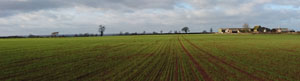
Near Middleton-Cheney
Church of Middleton-Cheney
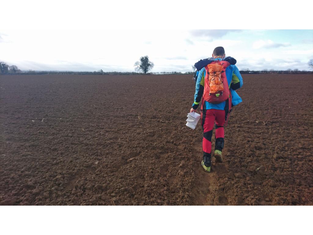
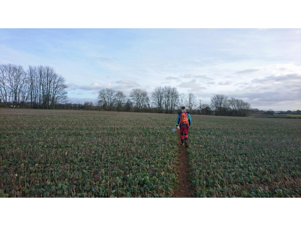
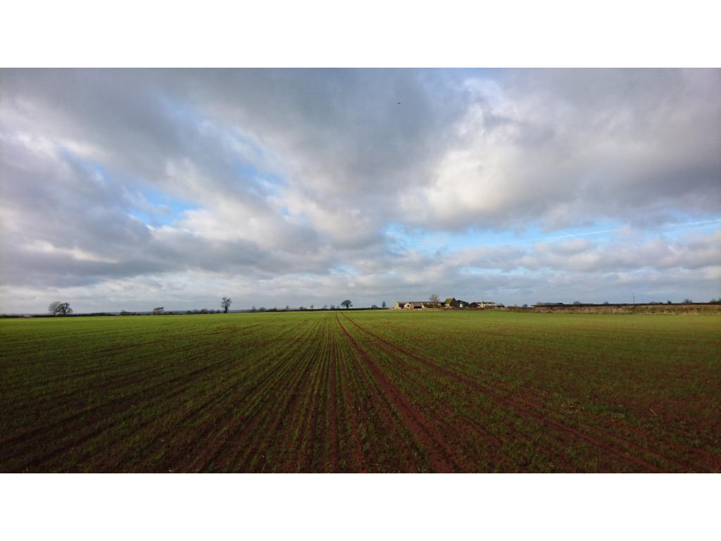
Crossing a field after Middleton-Cheney
Approaching Chacombe
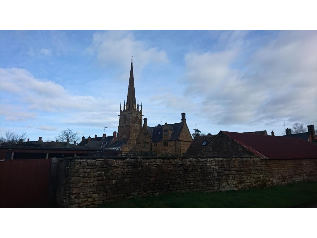
Church of Chacombe
No way out but through...
Field towards Wardington
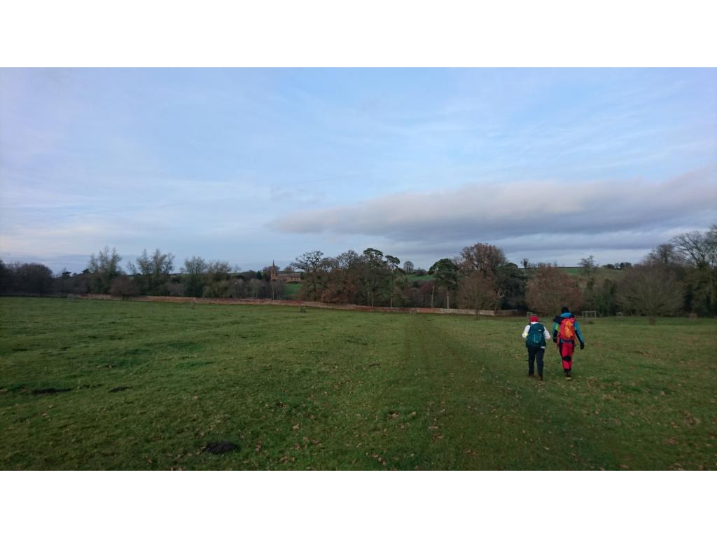
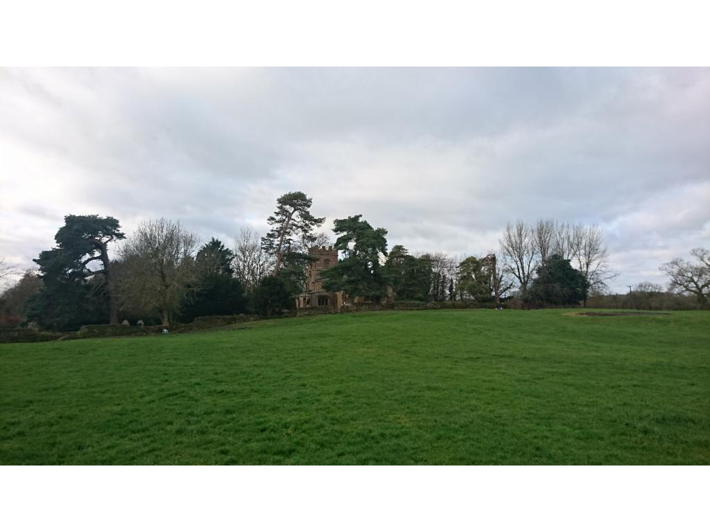
Approaching Farnborough
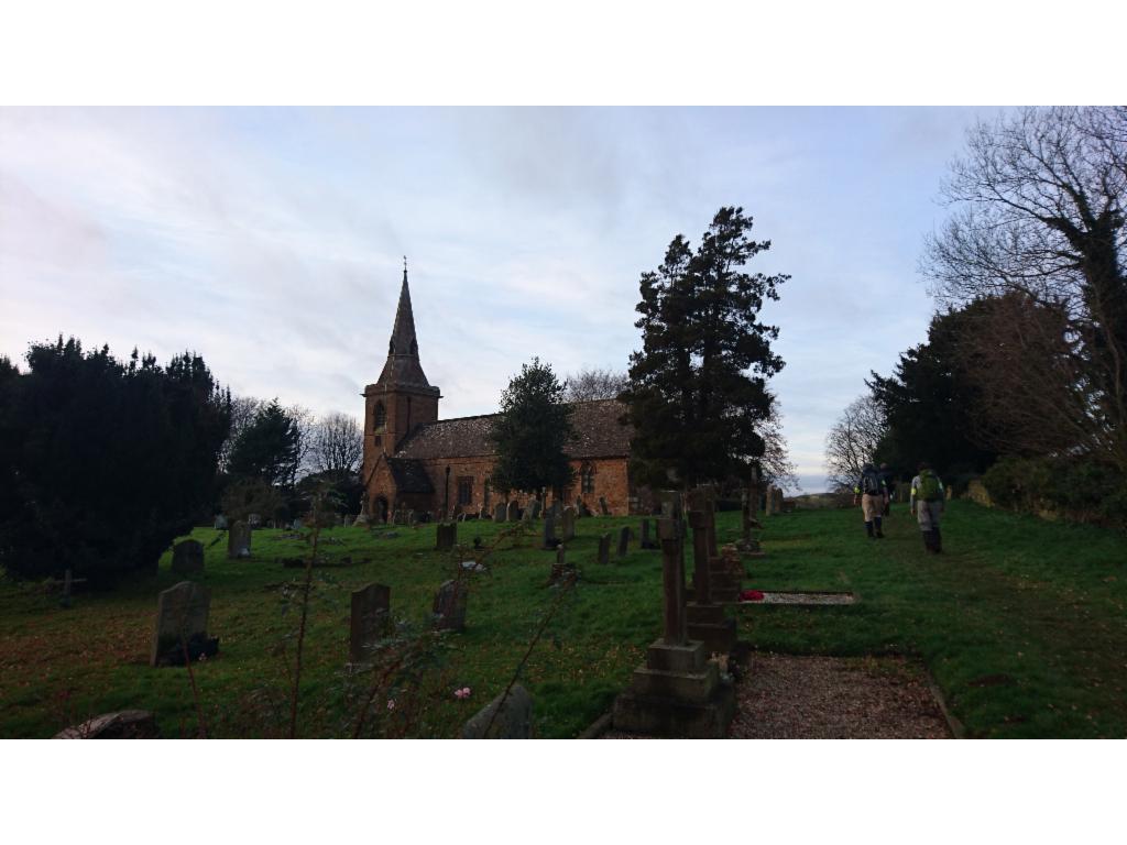
Church of Farnborough
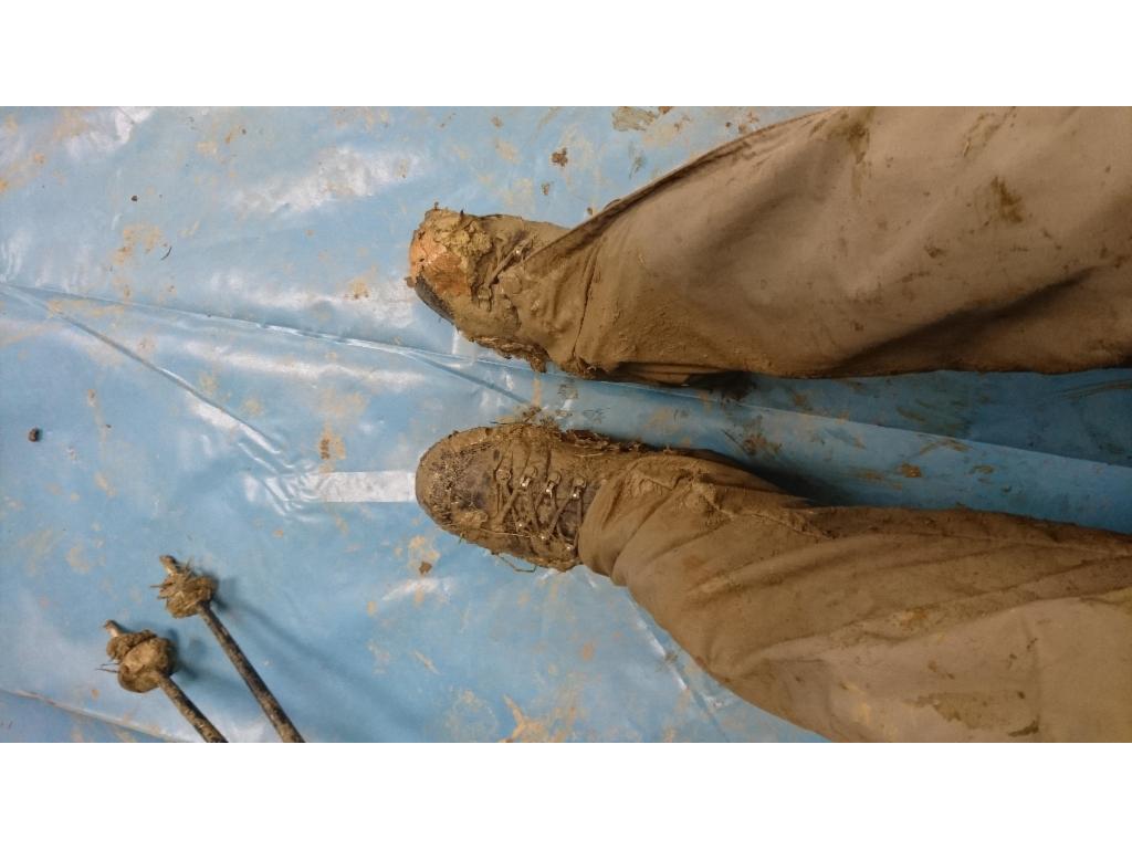
Muddy shoes
Tired?