
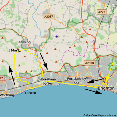
Lancing - Steyning
29. 4. 2017
Peter Schrammel
Weather
cloudy
Interest 
**: Yet another tour over the steep northern edge of the South Downs
Route
Brighton, 29m - Lancing, 7m - Steyning Hill, 134m - Steyning, 26m - Shoreham, 4m - Brighton
Elevation gain
269m
Distance
47km
Timing
3 1/4h (1 + 3/4 + 1/4 + 1/2 + 3/4)
Stamina
C
Difficulty
0
Danger
0
Visitor frequency
c: a lot of traffic, a bit less between Lancing and Steyning
Report
This Sunday afternoon led me to explore the South Downs hills west of river Adur. So, I cycled along the coast to Shoreham, crossed river Adur at the lock and continued to Lancing. After crossing the railway and the dual-carriage way I took a country road leading up into a little valley west of Lancing College. Even on this road there was quite a lot of traffic. The road leaves the valley and climbs to reach the eastern ridge, which it follows to go around the steep Steyning Bowl. From there, I had nice views over the Adur valley. The road then falls steeply down into Steyning. In order to avoid the busy A road, I immediately turned right to take the road to Botolphs. From there I joined the cyclepath on the dismantled Downslink railway track back to Shoreham. As usual, the road through Shoreham was a single traffic jam. As soon as possible I took the cyclepath along the beach back into Brighton.
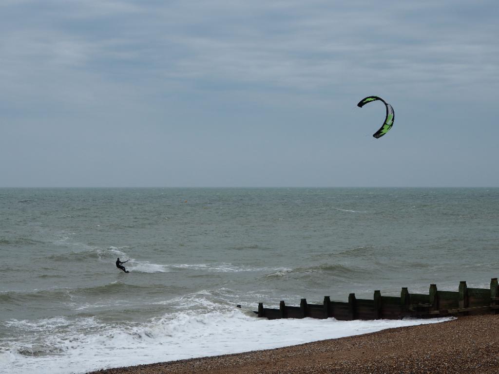
Kite surfer near Shoreham
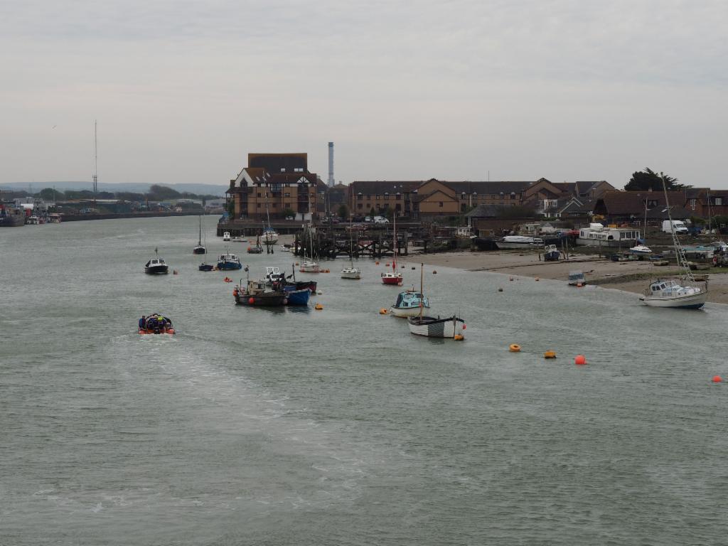
Mouth of river Adur at Shoreham
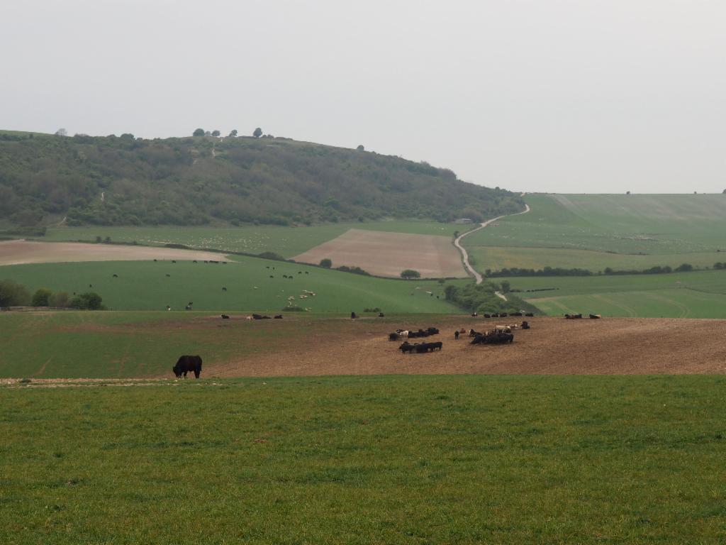
Hills north of Lancing
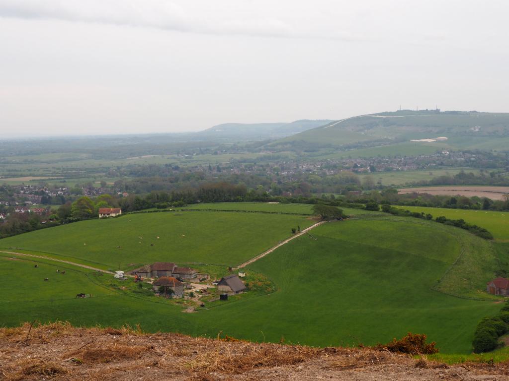
Steyning and Beeding Hill opposite
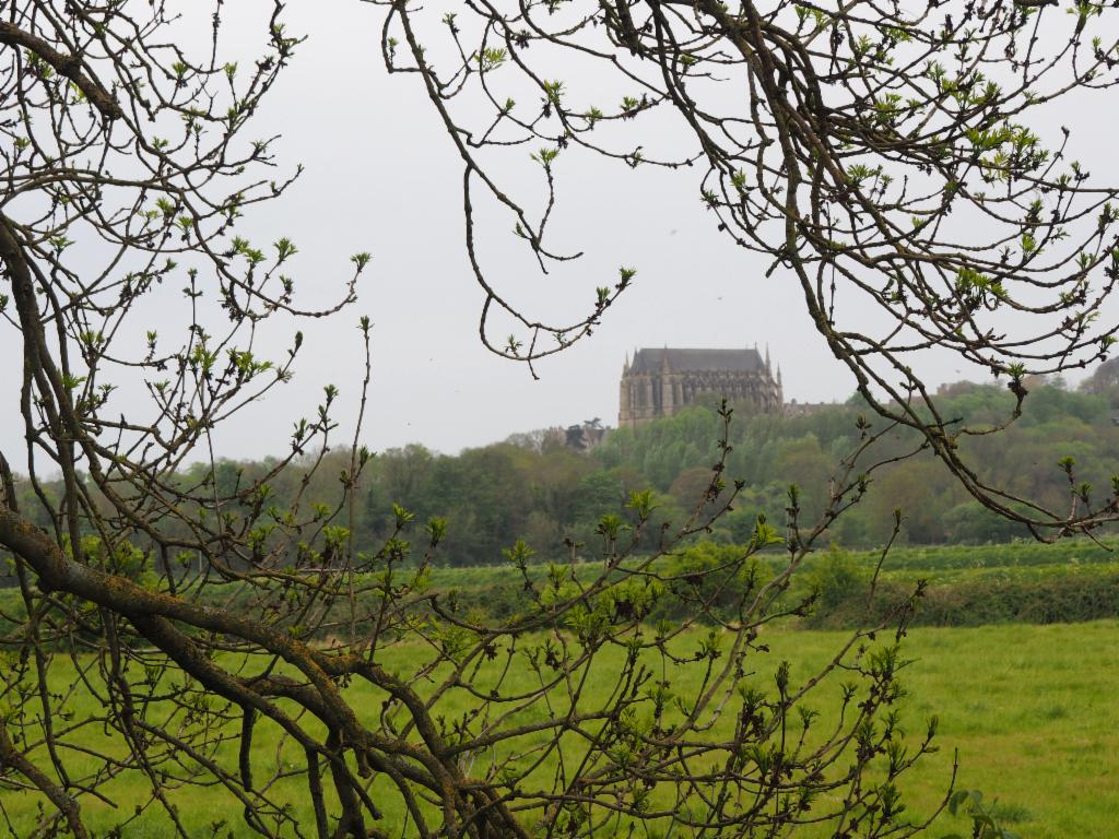
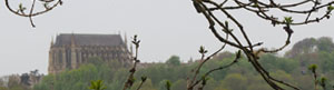
Lancing College